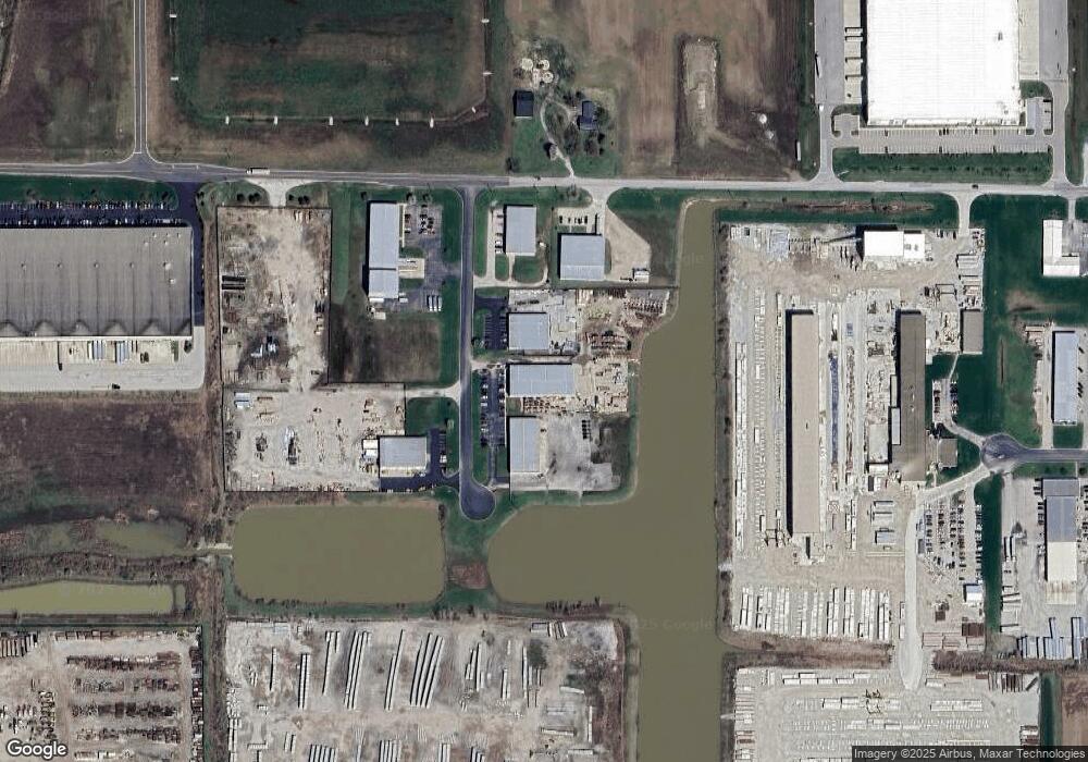
3865 N Commercial Pkwy Greenfield, IN 46140
Mount Comfort Neighborhood
--
Bed
--
Bath
14,400
Sq Ft
1.5
Acres
About This Home
This home is located at 3865 N Commercial Pkwy, Greenfield, IN 46140. 3865 N Commercial Pkwy is a home located in Hancock County with nearby schools including Mt. Comfort Elementary School, Mt. Vernon Middle School, and Mt. Vernon High School.
Ownership History
Date
Name
Owned For
Owner Type
Purchase Details
Closed on
Jun 20, 2018
Sold by
Mea Properties Llc
Bought by
The Llc
Home Financials for this Owner
Home Financials are based on the most recent Mortgage that was taken out on this home.
Original Mortgage
$1,576,000
Outstanding Balance
$506,095
Interest Rate
4.5%
Mortgage Type
Credit Line Revolving
Purchase Details
Closed on
Jul 28, 2009
Sold by
Hoss Properties Llc
Bought by
Mea Properties Llc
Home Financials for this Owner
Home Financials are based on the most recent Mortgage that was taken out on this home.
Original Mortgage
$276,500
Interest Rate
5.36%
Mortgage Type
Commercial
Create a Home Valuation Report for This Property
The Home Valuation Report is an in-depth analysis detailing your home's value as well as a comparison with similar homes in the area
Home Values in the Area
Average Home Value in this Area
Purchase History
| Date | Buyer | Sale Price | Title Company |
|---|---|---|---|
| The Llc | $1,024,800 | -- | |
| Ottesen Group Llc | $1,024,827 | Meridian Title Corp | |
| Mea Properties Llc | -- | -- |
Source: Public Records
Mortgage History
| Date | Status | Borrower | Loan Amount |
|---|---|---|---|
| Open | Ottesen Group Llc | $1,576,000 | |
| Previous Owner | Mea Properties Llc | $276,500 |
Source: Public Records
Tax History Compared to Growth
Tax History
| Year | Tax Paid | Tax Assessment Tax Assessment Total Assessment is a certain percentage of the fair market value that is determined by local assessors to be the total taxable value of land and additions on the property. | Land | Improvement |
|---|---|---|---|---|
| 2024 | $19,043 | $901,800 | $225,000 | $676,800 |
| 2023 | $19,043 | $883,300 | $225,000 | $658,300 |
| 2022 | $20,246 | $842,900 | $94,500 | $748,400 |
| 2021 | $18,909 | $826,400 | $94,500 | $731,900 |
| 2020 | $19,500 | $810,200 | $94,500 | $715,700 |
| 2019 | $18,480 | $796,200 | $94,500 | $701,700 |
| 2018 | $16,782 | $710,800 | $94,500 | $616,300 |
| 2017 | $18,194 | $706,800 | $94,500 | $612,300 |
| 2016 | $16,796 | $706,800 | $94,500 | $612,300 |
| 2014 | $19,428 | $713,200 | $94,500 | $618,700 |
| 2013 | $19,428 | $713,200 | $94,500 | $618,700 |
Source: Public Records
Map
Nearby Homes
- 0 W North St Unit MBR22013036
- 6130 W 300 N
- 6114 W 300 N
- 700 North W
- 4844 N 700 W
- 4902 N 700 W
- 7418 Deerfield Dr
- 11851 Fawn Crest Dr
- 11727 Fawn Crest Dr
- 11912 Moorfield Ln
- 4859 Penoyer Ln
- 5020 Greenside Dr
- 6865 W Philadelphia Dr
- 4758 Chip Shot Ln
- 6854 W Philadelphia Dr
- 5625 Cherrywood Ln
- 5636 Cherrywood Ln
- 5636 N Peppereel Way
- 4846 Chip Shot Ln
- 4067 Denali Dr
- 3863 N Commercial Pkwy
- 6556 W 400 N
- 6268 W Stoner Dr
- 6278 W 400 N
- 00-A W Lane Rd
- 00-B W Lane Rd
- 6191 W 400 N
- 6746 W 350 N
- 3925 N 700 W
- 3941 N 700 W
- 3989 N 700 W
- 3678 N 700 W
- 4000 N 700 W
- 6026 W 400 N
- 6063 W 400 N
- Appr.7500 W 350n
- 0 W 350 N Unit MBR21711290
- 0 W 350 N Unit MBR21711020
- 0 W 350 N Unit MBR21711024
- 0 W 350 N Unit MBR21711248