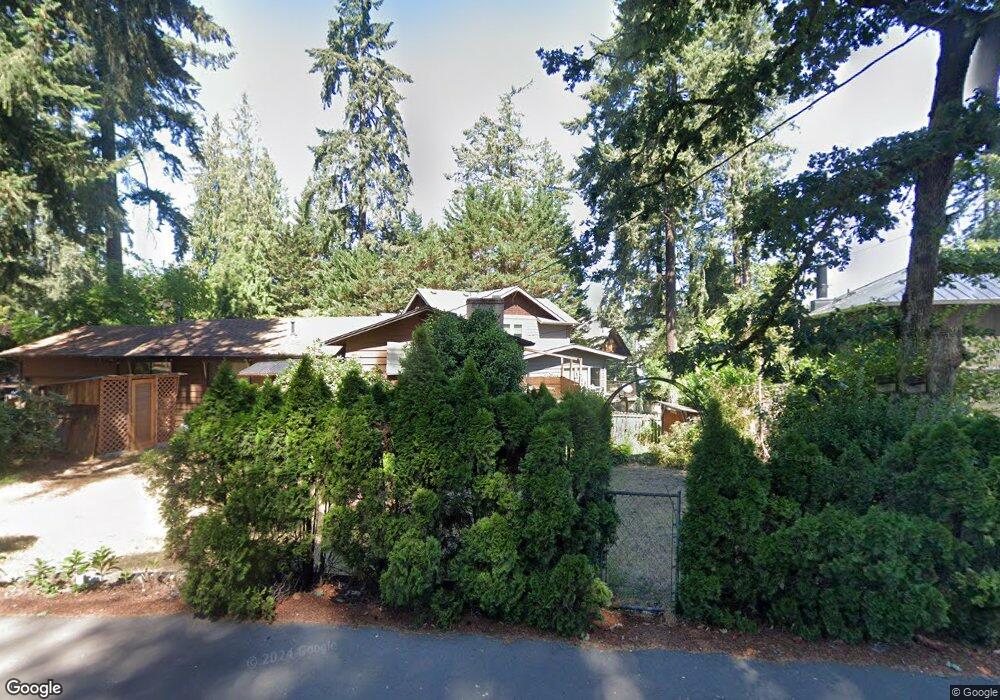
3867 S Shore Blvd Lake Oswego, OR 97035
Bryant NeighborhoodEstimated Value: $1,547,000 - $2,032,000
3
Beds
2
Baths
2,044
Sq Ft
$860/Sq Ft
Est. Value
About This Home
This home is located at 3867 S Shore Blvd, Lake Oswego, OR 97035 and is currently estimated at $1,758,160, approximately $860 per square foot. 3867 S Shore Blvd is a home located in Clackamas County with nearby schools including Lakeridge Middle School, Lakeridge High School, and The Children's Hour Academy.
Ownership History
Date
Name
Owned For
Owner Type
Purchase Details
Closed on
Nov 27, 2000
Sold by
Johnson Camae C
Bought by
Ericson Scott M and Ericson Jennifer P
Current Estimated Value
Purchase Details
Closed on
Dec 18, 1996
Sold by
Mochon Mark F
Bought by
Chittim Camae C Johnson
Create a Home Valuation Report for This Property
The Home Valuation Report is an in-depth analysis detailing your home's value as well as a comparison with similar homes in the area
Home Values in the Area
Average Home Value in this Area
Purchase History
| Date | Buyer | Sale Price | Title Company |
|---|---|---|---|
| Ericson Scott M | $275,000 | Ticor Title Insurance Compan | |
| Ericson Scott M | $275,000 | Ticor Title Insurance Compan | |
| Chittim Camae C Johnson | $220,000 | First American Title Ins Co | |
| Chittim Camae C Johnson | $220,000 | First American Title Ins Co |
Source: Public Records
Tax History Compared to Growth
Tax History
| Year | Tax Paid | Tax Assessment Tax Assessment Total Assessment is a certain percentage of the fair market value that is determined by local assessors to be the total taxable value of land and additions on the property. | Land | Improvement |
|---|---|---|---|---|
| 2025 | $12,905 | $672,005 | -- | -- |
| 2024 | $12,561 | $652,433 | -- | -- |
| 2023 | $12,561 | $633,431 | $0 | $0 |
| 2022 | $11,830 | $614,982 | $0 | $0 |
| 2021 | $10,927 | $597,070 | $0 | $0 |
| 2020 | $10,652 | $579,680 | $0 | $0 |
| 2019 | $10,390 | $562,797 | $0 | $0 |
| 2018 | $9,881 | $546,405 | $0 | $0 |
| 2017 | $9,534 | $530,490 | $0 | $0 |
| 2016 | $8,680 | $515,039 | $0 | $0 |
| 2015 | $8,386 | $500,038 | $0 | $0 |
| 2014 | $8,277 | $485,474 | $0 | $0 |
Source: Public Records
Map
Nearby Homes
- 17367 Canal Cir
- 16755 Graef Cir
- 4160 Westbay Rd
- 16636 Maple Cir
- 4264 Westbay Rd
- 4368 Lakeview Blvd
- 4241 Cobb Way
- 17210 Cedar Rd
- 3600 Lakeview Blvd
- 4470 Lakeview Blvd
- 3548 Lakeview Blvd
- 3730 Upper Dr
- 4224 Haven St
- 4480 Upper Dr
- 4610 Lower Dr
- 17035 Westview Dr
- 17810 Sarah Hill Ln
- 3850 Lake Grove Ave
- 3884 Lake Grove Ave
- 4280 Bernard St
- 3867 Southshore Blvd
- 3805 Southshore Blvd
- 3815 South Shore
- 3815 S Shore Bl
- 3815 Southshore Blvd
- 3889 Southshore Blvd
- 3915 Southshore Blvd
- 16903 Allen Rd
- 16931 Allen Rd
- 3919 Southshore Blvd
- 3931 Southshore Blvd
- 3814 Southshore Blvd
- 16833 Allen Rd
- 3917 Southshore Blvd
- 3870 S Shore Blvd
- 3870 Southshore Blvd
- 16819 Allen Rd
- 3930 S Shore Blvd
- 3930 Southshore Blvd
- 3820 Southshore Blvd