3869 Hillsdale Dr Auburn Hills, MI 48326
Estimated Value: $461,000 - $549,000
3
Beds
2
Baths
1,808
Sq Ft
$274/Sq Ft
Est. Value
About This Home
This home is located at 3869 Hillsdale Dr, Auburn Hills, MI 48326 and is currently estimated at $495,540, approximately $274 per square foot. 3869 Hillsdale Dr is a home located in Oakland County with nearby schools including Rogers Elementary, Pontiac Middle School, and Pontiac High School.
Ownership History
Date
Name
Owned For
Owner Type
Purchase Details
Closed on
Sep 22, 2016
Sold by
Borski Ronald B and Borski Mary F
Bought by
Borski Ronald B and Borski Mary F
Current Estimated Value
Purchase Details
Closed on
Aug 17, 2011
Sold by
Ferriby Marianne H
Bought by
Borski Ronald B and Borski Mary F
Purchase Details
Closed on
Dec 15, 2008
Sold by
Hertler Helen L and Hertler Luther
Bought by
Hertler Helen L and Helen Louise Hertler Trust
Purchase Details
Closed on
Oct 26, 2001
Sold by
Heritage Of Auburn Hills
Bought by
Hertler Luther
Create a Home Valuation Report for This Property
The Home Valuation Report is an in-depth analysis detailing your home's value as well as a comparison with similar homes in the area
Home Values in the Area
Average Home Value in this Area
Purchase History
| Date | Buyer | Sale Price | Title Company |
|---|---|---|---|
| Borski Ronald B | -- | None Available | |
| Borski Ronald B | $175,000 | Metro Hills Title Agency Llc | |
| Hertler Helen L | -- | None Available | |
| Hertler Luther | $259,975 | -- |
Source: Public Records
Tax History Compared to Growth
Tax History
| Year | Tax Paid | Tax Assessment Tax Assessment Total Assessment is a certain percentage of the fair market value that is determined by local assessors to be the total taxable value of land and additions on the property. | Land | Improvement |
|---|---|---|---|---|
| 2024 | $2,023 | $207,180 | $0 | $0 |
| 2023 | $1,930 | $182,760 | $0 | $0 |
| 2022 | $3,409 | $165,550 | $0 | $0 |
| 2021 | $3,354 | $162,710 | $0 | $0 |
| 2020 | $1,817 | $159,170 | $0 | $0 |
| 2019 | $3,078 | $157,160 | $0 | $0 |
| 2018 | $3,010 | $158,210 | $0 | $0 |
| 2017 | $2,888 | $158,950 | $0 | $0 |
| 2016 | $2,869 | $146,370 | $0 | $0 |
| 2015 | -- | $129,820 | $0 | $0 |
| 2014 | -- | $106,960 | $0 | $0 |
| 2011 | -- | $91,800 | $0 | $0 |
Source: Public Records
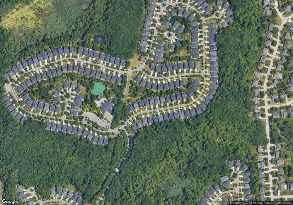
Map
Nearby Homes
- 3640 Camden Ct
- 4035 Hillsdale Dr Unit 275
- 3634 Camden Ct
- 3534 Riverside Dr Unit 141
- 3879 Teakwood Ln
- 3633 Thornwood Dr
- 3674 Merriweather Ln
- 3780 Bald Mountain Rd
- 3095 Bridgewater Rd Unit 30
- 3057 Bridgewater Rd
- 423 Silvervale Dr
- 1906 Independence Ct
- 3111 Ramzi Ln
- 3273 Salem Dr
- 3639 Heatherwood Ct
- 5700 Rolling Hills Dr
- 1609 Kilburn Rd N
- 2638 Patrick Henry Rd
- 3101 Elstead St
- 2530 Patrick Henry St
- 3871 Hillsdale Dr Unit 112
- 3867 Hillsdale Dr
- 3873 Hillsdale Dr Unit 113
- 3865 Hillsdale Dr
- 3705 Crestwood Dr
- 3707 Crestwood Dr
- 3703 Crestwood Dr
- 3875 Hillsdale Dr
- 3863 Hillsdale Dr
- 3709 Crestwood Dr
- 3877 Hillsdale Dr
- 3868 Hillsdale Dr
- 3866 Hillsdale Dr Unit 90
- 3870 Hillsdale Dr
- 3711 Crestwood Dr Unit 125
- 3701 Crestwood Dr
- 3874 Hillsdale Dr Unit Bldg-Unit
- 3874 Hillsdale Dr
- 3864 Hillsdale Dr Unit 89
- 3872 Hillsdale Dr