Estimated Value: $124,000 - $198,000
3
Beds
1
Bath
1,300
Sq Ft
$114/Sq Ft
Est. Value
About This Home
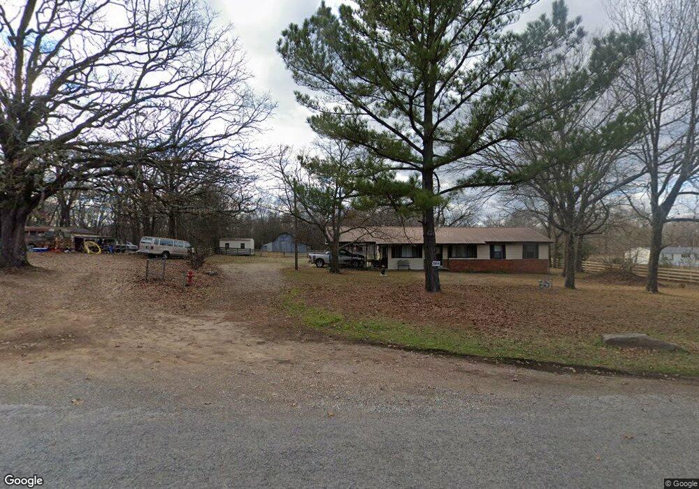
This home is located at 38691 Old Us Highway 59, Howe, OK 74940 and is currently estimated at $147,580, approximately $113 per square foot. 38691 Old Us Highway 59 is a home located in Le Flore County with nearby schools including Howe Elementary School and Howe High School.
Ownership History
Date
Name
Owned For
Owner Type
Purchase Details
Closed on
Jun 17, 2023
Sold by
Hoyer Kenneth
Bought by
Hoyer Kenneth and Hoyer Debra
Current Estimated Value
Purchase Details
Closed on
Jul 18, 2011
Sold by
First National Bank
Bought by
Hoyer Kenneth Kr and Hoyer Carle
Home Financials for this Owner
Home Financials are based on the most recent Mortgage that was taken out on this home.
Original Mortgage
$45,050
Interest Rate
4.55%
Mortgage Type
Future Advance Clause Open End Mortgage
Purchase Details
Closed on
Feb 15, 2011
Sold by
First National Bank
Bought by
Dodd James
Purchase Details
Closed on
Mar 28, 2005
Sold by
Renfro Joe Thaxton and Renfro Martha Jane
Bought by
Easton Aven A and Balley Donna K
Home Financials for this Owner
Home Financials are based on the most recent Mortgage that was taken out on this home.
Original Mortgage
$72,278
Interest Rate
5.67%
Mortgage Type
New Conventional
Create a Home Valuation Report for This Property
The Home Valuation Report is an in-depth analysis detailing your home's value as well as a comparison with similar homes in the area
Home Values in the Area
Average Home Value in this Area
Purchase History
| Date | Buyer | Sale Price | Title Company |
|---|---|---|---|
| Hoyer Kenneth | -- | None Listed On Document | |
| Hoyer Kenneth | -- | None Listed On Document | |
| Hoyer Kenneth Kr | $53,000 | None Available | |
| Dodd James | -- | -- | |
| Easton Aven A | $75,000 | -- |
Source: Public Records
Mortgage History
| Date | Status | Borrower | Loan Amount |
|---|---|---|---|
| Previous Owner | Hoyer Kenneth Kr | $45,050 | |
| Previous Owner | Easton Aven A | $72,278 |
Source: Public Records
Tax History Compared to Growth
Tax History
| Year | Tax Paid | Tax Assessment Tax Assessment Total Assessment is a certain percentage of the fair market value that is determined by local assessors to be the total taxable value of land and additions on the property. | Land | Improvement |
|---|---|---|---|---|
| 2025 | $832 | $10,101 | $2,153 | $7,948 |
| 2024 | $832 | $9,959 | $1,481 | $8,478 |
| 2023 | $832 | $9,161 | $1,481 | $7,680 |
| 2022 | $765 | $8,759 | $1,481 | $7,278 |
| 2021 | $776 | $8,915 | $1,481 | $7,434 |
| 2020 | $790 | $9,031 | $1,481 | $7,550 |
| 2019 | $848 | $9,673 | $1,481 | $8,192 |
| 2018 | $826 | $9,380 | $1,481 | $7,899 |
| 2017 | $847 | $9,612 | $1,481 | $8,131 |
| 2016 | $864 | $9,703 | $1,460 | $8,243 |
| 2015 | $848 | $9,241 | $1,438 | $7,803 |
| 2014 | $795 | $8,801 | $1,354 | $7,447 |
Source: Public Records
Map
Nearby Homes
- 20864 Luton Ln
- 21580 Ranch Rd
- TBD Old Us Highway 59
- TBD Smokey Ln
- 40834 Old Pike Rd
- 21707 Ivy St
- TBD Scenic View Dr
- 21703 Smokey Ln
- 39689 Texas Ave
- 0 Choctaw Ave
- 21406 6th St
- 21415 6th St
- 39767 Cedar Hills Cir
- 39897 Drury Ln
- 39767 Cedar Hill Cir
- 21686 Cedar Hill Dr
- 130 Nobles Rd
- 20678 Oklahoma 83
- 40501 210th Ave
- 0 Waymire Rd
- 309540 Walnut Ave
- 38496 Us Highway 59
- 21485 Ranch Rd
- 21684 Scenic View Dr
- 21683 Scenic View Dr
- 21505 Ranch Rd
- 20969 Birch Ave
- 21766 Scenic View Dr
- 21545 Ranch Rd
- 39095 Cedar St Unit 11
- 39095 Cedar St Unit 6
- 39095 Cedar St Unit 24
- 39095 Cedar St Unit 15
- 39095 Cedar St Unit 16
- 39095 Cedar St Unit 14
- 39064 Cedar St
- 39068 Cedar St Unit 11
- 39068 Cedar St Unit 10
- 39068 Cedar St Unit 9
- 39078 Cedar St Unit 6