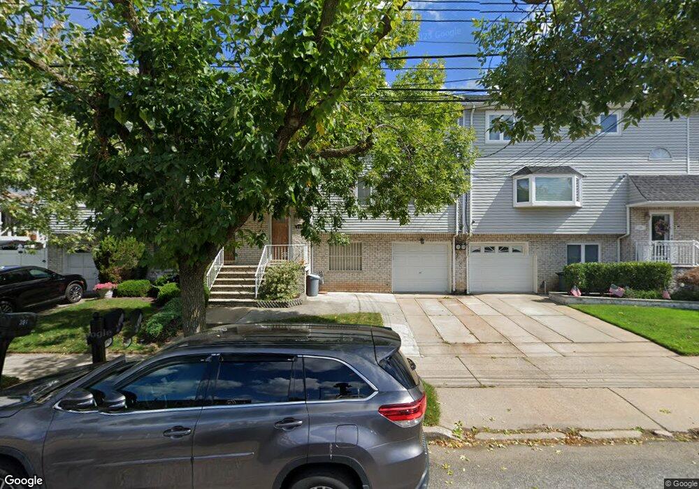
387 Abingdon Ave Staten Island, NY 10308
Great Kills NeighborhoodEstimated Value: $694,000 - $768,000
3
Beds
3
Baths
1,667
Sq Ft
$431/Sq Ft
Est. Value
About This Home
This home is located at 387 Abingdon Ave, Staten Island, NY 10308 and is currently estimated at $719,005, approximately $431 per square foot. 387 Abingdon Ave is a home located in Richmond County with nearby schools including P.S. 32 The Gifford School, I.S. 075 Frank D. Paulo, and Susan E Wagner High School.
Ownership History
Date
Name
Owned For
Owner Type
Purchase Details
Closed on
Aug 11, 2025
Sold by
Lam Koon Kin
Bought by
Lam Family Irrevocable Trust and Lam
Current Estimated Value
Purchase Details
Closed on
Oct 18, 2021
Sold by
Lam Yat Vong Ronald and Lam Gordan
Bought by
Lam Koon Kin
Purchase Details
Closed on
Feb 17, 2020
Sold by
Tam Tammy Lai Kuen Lam and Tam Lai Kuen
Bought by
Lam Vat Vong Ronald and Lam Gordan
Create a Home Valuation Report for This Property
The Home Valuation Report is an in-depth analysis detailing your home's value as well as a comparison with similar homes in the area
Home Values in the Area
Average Home Value in this Area
Purchase History
| Date | Buyer | Sale Price | Title Company |
|---|---|---|---|
| Lam Family Irrevocable Trust | -- | None Listed On Document | |
| Lam Koon Kin | -- | None Available | |
| Lam Vat Vong Ronald | -- | None Available |
Source: Public Records
Tax History Compared to Growth
Tax History
| Year | Tax Paid | Tax Assessment Tax Assessment Total Assessment is a certain percentage of the fair market value that is determined by local assessors to be the total taxable value of land and additions on the property. | Land | Improvement |
|---|---|---|---|---|
| 2025 | $2,976 | $40,140 | $4,696 | $35,444 |
| 2024 | $2,976 | $32,820 | $5,743 | $27,077 |
| 2023 | $2,954 | $29,411 | $5,231 | $24,180 |
| 2022 | $5,257 | $29,880 | $6,360 | $23,520 |
| 2021 | $5,509 | $27,840 | $6,360 | $21,480 |
| 2020 | $4,931 | $26,820 | $6,360 | $20,460 |
| 2019 | $4,873 | $25,620 | $6,360 | $19,260 |
| 2018 | $4,699 | $24,509 | $5,335 | $19,174 |
| 2017 | $4,414 | $23,122 | $5,963 | $17,159 |
| 2016 | $4,051 | $21,814 | $5,116 | $16,698 |
| 2015 | $3,645 | $20,580 | $5,280 | $15,300 |
| 2014 | $3,645 | $20,580 | $5,280 | $15,300 |
Source: Public Records
Map
Nearby Homes
- 350 Brookfield Ave
- 26 E Brandis Ave
- 379 Brookfield Ave
- 74 E Brandis Ave
- 339 Abingdon Ave
- 466 Doane Ave
- 919 Armstrong Ave
- 259 Brookfield Ave
- 307 Abingdon Ave
- 414 Elverton Ave
- 345 Colon Ave
- 72 Eric Ln
- 924 Armstrong Ave Unit 2-3
- 12 Lexington Ln
- 88 Cortelyou Ave
- 467 Ridgewood Ave
- 443 Ridgewood Ave
- 131 Cortelyou Ave Unit 1-1
- 87 Pemberton Ave
- 248 Abingdon Ave
- 385 Abingdon Ave
- 391 Abingdon Ave
- 381 Abingdon Ave
- 395 Abingdon Ave
- 342 Brookfield Ave
- 338 Brookfield Ave
- 344 Brookfield Ave
- 336 Brookfield Ave
- 379 Abingdon Ave
- 397 Abingdon Ave
- 332 Brookfield Ave
- 348 Brookfield Ave
- 330 Brookfield Ave
- 401 Abingdon Ave
- 377 Abingdon Ave
- 3 E Brandis Ave
- 326 Brookfield Ave
- 354 Brookfield Ave
- 2 E Brandis Ave
- 375 Abingdon Ave