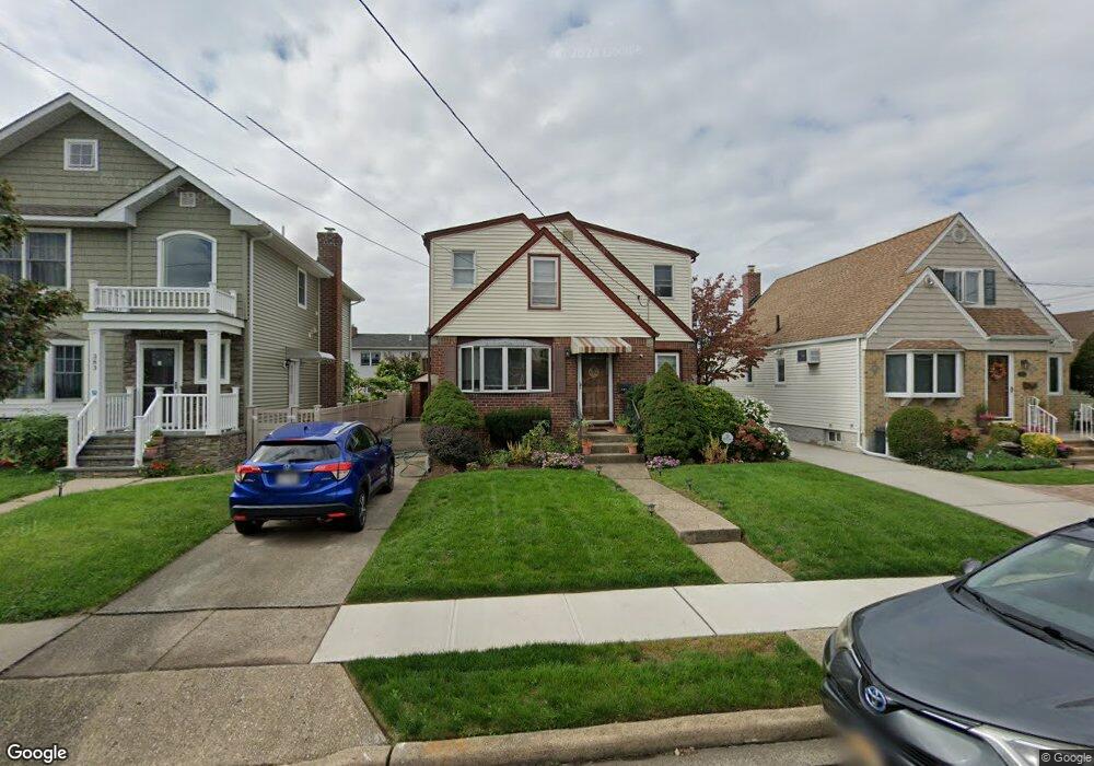
387 Andrews Rd Mineola, NY 11501
Estimated Value: $874,084 - $876,000
4
Beds
2
Baths
1,736
Sq Ft
$504/Sq Ft
Est. Value
About This Home
This home is located at 387 Andrews Rd, Mineola, NY 11501 and is currently estimated at $875,042, approximately $504 per square foot. 387 Andrews Rd is a home located in Nassau County with nearby schools including Jackson Avenue School, Mineola Middle School, and Mineola High School.
Ownership History
Date
Name
Owned For
Owner Type
Purchase Details
Closed on
Aug 26, 2016
Sold by
Sayeed Syed and Khan Shazia
Bought by
Gargi Kapil and Gargi Sangeeta
Current Estimated Value
Home Financials for this Owner
Home Financials are based on the most recent Mortgage that was taken out on this home.
Original Mortgage
$417,000
Outstanding Balance
$333,618
Interest Rate
3.48%
Mortgage Type
New Conventional
Estimated Equity
$541,424
Purchase Details
Closed on
Jan 4, 2011
Sold by
Reinhart John C
Bought by
Sayeed Syed and Sayeed Shazia
Home Financials for this Owner
Home Financials are based on the most recent Mortgage that was taken out on this home.
Original Mortgage
$348,800
Interest Rate
4.62%
Mortgage Type
Unknown
Create a Home Valuation Report for This Property
The Home Valuation Report is an in-depth analysis detailing your home's value as well as a comparison with similar homes in the area
Home Values in the Area
Average Home Value in this Area
Purchase History
| Date | Buyer | Sale Price | Title Company |
|---|---|---|---|
| Gargi Kapil | $541,500 | Stewart Title Insurance Comp | |
| Sayeed Syed | $436,000 | -- |
Source: Public Records
Mortgage History
| Date | Status | Borrower | Loan Amount |
|---|---|---|---|
| Open | Gargi Kapil | $417,000 | |
| Previous Owner | Sayeed Syed | $348,800 |
Source: Public Records
Tax History Compared to Growth
Tax History
| Year | Tax Paid | Tax Assessment Tax Assessment Total Assessment is a certain percentage of the fair market value that is determined by local assessors to be the total taxable value of land and additions on the property. | Land | Improvement |
|---|---|---|---|---|
| 2025 | $11,717 | $635 | $256 | $379 |
| 2024 | $2,550 | $635 | $256 | $379 |
| 2023 | $10,257 | $609 | $246 | $363 |
| 2022 | $10,257 | $635 | $256 | $379 |
| 2021 | $10,376 | $633 | $255 | $378 |
| 2020 | $10,138 | $742 | $650 | $92 |
| 2019 | $9,009 | $795 | $550 | $245 |
| 2018 | $9,203 | $1,006 | $0 | $0 |
| 2017 | $8,075 | $1,006 | $696 | $310 |
| 2016 | $10,480 | $1,006 | $696 | $310 |
| 2015 | $2,232 | $1,006 | $696 | $310 |
| 2014 | $2,232 | $1,006 | $696 | $310 |
| 2013 | $2,154 | $1,006 | $696 | $310 |
Source: Public Records
Map
Nearby Homes
- 424 Andrews Rd
- 437 Andrews Rd
- 453 Andrews Rd
- 452 Latham Rd
- 360 Foch Blvd
- 477 Emory Rd
- 452 MacAtee Place
- 470 Argyle Rd
- 456 MacAtee Place
- 338 Bauer Place
- 408 Wellington Rd
- 244 Andrews Rd
- 239 White Rd
- 372 Jackson Ave
- 466 Jefferson Place
- 311 Horton Hwy
- 596 Foch Blvd
- 331 Mineola Blvd
- 2 Yorkshire Rd
- 189 Meadowsweet Rd