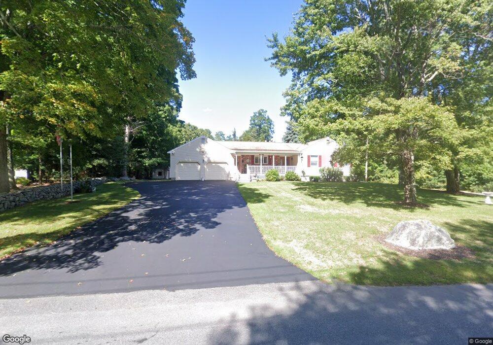
387 Burt St Taunton, MA 02780
Westville NeighborhoodEstimated Value: $535,000 - $599,000
3
Beds
3
Baths
1,580
Sq Ft
$361/Sq Ft
Est. Value
About This Home
This home is located at 387 Burt St, Taunton, MA 02780 and is currently estimated at $570,201, approximately $360 per square foot. 387 Burt St is a home located in Bristol County with nearby schools including Edmund Hatch Bennett School, Benjamin Friedman Middle School, and Taunton High School.
Ownership History
Date
Name
Owned For
Owner Type
Purchase Details
Closed on
Sep 22, 2010
Sold by
Medeiros Angelo and Medeiros Lois B
Bought by
Medeiros Tr Lois B and Medeiros Angelo
Current Estimated Value
Purchase Details
Closed on
Aug 1, 1986
Bought by
Medeiros Angelo and Medeiros Lois B
Create a Home Valuation Report for This Property
The Home Valuation Report is an in-depth analysis detailing your home's value as well as a comparison with similar homes in the area
Home Values in the Area
Average Home Value in this Area
Purchase History
| Date | Buyer | Sale Price | Title Company |
|---|---|---|---|
| Medeiros Tr Lois B | -- | -- | |
| Medeiros Angelo | $138,800 | -- |
Source: Public Records
Tax History Compared to Growth
Tax History
| Year | Tax Paid | Tax Assessment Tax Assessment Total Assessment is a certain percentage of the fair market value that is determined by local assessors to be the total taxable value of land and additions on the property. | Land | Improvement |
|---|---|---|---|---|
| 2025 | $5,808 | $530,900 | $129,500 | $401,400 |
| 2024 | $5,349 | $478,000 | $129,500 | $348,500 |
| 2023 | $5,195 | $431,100 | $129,500 | $301,600 |
| 2022 | $4,985 | $378,200 | $107,900 | $270,300 |
| 2021 | $4,846 | $341,300 | $98,100 | $243,200 |
| 2020 | $4,795 | $322,700 | $98,100 | $224,600 |
| 2019 | $0 | $308,500 | $100,100 | $208,400 |
| 2018 | $4,560 | $290,100 | $101,200 | $188,900 |
| 2017 | $0 | $262,800 | $95,900 | $166,900 |
| 2016 | $3,981 | $253,900 | $93,100 | $160,800 |
| 2015 | $3,862 | $257,300 | $95,800 | $161,500 |
| 2014 | $3,698 | $253,100 | $95,800 | $157,300 |
Source: Public Records
Map
Nearby Homes
- 70 Forest Hill Dr
- 1120 Glebe St
- 837 Glebe St
- 0 Kimberly Rd
- 805 Burt St
- 165 Andrea Ln
- 852 Burt St
- 0 Tremont St Unit 73249875
- 14 Tremont St
- 470 Hodges St
- 701 Winthrop St Unit 312
- 701 Winthrop St Unit 313
- Lot 6 Tremont St
- 52 Round Farm Rd
- 48 Round Farm Rd
- 1 Round Farm Rd
- 0 Range Ave Unit 72771508
- 0 Range Ave Unit 72771509
- 2 Round Farm Rd
- 10 1/2 Worcester St
- 367 Burt St
- 415 Burt St
- 421R Burt St
- 421 Burt St
- 421 Burt St Unit 1
- 373 Burt St
- 383 Burt St
- 350 Burt St
- 429 Burt St
- 103 James h Luther Dr
- 435 Burt St
- 116 James h Luther Dr
- 91 James h Luther Dr
- 91 James Luther Dr
- 320 Burt St
- 985 Glebe St
- 79 James h Luther Dr
- 463 Burt St
- 310 Burt St
- 104 James h Luther Dr