Estimated Value: $226,000 - $252,000
3
Beds
2
Baths
1,596
Sq Ft
$147/Sq Ft
Est. Value
About This Home
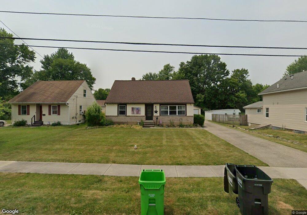
This home is located at 387 High St, Berea, OH 44017 and is currently estimated at $235,089, approximately $147 per square foot. 387 High St is a home located in Cuyahoga County with nearby schools including Grindstone Elementary School, Berea-Midpark Middle School, and Berea-Midpark High School.
Ownership History
Date
Name
Owned For
Owner Type
Purchase Details
Closed on
Sep 6, 1991
Sold by
Barabach Stephan A
Bought by
Moviel Mark
Current Estimated Value
Purchase Details
Closed on
Mar 31, 1989
Bought by
Barabach Stephan A
Purchase Details
Closed on
Jul 15, 1988
Sold by
Mahoney Martin D and Mahoney Diana L
Bought by
Administrator Of Vet Affairs
Purchase Details
Closed on
Mar 25, 1983
Bought by
Mahoney Martin D and Mahoney Diana L
Purchase Details
Closed on
May 26, 1981
Sold by
Benline Eugene L and Benline Denise
Bought by
Admr Of Veterans Affairs
Purchase Details
Closed on
Dec 20, 1978
Sold by
Roger P Forster
Bought by
Benline Eugene L and Benline Denise
Purchase Details
Closed on
Mar 1, 1978
Sold by
Forster Roger P
Bought by
Roger P Forster
Purchase Details
Closed on
May 17, 1977
Bought by
Forster Roger P
Purchase Details
Closed on
Jan 1, 1975
Bought by
F W C Corp
Create a Home Valuation Report for This Property
The Home Valuation Report is an in-depth analysis detailing your home's value as well as a comparison with similar homes in the area
Home Values in the Area
Average Home Value in this Area
Purchase History
| Date | Buyer | Sale Price | Title Company |
|---|---|---|---|
| Moviel Mark | $74,000 | -- | |
| Barabach Stephan A | -- | -- | |
| Administrator Of Vet Affairs | -- | -- | |
| Mahoney Martin D | -- | -- | |
| Admr Of Veterans Affairs | -- | -- | |
| Benline Eugene L | $51,500 | -- | |
| Roger P Forster | -- | -- | |
| Forster Roger P | $4,500 | -- | |
| F W C Corp | -- | -- |
Source: Public Records
Tax History
| Year | Tax Paid | Tax Assessment Tax Assessment Total Assessment is a certain percentage of the fair market value that is determined by local assessors to be the total taxable value of land and additions on the property. | Land | Improvement |
|---|---|---|---|---|
| 2024 | $4,814 | $62,300 | $14,630 | $47,670 |
| 2023 | $5,080 | $56,250 | $14,950 | $41,300 |
| 2022 | $4,996 | $56,250 | $14,950 | $41,300 |
| 2021 | $5,115 | $56,250 | $14,950 | $41,300 |
| 2020 | $5,061 | $47,670 | $12,670 | $35,000 |
| 2019 | $4,956 | $136,200 | $36,200 | $100,000 |
| 2018 | $4,160 | $47,670 | $12,670 | $35,000 |
| 2017 | $3,125 | $39,060 | $8,610 | $30,450 |
| 2016 | $3,773 | $39,060 | $8,610 | $30,450 |
| 2015 | $3,052 | $39,060 | $8,610 | $30,450 |
| 2014 | $3,052 | $40,670 | $8,960 | $31,710 |
Source: Public Records
Map
Nearby Homes
- 445 Berea St
- 93 W 5th Ave
- 487 Karen Dr
- 41 W 5th Ave
- 146 Marian Ln
- 211 W Bridge St
- 160 Marian Ln Unit 6A
- 56 3rd Ave
- 209 Gibson St
- 725 Shakespeare Dr
- 216 Kraft St
- 428 Park Place
- 47 Prospect St
- 57 Riverside Dr
- 404 Crescent Dr
- 379 Laurel Dr
- 300 West St
- 287 Edgewood Dr
- 628 Lindbergh Blvd
- 0 E Bagley Rd Unit 5111166
Your Personal Tour Guide
Ask me questions while you tour the home.