387 NW Lofall Rd Poulsbo, WA 98370
Lofall NeighborhoodEstimated Value: $716,271 - $983,000
4
Beds
3
Baths
2,254
Sq Ft
$360/Sq Ft
Est. Value
About This Home
This home is located at 387 NW Lofall Rd, Poulsbo, WA 98370 and is currently estimated at $810,568, approximately $359 per square foot. 387 NW Lofall Rd is a home located in Kitsap County with nearby schools including Vinland Elementary School, Poulsbo Middle School, and North Kitsap High School.
Ownership History
Date
Name
Owned For
Owner Type
Purchase Details
Closed on
Oct 24, 1994
Sold by
North Pacific Development Corp
Bought by
Grenier Alan N and Grenier Michelle K
Current Estimated Value
Home Financials for this Owner
Home Financials are based on the most recent Mortgage that was taken out on this home.
Original Mortgage
$83,900
Interest Rate
8.7%
Create a Home Valuation Report for This Property
The Home Valuation Report is an in-depth analysis detailing your home's value as well as a comparison with similar homes in the area
Home Values in the Area
Average Home Value in this Area
Purchase History
| Date | Buyer | Sale Price | Title Company |
|---|---|---|---|
| Grenier Alan N | $173,900 | Stewart Title Co |
Source: Public Records
Mortgage History
| Date | Status | Borrower | Loan Amount |
|---|---|---|---|
| Closed | Grenier Alan N | $83,900 |
Source: Public Records
Tax History Compared to Growth
Tax History
| Year | Tax Paid | Tax Assessment Tax Assessment Total Assessment is a certain percentage of the fair market value that is determined by local assessors to be the total taxable value of land and additions on the property. | Land | Improvement |
|---|---|---|---|---|
| 2026 | $5,495 | $617,900 | $160,680 | $457,220 |
| 2025 | $5,495 | $617,900 | $160,680 | $457,220 |
| 2024 | $5,334 | $619,740 | $132,690 | $487,050 |
| 2023 | $5,421 | $619,740 | $132,690 | $487,050 |
| 2022 | $4,687 | $507,840 | $110,290 | $397,550 |
| 2021 | $4,456 | $446,180 | $96,500 | $349,680 |
| 2020 | $4,311 | $425,220 | $92,200 | $333,020 |
| 2019 | $4,052 | $398,370 | $86,160 | $312,210 |
| 2018 | $4,173 | $351,220 | $118,460 | $232,760 |
| 2017 | $3,996 | $351,220 | $118,460 | $232,760 |
| 2016 | $4,014 | $324,810 | $118,460 | $206,350 |
| 2015 | $3,769 | $306,650 | $118,460 | $188,190 |
| 2014 | -- | $296,750 | $118,460 | $178,290 |
| 2013 | -- | $296,750 | $118,460 | $178,290 |
Source: Public Records
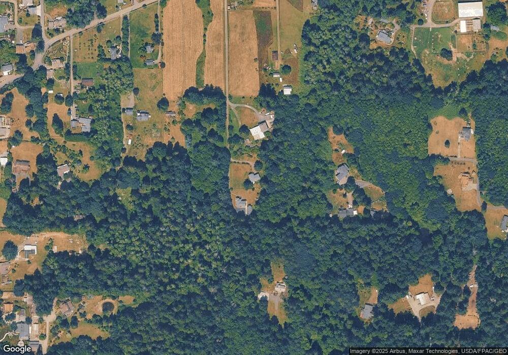
Map
Nearby Homes
- 27405 Lofall Ct NW
- 26654 NW Lofall Rd
- 2 XXX NW Park St
- 0 XXX Sanderling Place NE
- 0 State Hwy 3 NE Unit NWM2410405
- 1799 NW Mulholland Blvd
- 26495 NW Edgewater Blvd
- 27272 Big Valley Rd NE
- 1918 NW Russell St
- 1841 NW Russell St
- 28389 State Highway 3 NE
- 28393 State Hwy 3 NE
- 23490 Marinwood Cir NE Unit 1212
- 25749 Pyramid Ln NW
- 1881 NW Seclusion Cove Way
- 25443 Pioneer Way NW
- 1870 NW Vaa Rd
- 29191 Scenic Dr NE
- 29722 State Highway 3 NE
- 23607 Coburg Place NW
- 401 NW Lofall Rd
- 365 NW Lofall Rd
- 465 NW Lofall Rd
- 365 NW Lofall Rd
- 27237 State Highway 3 NW
- 27255 State Highway 3 NE
- 27255 State Highway 3 NW
- 27237 State Highway 3 NE
- 509 NW Lofall Rd
- 26611 State Highway 3 NW
- 341 NW Lofall Rd
- 575 NW Lofall Rd
- 27219 State Highway 3 NE
- 27219 State Highway 3 NE
- 27273 State Highway 3 NE
- 547 NW Lofall Rd
- 26627 State Highway 3 NE
- 655 NW Lofall Rd
- 347 NW Lofall Rd
- 601 NW Lofall Rd