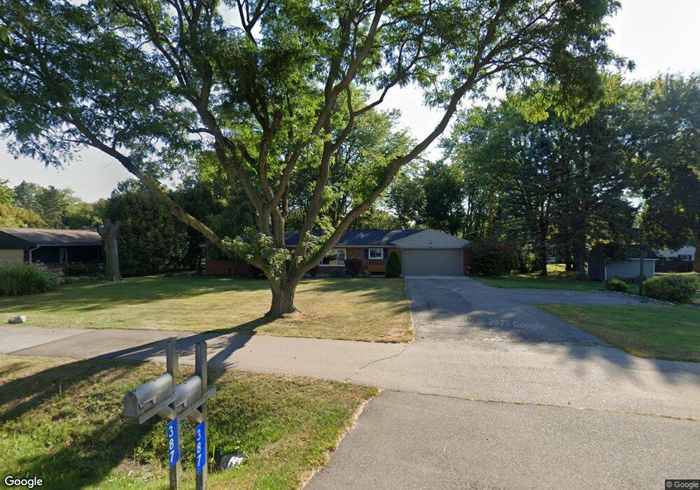
387 Old Perch Rd Rochester Hills, MI 48309
Estimated Value: $343,434 - $384,000
3
Beds
2
Baths
1,695
Sq Ft
$214/Sq Ft
Est. Value
About This Home
This home is located at 387 Old Perch Rd, Rochester Hills, MI 48309 and is currently estimated at $363,109, approximately $214 per square foot. 387 Old Perch Rd is a home located in Oakland County with nearby schools including University Hills Elementary School, West Middle School, and Rochester High School.
Ownership History
Date
Name
Owned For
Owner Type
Purchase Details
Closed on
Sep 14, 2012
Sold by
Denhardt Michael G and Denhardt Julie
Bought by
Denhardt Michael G and Denhardt Julie
Current Estimated Value
Home Financials for this Owner
Home Financials are based on the most recent Mortgage that was taken out on this home.
Original Mortgage
$107,600
Outstanding Balance
$75,499
Interest Rate
3.87%
Mortgage Type
FHA
Estimated Equity
$287,610
Purchase Details
Closed on
Sep 23, 2008
Sold by
Fischer Sherry L and Abn Amro Mortgage Group Inc
Bought by
Federal Home Loan Mortgage Corporation
Purchase Details
Closed on
Jul 9, 2008
Sold by
Cristini John
Bought by
Cristini Sherry
Purchase Details
Closed on
Nov 8, 2005
Sold by
Cristini Sherry L
Bought by
Cristini John and Cristini Shery
Create a Home Valuation Report for This Property
The Home Valuation Report is an in-depth analysis detailing your home's value as well as a comparison with similar homes in the area
Home Values in the Area
Average Home Value in this Area
Purchase History
| Date | Buyer | Sale Price | Title Company |
|---|---|---|---|
| Denhardt Michael G | -- | Title Source Inc | |
| Denhardt Michael G | -- | Title Source Inc | |
| Federal Home Loan Mortgage Corporation | $139,387 | None Available | |
| Cristini Sherry | -- | None Available | |
| Cristini John | -- | None Available |
Source: Public Records
Mortgage History
| Date | Status | Borrower | Loan Amount |
|---|---|---|---|
| Open | Denhardt Michael G | $107,600 | |
| Closed | Denhardt Michael G | $107,600 |
Source: Public Records
Tax History Compared to Growth
Tax History
| Year | Tax Paid | Tax Assessment Tax Assessment Total Assessment is a certain percentage of the fair market value that is determined by local assessors to be the total taxable value of land and additions on the property. | Land | Improvement |
|---|---|---|---|---|
| 2022 | $1,280 | $117,900 | $0 | $0 |
| 2018 | $2,120 | $99,820 | $0 | $0 |
| 2017 | $2,079 | $98,070 | $0 | $0 |
| 2015 | -- | $88,360 | $0 | $0 |
| 2014 | -- | $77,380 | $0 | $0 |
| 2011 | -- | $69,090 | $0 | $0 |
Source: Public Records
Map
Nearby Homes
- 2072 Belle Vernon Dr
- 2152 Avoncrest Dr
- 123 Longford Dr
- 100 Longford Dr
- 626 Wilwood Rd
- 147 Stratford Ln Unit 129
- 1665 Huntington Park Unit E
- 51 Manor Way Unit 30
- 2247 Walton Blvd Unit 46
- 2245 Walton Blvd Unit 58
- 650 Longford Dr
- 110 Stratford Ln
- 2377 Walton Blvd Unit 15
- 2222 Walton Blvd
- 65 Stratford Ln
- 73 Nevada Ave
- 126 Orchardale Dr
- 87 E Maryknoll Rd
- 184 Shagbark Dr
- 2771 Hillendale Dr
- 367 Old Perch Rd
- 1984 Ansal Dr
- 1956 Ansal Dr
- 386 Wimpole Dr
- 347 Old Perch Rd
- 366 Wimpole Dr
- 1920 Ansal Dr
- 327 Old Perch Rd
- 2011 Belle Vernon Dr
- 346 Wimpole Dr
- 2027 Belle Vernon Dr
- 1981 Ansal Dr
- 1957 Ansal Dr
- 326 Wimpole Dr
- 307 Old Perch Rd
- 2043 Belle Vernon Dr
- 314 Old Perch Rd
- 1919 Ansal Dr
- 395 Wimpole Dr
- 457 Old Perch Rd