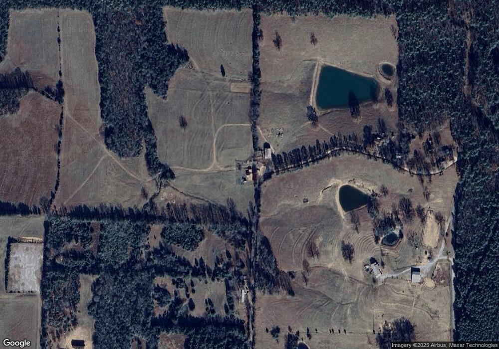
387 Omaha Rd Shirley, AR 72153
Estimated Value: $78,065 - $187,000
--
Bed
2
Baths
1,396
Sq Ft
$92/Sq Ft
Est. Value
About This Home
This home is located at 387 Omaha Rd, Shirley, AR 72153 and is currently estimated at $129,016, approximately $92 per square foot. 387 Omaha Rd is a home located in Van Buren County with nearby schools including Shirley Elementary School and Shirley High School.
Ownership History
Date
Name
Owned For
Owner Type
Purchase Details
Closed on
Mar 7, 2022
Sold by
Brown and Buddy
Bought by
Lockard Aubrey
Current Estimated Value
Home Financials for this Owner
Home Financials are based on the most recent Mortgage that was taken out on this home.
Original Mortgage
$77,777
Outstanding Balance
$72,669
Interest Rate
3.92%
Mortgage Type
New Conventional
Estimated Equity
$56,347
Purchase Details
Closed on
Jan 15, 2004
Bought by
Rosa Lou Berry
Purchase Details
Closed on
Jan 22, 1996
Bought by
Brown
Create a Home Valuation Report for This Property
The Home Valuation Report is an in-depth analysis detailing your home's value as well as a comparison with similar homes in the area
Home Values in the Area
Average Home Value in this Area
Purchase History
| Date | Buyer | Sale Price | Title Company |
|---|---|---|---|
| Lockard Aubrey | $76,594 | Aldworth John C | |
| Rosa Lou Berry | -- | -- | |
| Brown | -- | -- |
Source: Public Records
Mortgage History
| Date | Status | Borrower | Loan Amount |
|---|---|---|---|
| Open | Lockard Aubrey | $77,777 |
Source: Public Records
Tax History Compared to Growth
Tax History
| Year | Tax Paid | Tax Assessment Tax Assessment Total Assessment is a certain percentage of the fair market value that is determined by local assessors to be the total taxable value of land and additions on the property. | Land | Improvement |
|---|---|---|---|---|
| 2024 | $366 | $11,150 | $380 | $10,770 |
| 2023 | $416 | $11,150 | $380 | $10,770 |
| 2022 | $416 | $11,150 | $380 | $10,770 |
| 2021 | $389 | $11,150 | $380 | $10,770 |
| 2020 | $360 | $11,150 | $380 | $10,770 |
| 2019 | $51 | $10,110 | $380 | $9,730 |
| 2018 | $25 | $10,110 | $380 | $9,730 |
| 2017 | $279 | $10,110 | $380 | $9,730 |
| 2015 | -- | $6,580 | $380 | $6,200 |
| 2014 | -- | $6,580 | $380 | $6,200 |
| 2013 | -- | $6,580 | $380 | $6,200 |
Source: Public Records
Map
Nearby Homes
- 730 Water Tower Dr
- 450 Raven Ln
- 000 the New Rd
- 459 Mountain Ranch Dr
- 0 Corner of Hwy 330 & New Rd Unit 24045954
- 117 Mountain Ranch Spur
- 0 Corner of Hwy 330 S and Garner Ln Unit 24045956
- 000 Mountain Ranch Dr Dr
- 373 Rachael Dr
- Lots 18-22 the Greens Dr
- 102 Fireside Ln
- 27.46 Acres Highway 330 S
- 27.46 Highway 330 S
- lot 95 Mountain Ranch Dr
- 0000 Mountain Ranch Dr
- Lot 12, Block 2 Mountain Ranch Dr
- 000 Mountain Ranch Dr
- Lot 38R Block 3 Mountain Ranch Dr
- Lot 152 Mountain Ranch Dr
- 547 Omaha Rd
- 547 Omaha Rd
- 397 Omaha Rd
- 225 Omaha Rd
- 4727 Banner Mountain Rd
- 4729 Banner Mountain Rd
- 641 Omaha Rd
- 4471 Banner Mountain Rd
- 4060 Banner Mountain Rd
- 4004 Banner Mountain Rd
- 4550 Banner Mountain Rd
- 2354 Overton Rd
- 2198 Silver Rock Rd
- 2386 Overton Rd
- 1587 Silver Rock Rd
- 3739 Banner Mountain Rd
- 831 Lace Ln
- 2285 Overton Rd
- 5305 Banner Mountain Rd
- 0 Banner Mt Rd Unit 15034703
