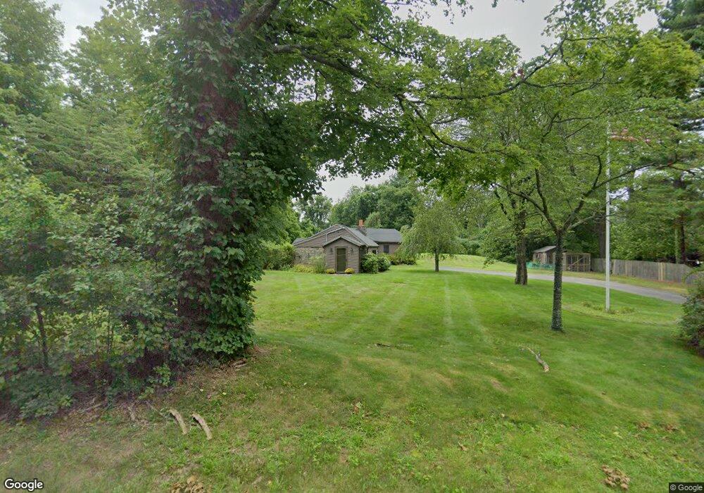
387 York St Unit 1 Canton, MA 02021
Estimated Value: $767,000 - $922,000
3
Beds
2
Baths
2,025
Sq Ft
$420/Sq Ft
Est. Value
About This Home
This home is located at 387 York St Unit 1, Canton, MA 02021 and is currently estimated at $849,913, approximately $419 per square foot. 387 York St Unit 1 is a home located in Norfolk County.
Ownership History
Date
Name
Owned For
Owner Type
Purchase Details
Closed on
Sep 21, 2000
Sold by
Rose Frances A
Bought by
Leblanc Alfred C
Current Estimated Value
Home Financials for this Owner
Home Financials are based on the most recent Mortgage that was taken out on this home.
Original Mortgage
$175,000
Interest Rate
8%
Mortgage Type
Purchase Money Mortgage
Create a Home Valuation Report for This Property
The Home Valuation Report is an in-depth analysis detailing your home's value as well as a comparison with similar homes in the area
Home Values in the Area
Average Home Value in this Area
Purchase History
| Date | Buyer | Sale Price | Title Company |
|---|---|---|---|
| Leblanc Alfred C | $175,000 | -- |
Source: Public Records
Mortgage History
| Date | Status | Borrower | Loan Amount |
|---|---|---|---|
| Open | Leblanc Alfred C | $181,329 | |
| Closed | Leblanc Alfred C | $175,000 |
Source: Public Records
Tax History Compared to Growth
Tax History
| Year | Tax Paid | Tax Assessment Tax Assessment Total Assessment is a certain percentage of the fair market value that is determined by local assessors to be the total taxable value of land and additions on the property. | Land | Improvement |
|---|---|---|---|---|
| 2025 | $7,261 | $734,200 | $315,600 | $418,600 |
| 2024 | $7,092 | $711,300 | $303,500 | $407,800 |
| 2023 | $6,545 | $619,200 | $303,500 | $315,700 |
| 2022 | $6,339 | $558,500 | $289,000 | $269,500 |
| 2021 | $6,212 | $509,200 | $262,700 | $246,500 |
| 2020 | $5,935 | $485,300 | $250,200 | $235,100 |
| 2019 | $5,847 | $471,500 | $227,400 | $244,100 |
| 2018 | $5,670 | $456,500 | $218,700 | $237,800 |
| 2017 | $5,764 | $450,700 | $214,400 | $236,300 |
| 2016 | $5,628 | $440,000 | $209,200 | $230,800 |
| 2015 | $5,487 | $428,000 | $203,100 | $224,900 |
Source: Public Records
Map
Nearby Homes
- 11 Ledgewood Dr
- 50 Indian Ln
- 106 Indian Ln
- 3 Spotted Turtle Path Unit 24-2
- 30 Manitou Rd
- 43 Ledgebrook Ave
- 888 Turnpike St
- 545 Page St Unit 208
- 280 Deady Ave
- 15 Kensington Dr
- 68 High St
- 79 Gold St
- Lot 2 Pondview Ln
- Lot 1 Pondview Ln
- 33 Kelly Way Unit 33
- 14 Iris Ct Unit 14
- 98 Glen Echo Blvd
- 0 Washington St Unit 72888098
- 0 Washington St Unit 71897113
- 43 Emily Jeffers Rd