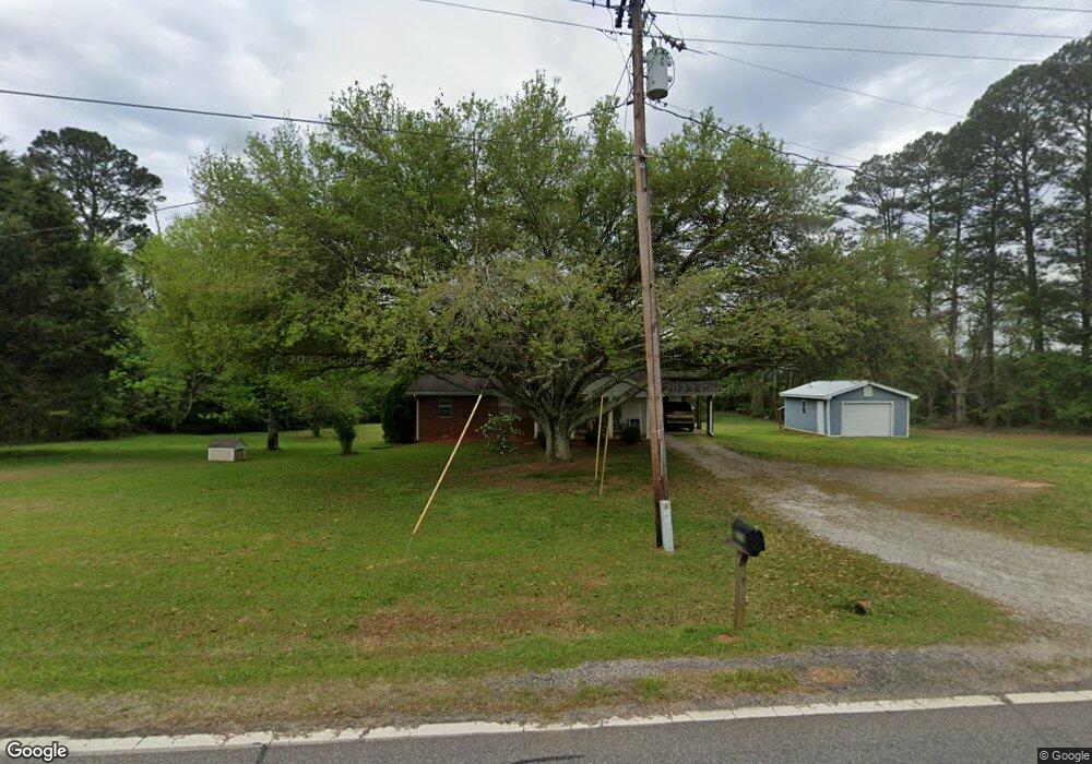
3870 Colham Ferry Rd Watkinsville, GA 30677
Estimated Value: $185,297 - $350,000
--
Bed
--
Bath
1,018
Sq Ft
$292/Sq Ft
Est. Value
About This Home
This home is located at 3870 Colham Ferry Rd, Watkinsville, GA 30677 and is currently estimated at $297,324, approximately $292 per square foot. 3870 Colham Ferry Rd is a home located in Oconee County with nearby schools including Colham Ferry Elementary School, Oconee County Middle School, and Oconee County High School.
Ownership History
Date
Name
Owned For
Owner Type
Purchase Details
Closed on
Apr 12, 2006
Sold by
Not Provided
Bought by
Bradshaw Mary E and Bradshaw Raymond E
Current Estimated Value
Home Financials for this Owner
Home Financials are based on the most recent Mortgage that was taken out on this home.
Original Mortgage
$108,750
Outstanding Balance
$62,314
Interest Rate
6.31%
Mortgage Type
New Conventional
Estimated Equity
$235,010
Purchase Details
Closed on
Jun 24, 2005
Sold by
Bradshaw Raymond E
Bought by
Bradshaw Mary E
Home Financials for this Owner
Home Financials are based on the most recent Mortgage that was taken out on this home.
Original Mortgage
$104,000
Interest Rate
5.88%
Mortgage Type
New Conventional
Create a Home Valuation Report for This Property
The Home Valuation Report is an in-depth analysis detailing your home's value as well as a comparison with similar homes in the area
Home Values in the Area
Average Home Value in this Area
Purchase History
| Date | Buyer | Sale Price | Title Company |
|---|---|---|---|
| Bradshaw Mary E | -- | -- | |
| Bradshaw Mary E | -- | -- |
Source: Public Records
Mortgage History
| Date | Status | Borrower | Loan Amount |
|---|---|---|---|
| Open | Bradshaw Mary E | $108,750 | |
| Previous Owner | Bradshaw Mary E | $104,000 |
Source: Public Records
Tax History Compared to Growth
Tax History
| Year | Tax Paid | Tax Assessment Tax Assessment Total Assessment is a certain percentage of the fair market value that is determined by local assessors to be the total taxable value of land and additions on the property. | Land | Improvement |
|---|---|---|---|---|
| 2024 | $55 | $65,123 | $19,870 | $45,253 |
| 2023 | $55 | $60,068 | $17,584 | $42,484 |
| 2022 | $54 | $51,592 | $15,291 | $36,301 |
| 2021 | $57 | $45,781 | $13,296 | $32,485 |
| 2020 | $57 | $42,894 | $12,663 | $30,231 |
| 2019 | $46 | $42,123 | $12,663 | $29,460 |
| 2018 | $41 | $34,507 | $10,130 | $24,377 |
| 2017 | $41 | $31,683 | $9,294 | $22,389 |
| 2016 | $41 | $30,811 | $8,851 | $21,960 |
| 2015 | $23 | $30,271 | $8,851 | $21,420 |
| 2014 | $504 | $28,505 | $8,042 | $20,463 |
| 2013 | -- | $27,435 | $7,978 | $19,457 |
Source: Public Records
Map
Nearby Homes
- 0 Marshall Store Rd Unit 10557012
- 0 Marshall Store Rd Unit 7609243
- 1800 Elder Mill Rd
- 1491 Saxon Rd
- 1990 Elder Mill Rd
- 3471 Macon Hwy
- 2750 Colham Ferry Rd
- 2223 Salem Rd
- 1550 Salem Rd
- 0 Old Salem Unit 10627903
- 0 Old Salem Unit CL341466
- 3521 Macon Hwy
- 0 Veterans Memorial Pkwy Unit 1025701
- 0 Veterans Memorial Pkwy Unit 10517571
- 2180 Veterans Memorial Pkwy
- 0 J T Elder Rd Unit 7371576
- 0 J T Elder Rd Unit 20179463
- 2812 Astondale Rd
- 3900 Colham Ferry Rd
- 3871 Colham Ferry Rd
- 3850 Colham Ferry Rd
- 3931 Colham Ferry Rd
- 3820 Colham Ferry Rd
- 3991 Colham Ferry Rd
- 2261 Mayne Mill Rd
- 1211 Coventry Rd
- 2221 Mayne Mill Rd
- 4040 Colham Ferry Rd
- 4025 Colham Ferry Rd
- 2201 Mayne Mill Rd
- 1161 Coventry Rd
- 1221 Coventry Rd
- 2151 Mayne Mill Rd
- 4071 Colham Ferry Rd
- 1115 Coventry Rd
- 1111 Coventry Rd
- 2140 Mayne Mill Rd
- 1231 Coventry Rd