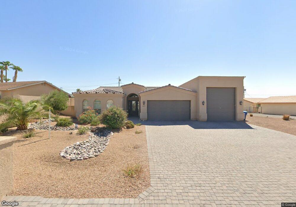
3870 Sloop Dr Lake Havasu City, AZ 86406
Estimated Value: $806,000 - $908,078
--
Bed
--
Bath
2,090
Sq Ft
$408/Sq Ft
Est. Value
About This Home
This home is located at 3870 Sloop Dr, Lake Havasu City, AZ 86406 and is currently estimated at $852,020, approximately $407 per square foot. 3870 Sloop Dr is a home located in Mohave County with nearby schools including Jamaica Elementary School, Thunderbolt Middle School, and Lake Havasu High School.
Ownership History
Date
Name
Owned For
Owner Type
Purchase Details
Closed on
Nov 12, 2012
Sold by
Mcbride Larry L and Mcbride Anne M
Bought by
Burns Michael J and Burns Gail L
Current Estimated Value
Purchase Details
Closed on
Nov 25, 2008
Sold by
Mcbride Jayson L and Mcbride Elizabeth A
Bought by
Mcbride Larry L and Mcbride Anne M
Purchase Details
Closed on
Nov 12, 2005
Sold by
Kennerley Dorothy Ruth
Bought by
Mcbride Jayson L and Mcbride Elizabeth A
Create a Home Valuation Report for This Property
The Home Valuation Report is an in-depth analysis detailing your home's value as well as a comparison with similar homes in the area
Home Values in the Area
Average Home Value in this Area
Purchase History
| Date | Buyer | Sale Price | Title Company |
|---|---|---|---|
| Burns Michael J | $77,000 | Chicago Title Agency Inc | |
| Mcbride Larry L | -- | None Available | |
| Mcbride Jayson L | $149,000 | First American Title Ins Co |
Source: Public Records
Tax History Compared to Growth
Tax History
| Year | Tax Paid | Tax Assessment Tax Assessment Total Assessment is a certain percentage of the fair market value that is determined by local assessors to be the total taxable value of land and additions on the property. | Land | Improvement |
|---|---|---|---|---|
| 2026 | $1,590 | -- | -- | -- |
| 2025 | $3,230 | $75,290 | $0 | $0 |
| 2024 | $3,230 | $75,528 | $0 | $0 |
| 2023 | $3,230 | $69,104 | $0 | $0 |
| 2022 | $3,066 | $55,162 | $0 | $0 |
| 2021 | $3,283 | $49,909 | $0 | $0 |
| 2019 | $3,086 | $45,136 | $0 | $0 |
| 2018 | $3,551 | $42,212 | $0 | $0 |
| 2017 | $887 | $9,869 | $0 | $0 |
| 2016 | $810 | $8,274 | $0 | $0 |
| 2015 | $822 | $7,844 | $0 | $0 |
Source: Public Records
Map
Nearby Homes
- 3873 Packard Place
- 3883 Sloop Dr
- 3812 Yonder Dr
- 3828 Cherry Tree Blvd
- 3856 Mission Dr N
- 3751 Mission Dr S
- 3808 Whaler Dr
- 3852 Solar Dr
- 3956 Cherry Tree Blvd
- 4019 Black Hill Dr
- 3937 Comet Dr
- 361 Mcculloch Blvd S
- 3665 Pelican Place
- 4051 Northstar Dr
- 3830 Bluegrass Dr
- 386 Mcculloch Blvd S
- 4019 Bluegrass Dr
- 3781 Bluegrass Dr
- 4014 Cherry Tree Blvd
- 3770 Bluegrass Dr
- 3870 Sloop Dr
- 3874 Sloop Dr
- 3864 Sloop Dr
- 3865 Packard Place
- 3878 Sloop Dr
- 3863 Packard Place
- 3867 Packard Place
- 3860 Sloop Dr
- 3869 Sloop Dr
- 3875 Sloop Dr
- 3875 Sloop Dr
- 3882 Sloop Dr
- 3861 Packard Place
- 3869 Packard Place
- 3861 Sloop Dr
- 3886 Sloop Dr
- 3879 Packard Place
- 3877 Packard Place
- 3881 Packard Place
- 3875 Packard Place