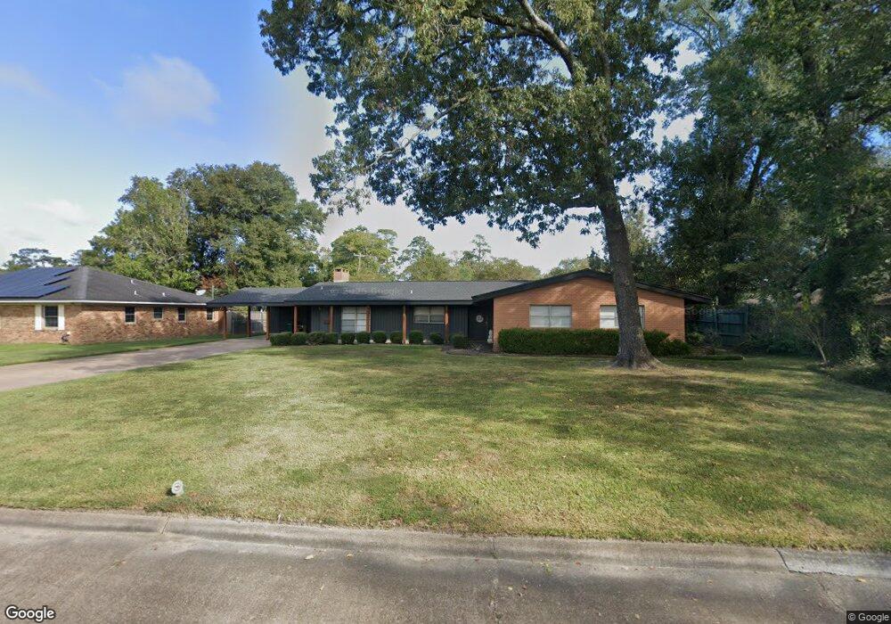
3870 Wheat Dr Unit Showing Time: 713-97 Beaumont, TX 77706
West End NeighborhoodEstimated Value: $248,000 - $279,000
--
Bed
2
Baths
2,290
Sq Ft
$116/Sq Ft
Est. Value
About This Home
This home is located at 3870 Wheat Dr Unit Showing Time: 713-97, Beaumont, TX 77706 and is currently estimated at $265,000, approximately $115 per square foot. 3870 Wheat Dr Unit Showing Time: 713-97 is a home located in Jefferson County with nearby schools including Regina Howell Elementary School, Marshall Middle School, and West Brook Sr High School.
Ownership History
Date
Name
Owned For
Owner Type
Purchase Details
Closed on
Nov 30, 2018
Sold by
Walker James and Walker Janet M
Bought by
Farrell Ryan T and Farrell Lynned P
Current Estimated Value
Home Financials for this Owner
Home Financials are based on the most recent Mortgage that was taken out on this home.
Original Mortgage
$162,400
Outstanding Balance
$143,078
Interest Rate
4.8%
Mortgage Type
Purchase Money Mortgage
Estimated Equity
$121,922
Create a Home Valuation Report for This Property
The Home Valuation Report is an in-depth analysis detailing your home's value as well as a comparison with similar homes in the area
Home Values in the Area
Average Home Value in this Area
Purchase History
| Date | Buyer | Sale Price | Title Company |
|---|---|---|---|
| Farrell Ryan T | -- | None Available |
Source: Public Records
Mortgage History
| Date | Status | Borrower | Loan Amount |
|---|---|---|---|
| Open | Farrell Ryan T | $162,400 |
Source: Public Records
Tax History Compared to Growth
Tax History
| Year | Tax Paid | Tax Assessment Tax Assessment Total Assessment is a certain percentage of the fair market value that is determined by local assessors to be the total taxable value of land and additions on the property. | Land | Improvement |
|---|---|---|---|---|
| 2025 | $4,978 | $285,992 | $38,955 | $247,037 |
| 2024 | $4,978 | $272,235 | -- | -- |
| 2023 | $4,978 | $247,486 | $38,955 | $208,531 |
| 2022 | $6,157 | $235,597 | $0 | $0 |
| 2021 | $5,815 | $231,570 | $38,955 | $192,615 |
| 2020 | $4,676 | $194,708 | $38,955 | $155,753 |
| 2019 | $4,556 | $189,350 | $38,960 | $150,390 |
| 2018 | $2,867 | $167,870 | $38,960 | $128,910 |
| 2017 | $2,821 | $167,870 | $38,960 | $128,910 |
| 2016 | $4,479 | $162,910 | $38,960 | $123,950 |
| 2015 | $2,870 | $157,950 | $38,960 | $118,990 |
| 2014 | $2,870 | $162,910 | $38,960 | $123,950 |
Source: Public Records
Map
Nearby Homes
- 1945 N 23rd St
- 2110 Central Dr
- 3725 Wheat Dr
- 1630 Central Dr
- 1520 Crawford St
- 1510 Crawford St
- 2328 Briarcliff Dr
- 3525 Lazy Ln
- 1950 Driskill St
- 3690 Brentwood Dr
- 1285 19th St
- 3435 Kenwood Dr
- 1492 Thomas Rd
- 1220 Sandwood Ln
- 1240 Oakcrest Cir
- 14 Sandelwood Trail
- 1090 20th St
- 4685 Ebonwood Ln
- 120 Summerwood St
- 995 N 23rd St
- 3870 Wheat Dr
- 3890 Wheat Dr
- 3850 Wheat Dr
- 3850 Queens Row
- 3875 Wheat Dr
- 3885 Wheat Dr
- 3885 Wheat Dr Unit NO MORE SHOWINGS
- 3855 Wheat Dr
- 3770 Queens Row
- 3790 Wheat Dr
- 1925 N 23rd St
- 3895 Wheat Dr
- 3895 Wheat Dr
- 3825 Wheat Dr
- 3855 Kings Row
- 1591 N 23rd St
- 1970 N 23rd St
- 3825 Kings Row
- 3795 Wheat Dr
- 3850 Kenwood Dr