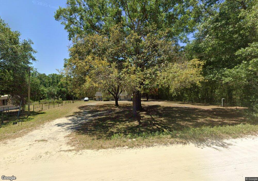
38700 Townsend Rd Dade City, FL 33525
Estimated Value: $282,966 - $329,000
3
Beds
2
Baths
1,512
Sq Ft
$202/Sq Ft
Est. Value
About This Home
This home is located at 38700 Townsend Rd, Dade City, FL 33525 and is currently estimated at $304,992, approximately $201 per square foot. 38700 Townsend Rd is a home located in Pasco County with nearby schools including Woodland Elementary School, Pasco High School, and Centennial Middle School.
Ownership History
Date
Name
Owned For
Owner Type
Purchase Details
Closed on
Jun 20, 2016
Sold by
Walters Doye David and Walters Robin Lin
Bought by
Carlson David
Current Estimated Value
Home Financials for this Owner
Home Financials are based on the most recent Mortgage that was taken out on this home.
Original Mortgage
$143,360
Outstanding Balance
$114,136
Interest Rate
3.58%
Mortgage Type
VA
Estimated Equity
$190,856
Create a Home Valuation Report for This Property
The Home Valuation Report is an in-depth analysis detailing your home's value as well as a comparison with similar homes in the area
Home Values in the Area
Average Home Value in this Area
Purchase History
| Date | Buyer | Sale Price | Title Company |
|---|---|---|---|
| Carlson David | $140,000 | Meridian Title Co Inc |
Source: Public Records
Mortgage History
| Date | Status | Borrower | Loan Amount |
|---|---|---|---|
| Open | Carlson David | $143,360 |
Source: Public Records
Tax History Compared to Growth
Tax History
| Year | Tax Paid | Tax Assessment Tax Assessment Total Assessment is a certain percentage of the fair market value that is determined by local assessors to be the total taxable value of land and additions on the property. | Land | Improvement |
|---|---|---|---|---|
| 2025 | $1,638 | $129,040 | -- | -- |
| 2024 | $1,638 | $125,410 | -- | -- |
| 2023 | $1,567 | $121,760 | $0 | $0 |
| 2022 | $1,396 | $118,220 | $0 | $0 |
| 2021 | $1,359 | $114,780 | $26,248 | $88,532 |
| 2020 | $1,330 | $113,200 | $23,860 | $89,340 |
| 2019 | $1,298 | $110,660 | $0 | $0 |
| 2018 | $1,266 | $108,599 | $0 | $0 |
| 2017 | $1,254 | $106,365 | $23,860 | $82,505 |
| 2016 | $1,664 | $103,002 | $23,860 | $79,142 |
| 2015 | $1,544 | $91,951 | $23,860 | $68,091 |
| 2014 | $1,424 | $89,002 | $23,860 | $65,142 |
Source: Public Records
Map
Nearby Homes
- 10314 Lamson Rd
- 10239 Dusty Hill Loop
- 10842 Prairie Dr
- 10923 Tumbleweed Dr
- 10919 Prairie Dr
- 10916 Prairie Dr
- 0021 Centennial Rd
- 10141 Connerly Rd
- 11014 Bluebird Dr
- 11034 Palamino Dr
- 11208 Memory Ln
- 11140 Redbird Dr
- 11101 Pelican Dr
- 11103 Maverick Dr
- 11135 Mesquite Dr
- 11213 Palamino Dr
- 11107 Mesquite Dr
- 11054 Mustang Dr
- 11125 Redbird Dr
- 11124 Mustang Dr
- 38630 Townsend Rd
- 10411 Dorough Rd
- 10721 U S 98 Unit 145
- 10414 Lamson Rd
- 10440 Lamson Rd
- 10330 Dorough Rd
- 10303 Dorough Rd
- 38900 Townsend Rd
- 10338 Lamson Rd
- 0 Lamson Rd
- 10314 Dusty Hill Loop
- 10248 Dusty Hill Loop
- 10306 Dusty Hill Loop
- 10238 Dusty Hill Loop
- 10236 Lamson Rd
- 10228 Dusty Hill Loop
- 10220 Dusty Hill Loop
- 10320 Dusty Hill Loop
- 10212 Dusty Hill Loop
- 10413 Lamson Rd