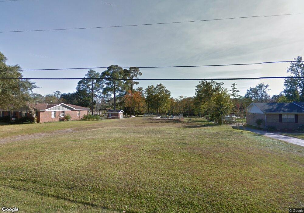
3871 Point Rd Mobile, AL 36619
Cypress Shores NeighborhoodEstimated Value: $293,000 - $368,000
Studio
1
Bath
2,073
Sq Ft
$162/Sq Ft
Est. Value
About This Home
This home is located at 3871 Point Rd, Mobile, AL 36619 and is currently estimated at $335,530, approximately $161 per square foot. 3871 Point Rd is a home with nearby schools including Mary W Burroughs Elementary School, Katherine H Hankins Middle School, and Theodore High School.
Ownership History
Date
Name
Owned For
Owner Type
Purchase Details
Closed on
Jan 16, 2015
Sold by
Lawrence Earl Ted and Lawrence Cathy
Bought by
Henley Ashley Brook and Henley Zachary Jordan
Current Estimated Value
Home Financials for this Owner
Home Financials are based on the most recent Mortgage that was taken out on this home.
Original Mortgage
$40,000
Interest Rate
3.98%
Mortgage Type
Future Advance Clause Open End Mortgage
Purchase Details
Closed on
Nov 29, 2004
Sold by
Edwards Jo Ann E
Bought by
Lawrence Earl Ted and Lawrence Cathy
Create a Home Valuation Report for This Property
The Home Valuation Report is an in-depth analysis detailing your home's value as well as a comparison with similar homes in the area
Home Values in the Area
Average Home Value in this Area
Purchase History
| Date | Buyer | Sale Price | Title Company |
|---|---|---|---|
| Henley Ashley Brook | $55,000 | None Available | |
| Lawrence Earl Ted | $180,000 | -- |
Source: Public Records
Mortgage History
| Date | Status | Borrower | Loan Amount |
|---|---|---|---|
| Closed | Henley Ashley Brook | $40,000 |
Source: Public Records
Tax History
| Year | Tax Paid | Tax Assessment Tax Assessment Total Assessment is a certain percentage of the fair market value that is determined by local assessors to be the total taxable value of land and additions on the property. | Land | Improvement |
|---|---|---|---|---|
| 2025 | $1,821 | $29,560 | $9,450 | $20,110 |
| 2024 | $1,821 | $28,500 | $9,450 | $19,050 |
| 2023 | $1,754 | $29,380 | $9,750 | $19,630 |
| 2022 | $1,707 | $27,920 | $9,750 | $18,170 |
| 2021 | $1,674 | $27,410 | $9,750 | $17,660 |
| 2020 | $1,521 | $24,990 | $7,150 | $17,840 |
| 2019 | $1,387 | $22,900 | $0 | $0 |
| 2018 | $1,924 | $30,300 | $0 | $0 |
| 2017 | $908 | $14,300 | $0 | $0 |
| 2016 | $699 | $11,000 | $0 | $0 |
| 2013 | $953 | $15,000 | $0 | $0 |
Source: Public Records
Map
Nearby Homes
- 3923 Patricia Dr
- 4301 Sawyer Ave
- 3865 Cypress Shores Dr N
- 4087 Canal Cir E
- 4601 Cypress Shores Dr
- 4601 Cypress Shores Dr Unit 1
- 3531 Spanish Aly
- 4219 Canal Dr
- 3847 Riviere Du Chien Rd
- 4851 Audubon Dr
- 3921 Saint Andrews Dr E
- 3921 St Andrews Dr E
- 5001 Audubon Dr
- 0 St Andrews Dr E Unit 7510683
- 4055 Riviere Du Chien Rd
- 3112 Riviere Du Chien Loop W
- 3320 Harbor View Ct
- 4604 Cypress Park Dr
- 4039 Leighton Place Dr
- 4043 Leighton Place Dr
