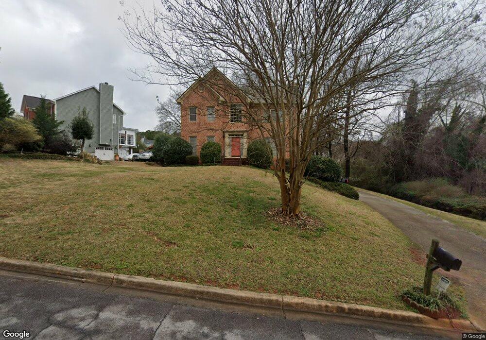
3872 Brookside Pkwy Unit 6 Decatur, GA 30034
Southwest DeKalb NeighborhoodEstimated Value: $287,563 - $366,000
4
Beds
3
Baths
2,298
Sq Ft
$135/Sq Ft
Est. Value
About This Home
This home is located at 3872 Brookside Pkwy Unit 6, Decatur, GA 30034 and is currently estimated at $311,141, approximately $135 per square foot. 3872 Brookside Pkwy Unit 6 is a home located in DeKalb County with nearby schools including Bob Mathis Elementary School, Chapel Hill Middle School, and Southwest Dekalb High School.
Ownership History
Date
Name
Owned For
Owner Type
Purchase Details
Closed on
Apr 22, 2005
Sold by
Dolman Cedric S and Dolman Bridget R
Bought by
Cook Frank O and Cook Lisa
Current Estimated Value
Home Financials for this Owner
Home Financials are based on the most recent Mortgage that was taken out on this home.
Original Mortgage
$160,200
Outstanding Balance
$83,794
Interest Rate
5.99%
Mortgage Type
New Conventional
Estimated Equity
$227,347
Purchase Details
Closed on
Aug 26, 1998
Sold by
Ragsdale John W Jr Trustee
Bought by
Dolman Cedric S and Dolman Bridget R
Home Financials for this Owner
Home Financials are based on the most recent Mortgage that was taken out on this home.
Original Mortgage
$134,100
Interest Rate
9.62%
Mortgage Type
New Conventional
Create a Home Valuation Report for This Property
The Home Valuation Report is an in-depth analysis detailing your home's value as well as a comparison with similar homes in the area
Home Values in the Area
Average Home Value in this Area
Purchase History
| Date | Buyer | Sale Price | Title Company |
|---|---|---|---|
| Cook Frank O | $178,000 | -- | |
| Dolman Cedric S | $149,000 | -- |
Source: Public Records
Mortgage History
| Date | Status | Borrower | Loan Amount |
|---|---|---|---|
| Open | Cook Frank O | $160,200 | |
| Previous Owner | Dolman Cedric S | $134,100 |
Source: Public Records
Tax History Compared to Growth
Tax History
| Year | Tax Paid | Tax Assessment Tax Assessment Total Assessment is a certain percentage of the fair market value that is determined by local assessors to be the total taxable value of land and additions on the property. | Land | Improvement |
|---|---|---|---|---|
| 2025 | $4,672 | $143,920 | $16,000 | $127,920 |
| 2024 | $4,796 | $139,960 | $16,000 | $123,960 |
| 2023 | $4,796 | $137,240 | $6,080 | $131,160 |
| 2022 | $3,506 | $102,920 | $6,080 | $96,840 |
| 2021 | $2,847 | $83,760 | $6,080 | $77,680 |
| 2020 | $2,395 | $70,480 | $6,080 | $64,400 |
| 2019 | $2,421 | $72,000 | $6,080 | $65,920 |
| 2018 | $2,071 | $67,320 | $6,080 | $61,240 |
| 2017 | $2,169 | $62,440 | $6,080 | $56,360 |
| 2016 | $2,036 | $60,120 | $6,080 | $54,040 |
| 2014 | $941 | $28,320 | $6,080 | $22,240 |
Source: Public Records
Map
Nearby Homes
- 3878 Brookside Pkwy
- 3865 Lehigh Blvd
- 4062 Brookside Pkwy
- 3875 Mcgill Way
- 3879 Mcgill Ln
- 3740 Brown Dr
- 3946 Flakes Mill Rd
- 3951 Mcgill Dr
- 3816 Holy Cross Ct
- 3664 Hofstra Ct
- 3672 Platina Park Ct
- 3778 Guilford Ct
- 3797 Flakes Mill Rd Unit 1A
- 4035 Shane Trail
- 3652 Platina Park Ct
- 3683 Brown Dr
- 4046 Shane Trail
- 3825 Shane Ct
- 3826 Brandeis Way
- 3924 Chimney Ridge Ct
- 3860 Brookside Pkwy
- 3817 Brown Dr
- 3825 Brown Dr
- 3848 Brookside Pkwy
- 3871 Brookside Pkwy
- 3886 Brookside Pkwy
- 3885 Brookside Pkwy
- 3863 Brookside Pkwy
- 3851 Brown Dr
- 3851 Brown D
- 3814 Brook Forest Trace
- 3845 Brown Dr
- 3890 Brookside Pkwy
- 3855 Brown Dr
- 3809 Brook Forest Trace
- 3822 Brookvale Place Unit 6
- 3899 Brookside Pkwy Unit 6
- 3814 Brown Dr
- 3896 Brookgreen Point Unit 6
- 3826 Brookside Pkwy