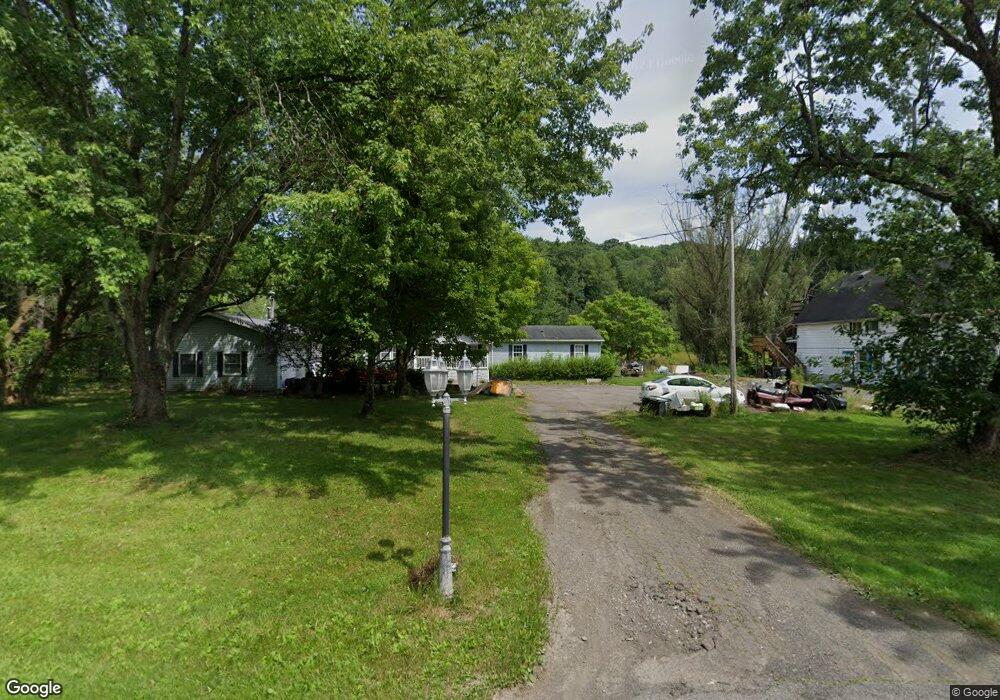
3872 State Route 26 Whitney Point, NY 13862
Estimated Value: $119,000 - $192,302
4
Beds
2
Baths
1,488
Sq Ft
$96/Sq Ft
Est. Value
About This Home
This home is located at 3872 State Route 26, Whitney Point, NY 13862 and is currently estimated at $143,326, approximately $96 per square foot. 3872 State Route 26 is a home located in Broome County with nearby schools including Caryl E. Adams Primary School, Tioughnioga Riverside Academy, and Whitney Point Senior High School.
Ownership History
Date
Name
Owned For
Owner Type
Purchase Details
Closed on
Sep 29, 2023
Sold by
Randall Bronson T
Bought by
Randall Chivas M and Randall Joy R
Current Estimated Value
Purchase Details
Closed on
Jul 29, 2016
Sold by
Clarks Summit University
Bought by
Randall Bronson T
Home Financials for this Owner
Home Financials are based on the most recent Mortgage that was taken out on this home.
Original Mortgage
$69,588
Interest Rate
3.42%
Mortgage Type
New Conventional
Purchase Details
Closed on
Sep 8, 2008
Sold by
Harris Fred
Bought by
Baptist Bible College Of Pa
Purchase Details
Closed on
May 16, 2008
Sold by
Testamentary Trust Of Jean A. Bish
Bought by
Harris Fred
Purchase Details
Closed on
Nov 29, 2004
Sold by
Bish
Bought by
Bish
Create a Home Valuation Report for This Property
The Home Valuation Report is an in-depth analysis detailing your home's value as well as a comparison with similar homes in the area
Home Values in the Area
Average Home Value in this Area
Purchase History
| Date | Buyer | Sale Price | Title Company |
|---|---|---|---|
| Randall Chivas M | $20,000 | None Listed On Document | |
| Randall Bronson T | $79,500 | None Available | |
| Baptist Bible College Of Pa | -- | James Cahill | |
| Harris Fred | $117,000 | James Cahill | |
| Bish | -- | James M Hayes |
Source: Public Records
Mortgage History
| Date | Status | Borrower | Loan Amount |
|---|---|---|---|
| Previous Owner | Randall Bronson T | $69,588 |
Source: Public Records
Tax History Compared to Growth
Tax History
| Year | Tax Paid | Tax Assessment Tax Assessment Total Assessment is a certain percentage of the fair market value that is determined by local assessors to be the total taxable value of land and additions on the property. | Land | Improvement |
|---|---|---|---|---|
| 2024 | $2,986 | $50,000 | $10,000 | $40,000 |
| 2023 | $3,008 | $50,000 | $10,000 | $40,000 |
| 2022 | $2,833 | $50,000 | $10,000 | $40,000 |
| 2021 | $2,783 | $50,000 | $10,000 | $40,000 |
| 2020 | $2,771 | $50,000 | $10,000 | $40,000 |
| 2019 | -- | $50,000 | $10,000 | $40,000 |
| 2018 | $2,704 | $50,000 | $10,000 | $40,000 |
| 2017 | $2,677 | $50,000 | $10,000 | $40,000 |
| 2016 | $2,659 | $50,000 | $10,000 | $40,000 |
| 2015 | -- | $80,000 | $10,000 | $70,000 |
| 2014 | -- | $80,000 | $10,000 | $70,000 |
Source: Public Records
Map
Nearby Homes
- 52 Swan Hill Rd
- 4 Ostrander St
- 21 Anderson Rd
- 1537 Dunham Hill Rd
- 245 Pendell Hill Rd
- 254 Hardy Rd
- 6 Dedrick Hill Rd
- 470 Pendell Hill Rd
- 452 Perry Rd
- 608 Pendell Hill Rd
- 584 Ashley Rd
- 2938 State Route 26
- 1153 S Ketchumville Rd
- 1321 Hyde St
- 219 Swift Rd
- 59 Park St
- 7278 Collins St
- 2614 Main St
- 7318 Collins St
- 7800 New York 79
- 3872 Nys 26
- 3880 State Route 26
- 3864 State Route 26
- 3863 State Route 26
- 3890 State Route 26
- 3884 State Route 26
- 3858 State Route 26
- 3897 State Route 26
- 3846 State Route 26
- 3852 State Route 26
- 3847 New York 26
- 3838 State Route 26
- 3912 State Route 26
- 3838 Rte 26
- 3833 State Route 26
- 3920 State Route 26
- 3826 State Route 26
- 46 Shady Rd
- 34 Shady Dr
- 34 Shady Rd