3873 Hillsdale Dr Unit 113 Auburn Hills, MI 48326
Estimated Value: $435,000 - $453,000
3
Beds
2
Baths
1,801
Sq Ft
$246/Sq Ft
Est. Value
About This Home
This home is located at 3873 Hillsdale Dr Unit 113, Auburn Hills, MI 48326 and is currently estimated at $442,316, approximately $245 per square foot. 3873 Hillsdale Dr Unit 113 is a home located in Oakland County with nearby schools including Rogers Elementary, Pontiac Middle School, and Pontiac High School.
Ownership History
Date
Name
Owned For
Owner Type
Purchase Details
Closed on
Dec 30, 2004
Sold by
Bahnmiller Richard C and Bahnmiller Martha L
Bought by
Wilkins Sally D
Current Estimated Value
Home Financials for this Owner
Home Financials are based on the most recent Mortgage that was taken out on this home.
Original Mortgage
$145,000
Interest Rate
5.9%
Mortgage Type
Purchase Money Mortgage
Purchase Details
Closed on
Sep 20, 2000
Sold by
Heritage Of Auburn Hills
Bought by
Bahnmiller Richard C
Create a Home Valuation Report for This Property
The Home Valuation Report is an in-depth analysis detailing your home's value as well as a comparison with similar homes in the area
Home Values in the Area
Average Home Value in this Area
Purchase History
| Date | Buyer | Sale Price | Title Company |
|---|---|---|---|
| Wilkins Sally D | $245,000 | Title One Inc | |
| Bahnmiller Richard C | $240,193 | -- |
Source: Public Records
Mortgage History
| Date | Status | Borrower | Loan Amount |
|---|---|---|---|
| Previous Owner | Wilkins Sally D | $145,000 |
Source: Public Records
Tax History Compared to Growth
Tax History
| Year | Tax Paid | Tax Assessment Tax Assessment Total Assessment is a certain percentage of the fair market value that is determined by local assessors to be the total taxable value of land and additions on the property. | Land | Improvement |
|---|---|---|---|---|
| 2024 | $1,666 | $172,370 | $0 | $0 |
| 2023 | $1,590 | $169,850 | $0 | $0 |
| 2022 | $2,808 | $146,820 | $0 | $0 |
| 2021 | $2,763 | $135,600 | $0 | $0 |
| 2020 | $1,496 | $141,290 | $0 | $0 |
| 2019 | $2,535 | $136,240 | $0 | $0 |
| 2018 | $2,479 | $132,270 | $0 | $0 |
| 2017 | $2,412 | $130,610 | $0 | $0 |
| 2016 | $2,396 | $120,170 | $0 | $0 |
| 2015 | -- | $106,570 | $0 | $0 |
| 2014 | -- | $88,370 | $0 | $0 |
| 2011 | -- | $76,560 | $0 | $0 |
Source: Public Records
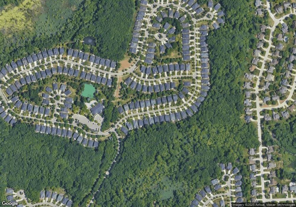
Map
Nearby Homes
- 3640 Camden Ct
- 3634 Camden Ct
- 4035 Hillsdale Dr Unit 275
- 3534 Riverside Dr Unit 141
- 3674 Merriweather Ln
- 3633 Thornwood Dr
- 3879 Teakwood Ln
- 3780 Bald Mountain Rd
- 3095 Bridgewater Rd Unit 30
- 3057 Bridgewater Rd
- 423 Silvervale Dr
- 1906 Independence Ct
- 3273 Salem Dr
- 3111 Ramzi Ln
- 5700 Rolling Hills Dr
- 3639 Heatherwood Ct
- 1609 Kilburn Rd N
- 2935 Woodford Cir
- 2638 Patrick Henry Rd
- 3101 Elstead St
- 3875 Hillsdale Dr
- 3871 Hillsdale Dr Unit 112
- 3869 Hillsdale Dr
- 3877 Hillsdale Dr
- 3709 Crestwood Dr
- 3707 Crestwood Dr
- 3711 Crestwood Dr Unit 125
- 3867 Hillsdale Dr
- 3879 Hillsdale Dr
- 3705 Crestwood Dr
- 3874 Hillsdale Dr Unit Bldg-Unit
- 3874 Hillsdale Dr
- 3713 Crestwood Dr Unit 124
- 3872 Hillsdale Dr
- 3870 Hillsdale Dr
- 3703 Crestwood Dr
- 3865 Hillsdale Dr
- 3881 Hillsdale Dr Unit 117
- 3868 Hillsdale Dr
- 3876 Hillsdale Dr