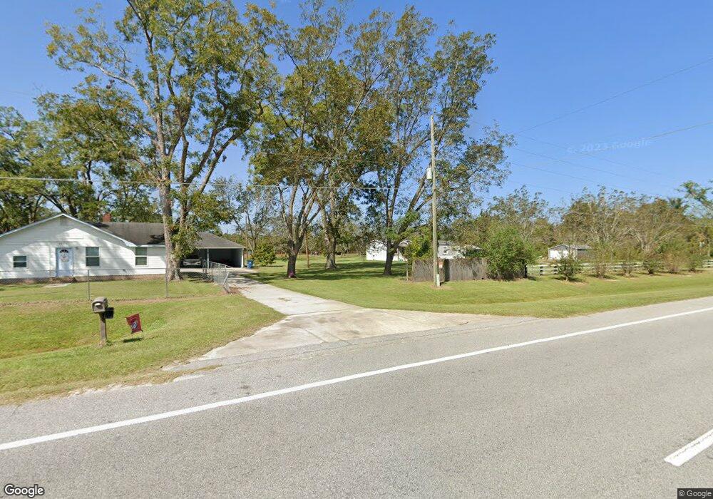
3873 Scapa Rd Waycross, GA 31503
Estimated Value: $208,000 - $262,932
3
Beds
1
Bath
1,814
Sq Ft
$128/Sq Ft
Est. Value
About This Home
This home is located at 3873 Scapa Rd, Waycross, GA 31503 and is currently estimated at $232,233, approximately $128 per square foot. 3873 Scapa Rd is a home located in Ware County with nearby schools including Waresboro Elementary School, Ware County Middle School, and Ware County High School.
Ownership History
Date
Name
Owned For
Owner Type
Purchase Details
Closed on
May 6, 2024
Sold by
Gomez Jose L
Bought by
Martinez Maria Loredo
Current Estimated Value
Purchase Details
Closed on
Jan 25, 2022
Sold by
Reeves Sonny M
Bought by
Gomez Jose L and Martinez Maria Loredo
Home Financials for this Owner
Home Financials are based on the most recent Mortgage that was taken out on this home.
Original Mortgage
$175,000
Interest Rate
3.56%
Mortgage Type
Cash
Create a Home Valuation Report for This Property
The Home Valuation Report is an in-depth analysis detailing your home's value as well as a comparison with similar homes in the area
Home Values in the Area
Average Home Value in this Area
Purchase History
| Date | Buyer | Sale Price | Title Company |
|---|---|---|---|
| Martinez Maria Loredo | -- | -- | |
| Gomez Jose L | $175,000 | -- |
Source: Public Records
Mortgage History
| Date | Status | Borrower | Loan Amount |
|---|---|---|---|
| Previous Owner | Gomez Jose L | $175,000 |
Source: Public Records
Tax History Compared to Growth
Tax History
| Year | Tax Paid | Tax Assessment Tax Assessment Total Assessment is a certain percentage of the fair market value that is determined by local assessors to be the total taxable value of land and additions on the property. | Land | Improvement |
|---|---|---|---|---|
| 2024 | $2,738 | $94,771 | $14,972 | $79,799 |
| 2023 | $1,679 | $58,143 | $8,656 | $49,487 |
| 2022 | $1,621 | $58,143 | $8,656 | $49,487 |
| 2021 | $1,111 | $37,429 | $8,656 | $28,773 |
| 2020 | $1,084 | $36,178 | $8,656 | $27,522 |
| 2019 | $1,065 | $34,927 | $8,656 | $26,271 |
| 2018 | $1,034 | $33,676 | $8,656 | $25,020 |
| 2017 | $1,033 | $33,676 | $8,656 | $25,020 |
| 2016 | $1,033 | $33,676 | $8,656 | $25,020 |
| 2015 | -- | $33,676 | $8,656 | $25,020 |
| 2014 | -- | $33,676 | $8,656 | $25,020 |
| 2013 | -- | $0 | $0 | $0 |
Source: Public Records
Map
Nearby Homes
- 4818 Lovett Rd
- 4717 Smith Ln
- Lot 2 Smith Ln
- 4601 Old Scapa Ln
- 4600 Alma Hwy
- 4517 Cameron Ln
- 4525 Oak View Rd
- 4535 Oak View Cir
- 4545 Oak View Cir
- 4601 Alma Hwy
- S S River Rd
- 3940 Cleve Rd
- 5790 Wooddell Dr
- 4263 N River Rd
- 4606 Dukes Rd
- 2180 Fulford Rd Unit n/a
- 4190 Church Street Extension
- 0 Jamestown Rd Unit 25595234
- 0 Jamestown Rd Unit 25595235
- 0 Jamestown Rd Unit 10575588
- 3872 Scapa Rd
- 3861 Scapa Rd
- 3878 Scapa Rd
- 3881 Scapa Rd
- 4029 Osteen Rd
- 3887 Scapa Rd
- 4890 Lovett Rd
- 5102 Vernon Ellis Rd
- 4070 Thigpen Rd
- 4006 Osteen Rd
- 5227 Alma Hwy
- 4817 Lovett Rd
- 4850 Lovett Rd
- 4821 Lovett Rd
- 5277 Alma Hwy
- 4062 Thigpen Rd
- 0 Johnson Place
- 4042 Thigpen Rd
- 3974 Thigpen Rd
- 4809 Lovett Rd