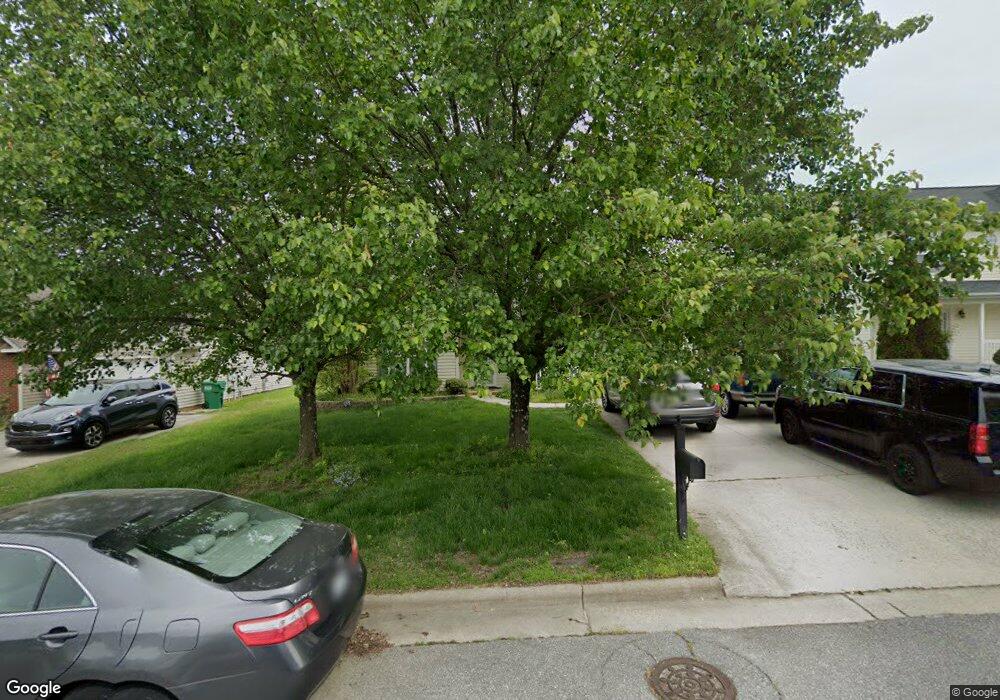
3875 Range Crest Ct High Point, NC 27265
Florence NeighborhoodEstimated Value: $252,227 - $273,000
3
Beds
2
Baths
1,136
Sq Ft
$229/Sq Ft
Est. Value
About This Home
This home is located at 3875 Range Crest Ct, High Point, NC 27265 and is currently estimated at $260,307, approximately $229 per square foot. 3875 Range Crest Ct is a home located in Guilford County with nearby schools including Montlieu Academy of Technology, Welborn Academy of Science & Technology, and T.W. Andrews High School.
Ownership History
Date
Name
Owned For
Owner Type
Purchase Details
Closed on
Dec 26, 2005
Sold by
Wright Amy M and Wright Kevin Scott
Bought by
Denny Bradley R
Current Estimated Value
Home Financials for this Owner
Home Financials are based on the most recent Mortgage that was taken out on this home.
Original Mortgage
$123,000
Outstanding Balance
$66,990
Interest Rate
5.75%
Mortgage Type
Fannie Mae Freddie Mac
Estimated Equity
$193,317
Purchase Details
Closed on
Aug 1, 2001
Sold by
Shugart Enterprises Llc
Bought by
Davis Amy M
Home Financials for this Owner
Home Financials are based on the most recent Mortgage that was taken out on this home.
Original Mortgage
$90,000
Interest Rate
7.18%
Create a Home Valuation Report for This Property
The Home Valuation Report is an in-depth analysis detailing your home's value as well as a comparison with similar homes in the area
Home Values in the Area
Average Home Value in this Area
Purchase History
| Date | Buyer | Sale Price | Title Company |
|---|---|---|---|
| Denny Bradley R | $123,000 | None Available | |
| Davis Amy M | $105,000 | -- |
Source: Public Records
Mortgage History
| Date | Status | Borrower | Loan Amount |
|---|---|---|---|
| Open | Denny Bradley R | $123,000 | |
| Previous Owner | Davis Amy M | $90,000 |
Source: Public Records
Tax History
| Year | Tax Paid | Tax Assessment Tax Assessment Total Assessment is a certain percentage of the fair market value that is determined by local assessors to be the total taxable value of land and additions on the property. | Land | Improvement |
|---|---|---|---|---|
| 2025 | $2,254 | $163,600 | $44,000 | $119,600 |
| 2024 | $2,254 | $163,600 | $44,000 | $119,600 |
| 2023 | $2,254 | $163,600 | $44,000 | $119,600 |
| 2022 | $2,205 | $163,600 | $44,000 | $119,600 |
| 2021 | $1,670 | $121,200 | $30,000 | $91,200 |
| 2020 | $1,670 | $121,200 | $30,000 | $91,200 |
| 2019 | $1,670 | $121,200 | $0 | $0 |
| 2018 | $1,662 | $121,200 | $0 | $0 |
| 2017 | $1,662 | $121,200 | $0 | $0 |
| 2016 | $1,669 | $119,000 | $0 | $0 |
| 2015 | $1,678 | $119,000 | $0 | $0 |
| 2014 | $1,706 | $119,000 | $0 | $0 |
Source: Public Records
Map
Nearby Homes
- 3871 Eagleston Ct
- 3724 Spanish Peak Dr Unit 2B
- 3710 Spanish Peak Dr Unit 2D
- 3869 Hickswood Creek Dr
- 3920 Cloverwood Meadow Ln
- 2922 Hearthstone Point Dr
- 3973 Cobblestone Bend Dr
- 3518 Pebblestone Ln
- 1650 Penny Rd
- 3464 Basalt Ct
- 3815 Copperfield Ct
- 2116 Penny Rd
- 3859 Copperfield Ct
- 3776 Windstream Way
- 3650 Sunset Hollow Dr
- 3128 Rock Pond Cir
- 3741 Georgia Pond Ln
- 2855 Mossy Meadow Dr
- 3310 Cherrybrook Dr
- 1955 Eastchester Dr
- 3879 Range Crest Ct
- 3871 Range Crest Ct
- 3883 Range Crest Ct
- 3868 Eagleston Ct
- 3864 Eagleston Ct
- 3867 Range Crest Ct
- 3872 Eagleston Ct
- 3860 Eagleston Ct
- 3887 Range Crest Ct
- 3872 Range Crest Ct
- 3876 Eagleston Ct
- 3876 Range Crest Ct
- 3863 Range Crest Ct
- 3856 Eagleston Ct
- 3868 Range Crest Ct
- 3880 Range Crest Ct
- 3880 Eagleston Ct
- 3891 Range Crest Ct
- 3884 Range Crest Ct
- 3859 Range Crest Ct
Your Personal Tour Guide
Ask me questions while you tour the home.