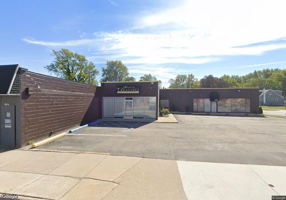
3875 Twelve Mile Rd Unit Bldg-Unit Berkley, MI 48072
Estimated Value: $356,919
--
Bed
--
Bath
2,836
Sq Ft
$126/Sq Ft
Est. Value
About This Home
This home is located at 3875 Twelve Mile Rd Unit Bldg-Unit, Berkley, MI 48072 and is currently estimated at $356,919, approximately $125 per square foot. 3875 Twelve Mile Rd Unit Bldg-Unit is a home located in Oakland County with nearby schools including Angell Elementary School, Anderson Middle School, and Berkley High School.
Ownership History
Date
Name
Owned For
Owner Type
Purchase Details
Closed on
Sep 20, 2018
Sold by
Parish Interests L L C
Bought by
Zifkin Holdings Llc
Current Estimated Value
Purchase Details
Closed on
Dec 28, 1995
Sold by
Parish John R
Bought by
Parish Family Ltd Ptr
Create a Home Valuation Report for This Property
The Home Valuation Report is an in-depth analysis detailing your home's value as well as a comparison with similar homes in the area
Home Values in the Area
Average Home Value in this Area
Purchase History
| Date | Buyer | Sale Price | Title Company |
|---|---|---|---|
| Zifkin Holdings Llc | $260,000 | None Available | |
| Parish Family Ltd Ptr | -- | -- |
Source: Public Records
Tax History Compared to Growth
Tax History
| Year | Tax Paid | Tax Assessment Tax Assessment Total Assessment is a certain percentage of the fair market value that is determined by local assessors to be the total taxable value of land and additions on the property. | Land | Improvement |
|---|---|---|---|---|
| 2024 | $9,849 | $185,640 | $0 | $0 |
| 2023 | $9,047 | $177,500 | $0 | $0 |
| 2022 | $8,892 | $163,090 | $0 | $0 |
| 2021 | $8,665 | $155,980 | $0 | $0 |
| 2020 | $8,383 | $153,580 | $0 | $0 |
| 2019 | $8,515 | $142,190 | $0 | $0 |
| 2017 | $6,370 | $128,250 | $0 | $0 |
| 2015 | -- | $116,420 | $0 | $0 |
Source: Public Records
Map
Nearby Homes
- 3515 Bacon Ave
- 3578 Bacon Ave
- 3528 Phillips Ave
- 3542 Royal Ave
- 3560 Royal Ave
- 3625 Ellwood Ave
- 3659 Ellwood Ave
- 3678 Royal Ave
- 3774 Greenfield Rd
- 3734 Buckingham Ave
- 3912 Ellwood Ave
- 28740 Fairfax St
- 3952 Greenfield Rd
- 29148 Fairfax St
- 28530 Fairfax St
- 2716 Thomas Ave
- 2783 Royal Ave
- 3858 Tyler Ave
- 4048 Royal Ave
- 2678 Bacon Ave
- 3875 Twelve Mile Rd
- 3356 Cummings Ave
- 3340 Cummings Ave
- 3933 Twelve Mile Rd
- 3833 Twelve Mile Rd
- 3355 Bacon Ave
- 3324 Cummings Ave
- 3933 12 Mile Rd
- 3339 Bacon Ave
- 3308 Cummings Ave
- 3325 Bacon Ave
- 3339 Cummings Ave
- 3947 Twelve Mile Rd
- 3325 Cummings Ave
- 3309 Bacon Ave
- 3292 Cummings Ave
- 3445 Prairie Ave
- 3947 12 Mile Rd
- 3309 Cummings Ave
- 3446 Cummings Ave