3878 Hillsdale Dr Auburn Hills, MI 48326
Estimated Value: $466,000 - $476,929
3
Beds
3
Baths
1,700
Sq Ft
$276/Sq Ft
Est. Value
About This Home
This home is located at 3878 Hillsdale Dr, Auburn Hills, MI 48326 and is currently estimated at $469,732, approximately $276 per square foot. 3878 Hillsdale Dr is a home located in Oakland County with nearby schools including Rogers Elementary, Pontiac Middle School, and Pontiac High School.
Ownership History
Date
Name
Owned For
Owner Type
Purchase Details
Closed on
Jul 19, 2005
Sold by
Wamby Frances Ann
Bought by
Wamby Frances Ann and Frances Ann Wamby Living Trust
Current Estimated Value
Home Financials for this Owner
Home Financials are based on the most recent Mortgage that was taken out on this home.
Original Mortgage
$155,000
Outstanding Balance
$81,069
Interest Rate
5.69%
Mortgage Type
New Conventional
Estimated Equity
$388,663
Purchase Details
Closed on
Nov 14, 2000
Sold by
Heritage Of Auburn Hills
Bought by
Frances Ann Wamby Tr
Create a Home Valuation Report for This Property
The Home Valuation Report is an in-depth analysis detailing your home's value as well as a comparison with similar homes in the area
Home Values in the Area
Average Home Value in this Area
Purchase History
| Date | Buyer | Sale Price | Title Company |
|---|---|---|---|
| Wamby Frances Ann | -- | Title One Inc | |
| Wamby Frances Ann | -- | Title One Inc | |
| Frances Ann Wamby Tr | $291,931 | -- |
Source: Public Records
Mortgage History
| Date | Status | Borrower | Loan Amount |
|---|---|---|---|
| Open | Wamby Frances Ann | $155,000 |
Source: Public Records
Tax History Compared to Growth
Tax History
| Year | Tax Paid | Tax Assessment Tax Assessment Total Assessment is a certain percentage of the fair market value that is determined by local assessors to be the total taxable value of land and additions on the property. | Land | Improvement |
|---|---|---|---|---|
| 2024 | $2,104 | $211,060 | $0 | $0 |
| 2023 | $2,008 | $186,080 | $0 | $0 |
| 2022 | $3,547 | $168,930 | $0 | $0 |
| 2021 | $3,491 | $166,100 | $0 | $0 |
| 2020 | $1,890 | $161,980 | $0 | $0 |
| 2019 | $3,204 | $159,920 | $0 | $0 |
| 2018 | $3,133 | $166,050 | $0 | $0 |
| 2017 | $2,805 | $153,950 | $0 | $0 |
| 2016 | $2,786 | $141,670 | $0 | $0 |
| 2015 | -- | $125,570 | $0 | $0 |
| 2014 | -- | $103,580 | $0 | $0 |
| 2011 | -- | $89,260 | $0 | $0 |
Source: Public Records
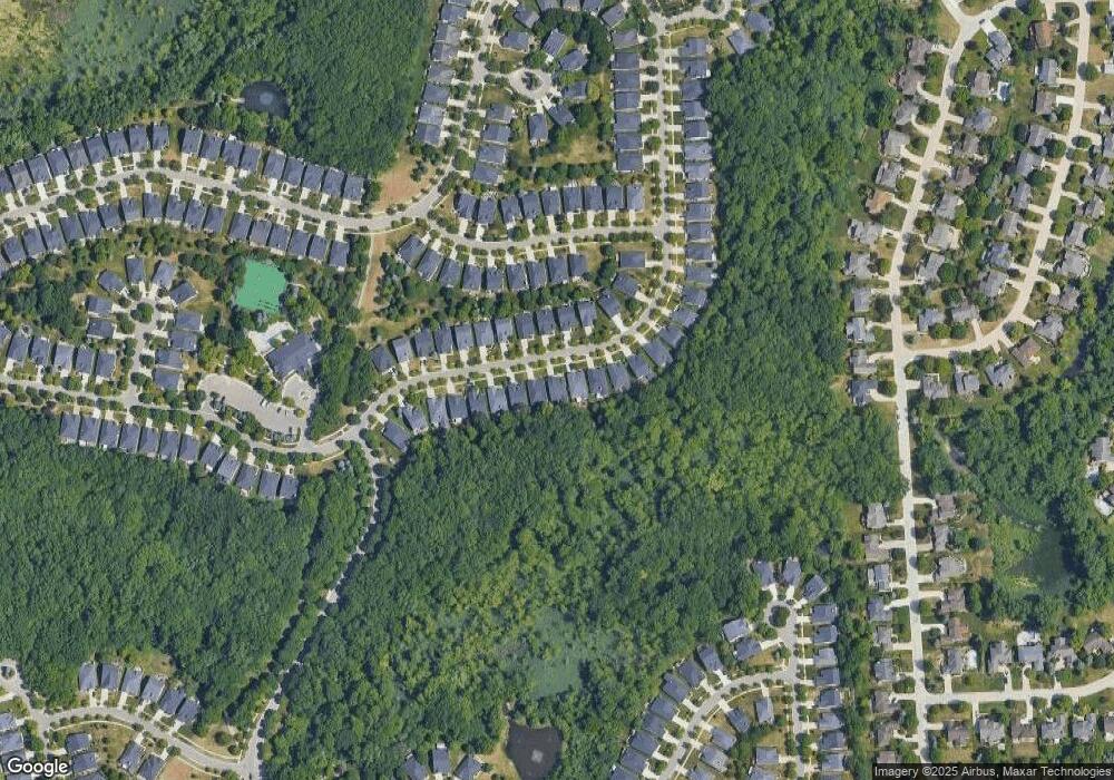
Map
Nearby Homes
- 3640 Camden Ct
- 3634 Camden Ct
- 4035 Hillsdale Dr Unit 275
- 3534 Riverside Dr Unit 141
- 3879 Teakwood Ln
- 3674 Merriweather Ln
- 3633 Thornwood Dr
- 3095 Bridgewater Rd Unit 30
- 3057 Bridgewater Rd
- 3780 Bald Mountain Rd
- 423 Silvervale Dr
- 1906 Independence Ct
- 3111 Ramzi Ln
- 3273 Salem Dr
- 3639 Heatherwood Ct
- 5700 Rolling Hills Dr
- 1609 Kilburn Rd N
- 2638 Patrick Henry Rd
- 3101 Elstead St
- 2935 Woodford Cir
- 3880 Hillsdale Dr Unit 97
- 3876 Hillsdale Dr
- 3882 Hillsdale Dr
- 3874 Hillsdale Dr Unit Bldg-Unit
- 3874 Hillsdale Dr
- 3872 Hillsdale Dr
- 3884 Hillsdale Dr
- 3879 Hillsdale Dr
- 3877 Hillsdale Dr
- 3870 Hillsdale Dr
- 3881 Hillsdale Dr Unit 117
- 3875 Hillsdale Dr
- 3883 Hillsdale Dr Unit 118
- 3886 Hillsdale Dr
- 3873 Hillsdale Dr Unit 113
- 3868 Hillsdale Dr
- 3887 Hillsdale Dr
- 3888 Hillsdale Dr
- 3871 Hillsdale Dr Unit 112
- 3866 Hillsdale Dr Unit 90