3878 Loop Rd Steele, AL 35987
Estimated Value: $473,000 - $636,000
Studio
1
Bath
2,469
Sq Ft
$231/Sq Ft
Est. Value
About This Home
This home is located at 3878 Loop Rd, Steele, AL 35987 and is currently estimated at $570,877, approximately $231 per square foot. 3878 Loop Rd is a home located in St. Clair County with nearby schools including Steele Elementary School and Ashville High School.
Ownership History
Date
Name
Owned For
Owner Type
Purchase Details
Closed on
Jun 6, 2017
Sold by
Fuhrman Timothy L and Fuhrman Angie A
Bought by
Alexander Robert Paul and Alexander Cindy F
Current Estimated Value
Home Financials for this Owner
Home Financials are based on the most recent Mortgage that was taken out on this home.
Original Mortgage
$597,000
Outstanding Balance
$496,715
Interest Rate
4.03%
Mortgage Type
Commercial
Estimated Equity
$74,162
Create a Home Valuation Report for This Property
The Home Valuation Report is an in-depth analysis detailing your home's value as well as a comparison with similar homes in the area
Home Values in the Area
Average Home Value in this Area
Purchase History
| Date | Buyer | Sale Price | Title Company |
|---|---|---|---|
| Alexander Robert Paul | $350,000 | Ashville Land & Title Inc |
Source: Public Records
Mortgage History
| Date | Status | Borrower | Loan Amount |
|---|---|---|---|
| Open | Alexander Robert Paul | $597,000 |
Source: Public Records
Tax History
| Year | Tax Paid | Tax Assessment Tax Assessment Total Assessment is a certain percentage of the fair market value that is determined by local assessors to be the total taxable value of land and additions on the property. | Land | Improvement |
|---|---|---|---|---|
| 2024 | $1,111 | $90,722 | $24,080 | $66,642 |
| 2023 | $1,111 | $90,722 | $24,080 | $66,642 |
| 2022 | $911 | $38,918 | $12,040 | $26,878 |
| 2021 | $913 | $38,916 | $12,038 | $26,878 |
| 2020 | $913 | $38,916 | $12,038 | $26,878 |
| 2019 | $913 | $38,916 | $12,038 | $26,878 |
| 2018 | $777 | $25,000 | $0 | $0 |
| 2017 | $813 | $24,840 | $0 | $0 |
| 2016 | $772 | $24,840 | $0 | $0 |
| 2015 | $813 | $24,740 | $0 | $0 |
| 2014 | $813 | $26,180 | $0 | $0 |
Source: Public Records
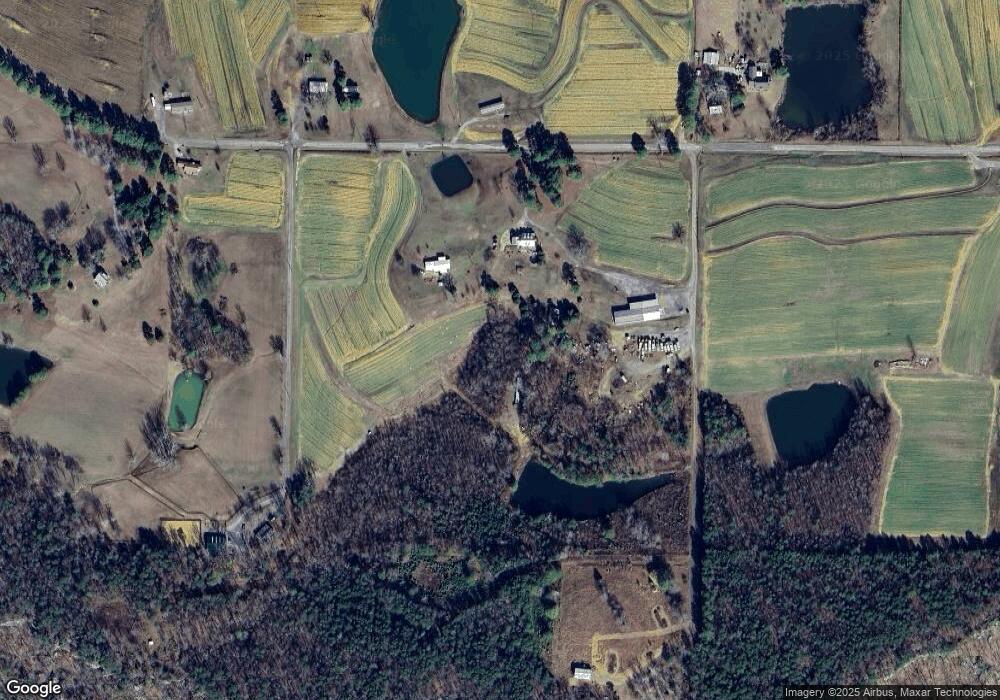
Map
Nearby Homes
- 3074 Beason Cove Rd
- 61 Hartsfield Dr
- 0 Legion Dr Unit 893391
- 0 Legion Dr Unit 19987726
- 0 Highway 11 Unit 21427361
- 1850 Pleasant Valley Rd
- 0 Sumatanga Rd
- 19099 US Highway 11
- 2405 Cliff Springs Rd
- 0 Sweatt Rd Unit 21415006
- 0 County Road 42 Unit 26157833
- 0 County Road 42 Unit 21442134
- 0 Cliff Springs Rd Unit 21429334
- 0 Cliff Springs Rd Unit 24577101
- 620 Washburn Dr
- 560 Phillips Dr
- 2285 Reneau Rd
- 36240 US Hwy 231
- 3341 Jackson Trail
- 4396 Shore Dr
- 3774 Loop Rd
- 3787 Loop Rd
- 3966 Loop Rd
- 4115 Loop Rd
- 4043 Loop Rd
- 4001 Loop Rd
- 4287 Loop Rd
- 3477 Loop Rd
- 4590 Loop Rd
- 1441 Beason Cove Rd
- 1441 Beason Cove Rd
- 4690 Loop Rd
- 4731 Loop Rd
- 1944 Beason Cove Rd
- 4855 Loop Rd
- 3052 Loop Rd
- 800 Curt Hinton Dr
- 2190 Beason Cove Rd
- 2824 Loop Rd
- 2010 Beason Cove Rd
Your Personal Tour Guide
Ask me questions while you tour the home.