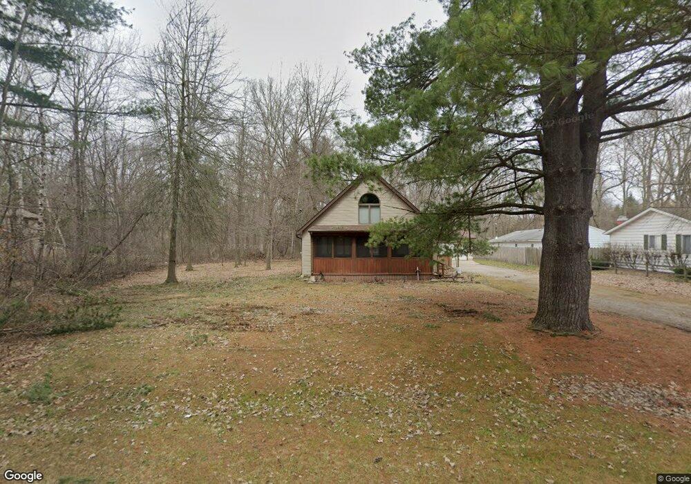
3879 Jim Dr Bridgeport, MI 48722
Bridgeport NeighborhoodEstimated Value: $180,946 - $202,000
3
Beds
2
Baths
1,512
Sq Ft
$127/Sq Ft
Est. Value
About This Home
This home is located at 3879 Jim Dr, Bridgeport, MI 48722 and is currently estimated at $191,487, approximately $126 per square foot. 3879 Jim Dr is a home located in Saginaw County with nearby schools including Thomas White School, Martin G. Atkins Elementary School, and Bridgeport High School.
Ownership History
Date
Name
Owned For
Owner Type
Purchase Details
Closed on
Jul 5, 2016
Sold by
Matteson Sue A and Matteson James L
Bought by
Matteson James L and Matteson Sue A
Current Estimated Value
Purchase Details
Closed on
Mar 25, 2011
Sold by
Household Finance Corporation Iii
Bought by
Matteson James and Matteson Sue
Purchase Details
Closed on
Nov 10, 2010
Sold by
Brown Christopher Joseph
Bought by
Household Finance Corporation Iii
Purchase Details
Closed on
May 14, 2010
Sold by
Brown Christopher Joseph
Bought by
Household Finance Corporation Iii
Purchase Details
Closed on
Apr 25, 1991
Create a Home Valuation Report for This Property
The Home Valuation Report is an in-depth analysis detailing your home's value as well as a comparison with similar homes in the area
Home Values in the Area
Average Home Value in this Area
Purchase History
| Date | Buyer | Sale Price | Title Company |
|---|---|---|---|
| Matteson James L | $133 | -- | |
| Matteson James | $34,250 | -- | |
| Household Finance Corporation Iii | -- | -- | |
| Household Finance Corporation Iii | $67,825 | -- | |
| -- | $5,800 | -- |
Source: Public Records
Tax History Compared to Growth
Tax History
| Year | Tax Paid | Tax Assessment Tax Assessment Total Assessment is a certain percentage of the fair market value that is determined by local assessors to be the total taxable value of land and additions on the property. | Land | Improvement |
|---|---|---|---|---|
| 2025 | $2,528 | $73,400 | $0 | $0 |
| 2024 | $667 | $70,300 | $0 | $0 |
| 2023 | $635 | $61,900 | $0 | $0 |
| 2022 | $2,133 | $56,700 | $0 | $0 |
| 2021 | $1,960 | $58,100 | $0 | $0 |
| 2020 | $1,909 | $57,500 | $0 | $0 |
| 2019 | $1,816 | $51,700 | $3,500 | $48,200 |
| 2018 | $582 | $54,200 | $0 | $0 |
| 2017 | $2,661 | $52,600 | $0 | $0 |
| 2016 | $2,796 | $51,500 | $0 | $0 |
| 2014 | -- | $51,300 | $0 | $48,000 |
| 2013 | -- | $50,400 | $0 | $0 |
Source: Public Records
Map
Nearby Homes
- 3977 Snowberry Rd
- 3040 S Towerline Rd
- 3927 State St
- 3873 State St
- 0 Dixie Unit 50157060
- 4051 Old King Rd
- 3838 Sherman St
- 3615 Bernice Dr
- 3928 Clutier Rd
- 3195 Dixie Ct
- 3565 Diamondale Dr E
- 4694 King Rd
- 2840 Greenbriar Dr
- 2846 Briarwood Dr
- 2820 Greenbriar Dr
- 3780 Mack Rd
- 0 VL S Airport Rd
- V/L S Airport Rd
- 3531 Creekwood Dr
- 3482 Creekwood Dr
- 3915 Jim Dr
- 3861 Jim Dr
- 3849 Jim Dr
- 3886 Jim Dr
- 3868 Jim Dr
- 3920 Jim Dr
- 3850 Jim Dr
- 3833 Jim Dr
- 3660 S Towerline Rd
- 3878 Jim Dr
- 3950 Jim Dr
- 3900 Jim Dr
- 3815 Jim Dr
- 3622 S Towerline Rd
- 3704 S Towerline Rd
- 3548 S Towerline Rd
- 0 S Towerline Rd
- 3740 S Towerline Rd
- 3564 S Towerline Rd
- 3695 S Towerline Rd