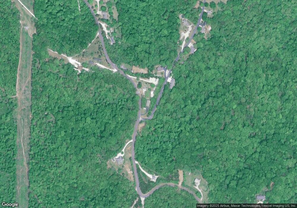
3879 Wedde Rd Barnhart, MO 63012
Estimated Value: $212,872 - $320,000
Studio
--
Bath
1,680
Sq Ft
$158/Sq Ft
Est. Value
About This Home
This home is located at 3879 Wedde Rd, Barnhart, MO 63012 and is currently estimated at $265,718, approximately $158 per square foot. 3879 Wedde Rd is a home with nearby schools including Antonia Elementary School, Antonia Middle School, and Seckman Senior High School.
Ownership History
Date
Name
Owned For
Owner Type
Purchase Details
Closed on
Nov 7, 2006
Sold by
Edwards Gregory A and Edwards Mona D
Bought by
Edwards Gregory A
Current Estimated Value
Home Financials for this Owner
Home Financials are based on the most recent Mortgage that was taken out on this home.
Original Mortgage
$60,000
Interest Rate
6.37%
Mortgage Type
New Conventional
Create a Home Valuation Report for This Property
The Home Valuation Report is an in-depth analysis detailing your home's value as well as a comparison with similar homes in the area
Purchase History
| Date | Buyer | Sale Price | Title Company |
|---|---|---|---|
| Edwards Gregory A | -- | Htc |
Source: Public Records
Mortgage History
| Date | Status | Borrower | Loan Amount |
|---|---|---|---|
| Closed | Edwards Gregory A | $60,000 |
Source: Public Records
Tax History
| Year | Tax Paid | Tax Assessment Tax Assessment Total Assessment is a certain percentage of the fair market value that is determined by local assessors to be the total taxable value of land and additions on the property. | Land | Improvement |
|---|---|---|---|---|
| 2025 | $1,424 | $22,900 | $1,900 | $21,000 |
| 2024 | $1,424 | $20,900 | $1,900 | $19,000 |
| 2023 | $1,424 | $20,900 | $1,900 | $19,000 |
| 2022 | $1,422 | $20,900 | $1,900 | $19,000 |
| 2021 | $1,423 | $20,900 | $1,900 | $19,000 |
| 2020 | $1,377 | $18,900 | $1,700 | $17,200 |
| 2019 | $1,376 | $18,900 | $1,700 | $17,200 |
| 2018 | $1,364 | $18,900 | $1,700 | $17,200 |
| 2017 | $1,318 | $18,900 | $1,700 | $17,200 |
| 2016 | $1,201 | $17,200 | $1,700 | $15,500 |
| 2015 | $1,201 | $17,200 | $1,700 | $15,500 |
| 2013 | $1,201 | $17,100 | $1,600 | $15,500 |
Source: Public Records
Map
Nearby Homes
- 6606 Old Lemay Ferry Rd
- 0 Upper Moss Hollow Rd
- 6420 Glennsway Dr
- 0 Antonia Estates - Brittany Unit MIS26000740
- 0 Antonia Estates - Marylyn Unit MIS26000716
- 0 Antonia Estates - Madison Unit MIS26000723
- 0 Antonia Estates - Amanda Unit MIS26000704
- 0 Antonia Estates - Julieann I Unit MIS26000731
- 0 Antonia Estates - Kayla Unit MIS26000708
- 0 Antonia Estates - Julieann II Unit MIS26000730
- 0 Antonia Estates - Blake II Unit MIS26000734
- 3037 Upper Moss Hollow Rd
- 3655 Bullsway Dr
- 4598 Schenk Rd
- 2790 Kings Crossing Dr
- 2712 Kings Crossing Dr
- 0 Wooded Acres
- 6759 Sycamore Landing
- 3507 Red Oak Dr
- 6748 Old State Route 21
- 7150 Forest Oak Dr
- 3889 Wedde Rd
- 7145 Forest Oak Dr
- 3826 Wedde Rd
- 3914 Wedde Rd
- 7138 Forest Oak Dr
- 3955 Wedde Rd
- 7129 Forest Oak Dr
- 7124 Forest Oak Dr
- 3737 Wedde Rd
- 3800 Wedde Rd
- 3959 Wedde Rd
- 7108 Forest Oak Dr
- 7105 Forest Oak Dr
- 7305 Briarwood Ln
- 3963 Wedde Rd
- 7102 Forest Oak Dr
- 7093 Forest Oak Dr
- 0 Briarwood Unit 80002439
- 0 Briarwood Unit 9521478
Your Personal Tour Guide
Ask me questions while you tour the home.
