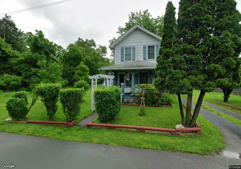
388 Braeside Ave East Stroudsburg, PA 18301
Estimated Value: $171,844 - $197,000
2
Beds
1
Bath
736
Sq Ft
$252/Sq Ft
Est. Value
About This Home
This home is located at 388 Braeside Ave, East Stroudsburg, PA 18301 and is currently estimated at $185,461, approximately $251 per square foot. 388 Braeside Ave is a home located in Monroe County with nearby schools including J.M. Hill Elementary School, J.T. Lambert Intermediate School, and East Stroudsburg Senior High School South.
Ownership History
Date
Name
Owned For
Owner Type
Purchase Details
Closed on
Nov 16, 2019
Sold by
Davis Anthony C and Miller Tonya
Bought by
Commonwealth Of Pennsylvania and Department Of Transportation
Current Estimated Value
Purchase Details
Closed on
May 29, 2018
Sold by
Davis Anthony C
Bought by
Davis Anthony C and Miller Tonya
Purchase Details
Closed on
Feb 28, 1977
Bought by
Davis Anthony C and Davis Deborah
Create a Home Valuation Report for This Property
The Home Valuation Report is an in-depth analysis detailing your home's value as well as a comparison with similar homes in the area
Home Values in the Area
Average Home Value in this Area
Purchase History
| Date | Buyer | Sale Price | Title Company |
|---|---|---|---|
| Commonwealth Of Pennsylvania | -- | None Available | |
| Davis Anthony C | -- | None Available | |
| Davis Anthony C | $20,900 | -- |
Source: Public Records
Tax History Compared to Growth
Tax History
| Year | Tax Paid | Tax Assessment Tax Assessment Total Assessment is a certain percentage of the fair market value that is determined by local assessors to be the total taxable value of land and additions on the property. | Land | Improvement |
|---|---|---|---|---|
| 2025 | $949 | $71,020 | $24,240 | $46,780 |
| 2024 | $734 | $71,020 | $24,240 | $46,780 |
| 2023 | $2,795 | $71,020 | $24,240 | $46,780 |
| 2022 | $2,780 | $71,020 | $24,240 | $46,780 |
| 2021 | $2,692 | $71,020 | $24,240 | $46,780 |
| 2020 | $2,288 | $71,020 | $24,240 | $46,780 |
| 2019 | $2,456 | $10,880 | $3,470 | $7,410 |
| 2018 | $2,456 | $10,880 | $3,470 | $7,410 |
| 2017 | $2,439 | $10,880 | $3,470 | $7,410 |
| 2016 | $493 | $10,880 | $3,470 | $7,410 |
| 2015 | $1,558 | $10,880 | $3,470 | $7,410 |
| 2014 | $1,558 | $10,880 | $3,470 | $7,410 |
Source: Public Records
Map
Nearby Homes
- 124 Eaglesmere Cir Unit 20
- 120 Ridgeway St
- 112 Ridgeway St
- 145 Prospect St
- 277 S Courtland St
- 9 Fairview St
- 120 Stokes Ave
- 25 N 2nd St
- 116 Lee Ave
- 319 Collins St
- 3154 Godfrey Ridge Dr
- 110 Kraemer Ave
- 58 Broad St
- 507 Thomas St
- 52 S Green St
- 515 Bryant St
- 607 Thomas St
- 204 Analomink St
- 19 Smith St
- 712 Scott St
- 385 Braeside Ave
- 0 Braeside Ave
- 365 Braeside Ave
- 425 Brodhead Ave
- 367 Braeside Ave
- 419 Brodhead Ave
- 364 Braeside Ave
- 363 Braeside Ave
- 361 Braeside Ave
- 411 Brodhead Ave
- 355 Braeside Ave
- 358 Braeside Ave
- S Forge Rd
- 0 Forge Rd
- 380 Brodhead Ave
- 356 Braeside Ave
- 357 Braeside Ave Unit 357
- 351 Braeside Ave
- 353 Braeside Ave
- 393 Brodhead Ave