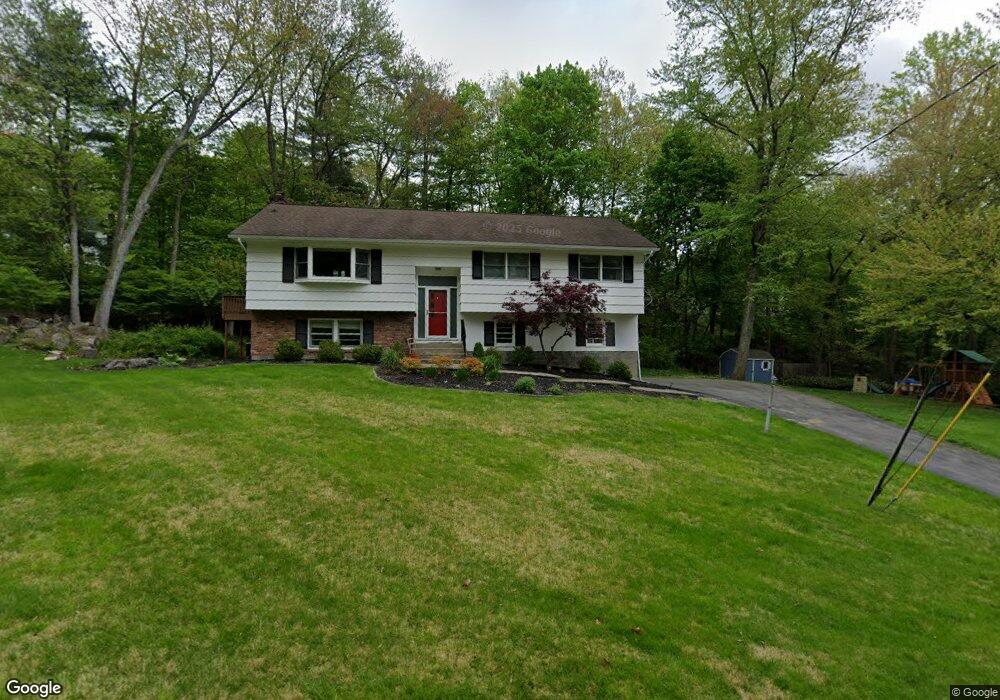
388 Cedar Dr W Briarcliff Manor, NY 10510
Estimated Value: $1,011,000 - $1,174,000
3
Beds
3
Baths
1,735
Sq Ft
$631/Sq Ft
Est. Value
About This Home
This home is located at 388 Cedar Dr W, Briarcliff Manor, NY 10510 and is currently estimated at $1,095,165, approximately $631 per square foot. 388 Cedar Dr W is a home located in Westchester County with nearby schools including Todd Elementary School, Briarcliff Middle School, and Briarcliff High School.
Ownership History
Date
Name
Owned For
Owner Type
Purchase Details
Closed on
Jul 29, 2020
Sold by
Morris Sandra L and Morris Dorothy E
Bought by
Lennon Steven
Current Estimated Value
Home Financials for this Owner
Home Financials are based on the most recent Mortgage that was taken out on this home.
Original Mortgage
$510,000
Outstanding Balance
$453,241
Interest Rate
3.1%
Mortgage Type
New Conventional
Estimated Equity
$641,924
Purchase Details
Closed on
Nov 10, 2000
Sold by
Gncl Associates Inc
Bought by
Morris Laura S
Create a Home Valuation Report for This Property
The Home Valuation Report is an in-depth analysis detailing your home's value as well as a comparison with similar homes in the area
Home Values in the Area
Average Home Value in this Area
Purchase History
| Date | Buyer | Sale Price | Title Company |
|---|---|---|---|
| Lennon Steven | $675,000 | Thoroughbred Title Svcs Llc | |
| Morris Laura S | $139,900 | -- |
Source: Public Records
Mortgage History
| Date | Status | Borrower | Loan Amount |
|---|---|---|---|
| Open | Lennon Steven | $510,000 |
Source: Public Records
Tax History Compared to Growth
Tax History
| Year | Tax Paid | Tax Assessment Tax Assessment Total Assessment is a certain percentage of the fair market value that is determined by local assessors to be the total taxable value of land and additions on the property. | Land | Improvement |
|---|---|---|---|---|
| 2024 | $21,935 | $829,400 | $437,200 | $392,200 |
| 2023 | $20,698 | $765,100 | $437,200 | $327,900 |
| 2022 | $20,476 | $687,900 | $437,200 | $250,700 |
| 2021 | $19,881 | $642,900 | $437,200 | $205,700 |
| 2020 | $16,358 | $642,900 | $437,200 | $205,700 |
| 2019 | $16,415 | $582,600 | $437,200 | $145,400 |
| 2018 | $20,549 | $582,600 | $437,200 | $145,400 |
| 2017 | $10,064 | $582,600 | $437,200 | $145,400 |
| 2016 | $187,432 | $565,700 | $437,230 | $128,470 |
| 2015 | $10,559 | $30,720 | $10,900 | $19,820 |
| 2014 | $10,559 | $30,720 | $10,900 | $19,820 |
| 2013 | $10,559 | $30,720 | $10,900 | $19,820 |
Source: Public Records
Map
Nearby Homes
- 320 Cedar Dr W
- 417 Long Hill Rd E
- 620 Sleepy Hollow Rd
- 6 Greenwood Ct
- 345 Elm Rd
- 858 Pleasantville Rd
- 24 Sleepy Hollow Rd
- 518 Pleasantville Rd
- 10 Shadow Tree Ln
- 134 Dalmeny Rd
- 37 Tulip Rd
- 842 Sleepy Hollow Rd
- 409 Central Dr
- 27 Hardscrabble Rd
- 3 Holbrook Rd
- 39 Admiral Wordens Ln
- 7 Dunn Ln
- 177 Old Briarcliff Rd
- 134 Pleasantville Rd
- 51 Choate Ln
- 28 Walnut Place
- 370 Cedar Dr W
- 404 Cedar Dr W
- 383 Cedar Dr W
- 9 Walnut Place
- 23 Walnut Place
- 38 Walnut Place
- 371 Cedar Dr W
- 350 Cedar Dr W
- 407 Cedar Dr W
- 33 Walnut Place
- 416 Cedar Dr W
- 359 Cedar Dr W
- 332 Cedar Dr W
- 27 Juniper Place
- 30 Frame Rd
- 349 Cedar Dr W
- 46 Walnut Place
- 419 Cedar Dr W
- 292 Long Hill Rd E