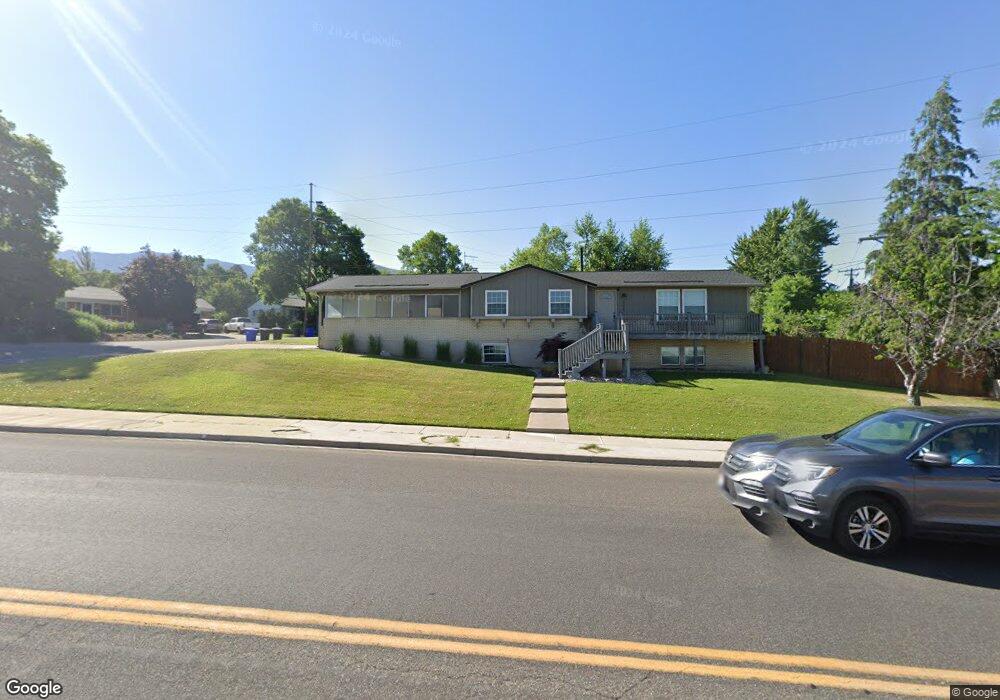
388 E 1800 S Bountiful, UT 84010
Estimated Value: $528,000 - $566,000
2
Beds
2
Baths
2,277
Sq Ft
$240/Sq Ft
Est. Value
About This Home
This home is located at 388 E 1800 S, Bountiful, UT 84010 and is currently estimated at $546,356, approximately $239 per square foot. 388 E 1800 S is a home located in Davis County with nearby schools including Muir School, Mueller Park Junior High School, and Bountiful High School.
Ownership History
Date
Name
Owned For
Owner Type
Purchase Details
Closed on
Mar 28, 2002
Sold by
Mollerup Darlene Davis
Bought by
Price Michael T and Price Danielle G
Current Estimated Value
Home Financials for this Owner
Home Financials are based on the most recent Mortgage that was taken out on this home.
Original Mortgage
$144,728
Outstanding Balance
$59,520
Interest Rate
6.84%
Mortgage Type
FHA
Estimated Equity
$486,836
Purchase Details
Closed on
Oct 10, 1997
Sold by
Davis Bess and Davis Thos E
Bought by
Davis Thomas Charles
Purchase Details
Closed on
Oct 24, 1996
Sold by
Davis Bess
Bought by
Davis Bess and Davis Thos E
Create a Home Valuation Report for This Property
The Home Valuation Report is an in-depth analysis detailing your home's value as well as a comparison with similar homes in the area
Purchase History
| Date | Buyer | Sale Price | Title Company |
|---|---|---|---|
| Price Michael T | -- | Backman Stewart Title Servic | |
| Davis Thomas Charles | -- | -- | |
| Davis Bess | -- | -- |
Source: Public Records
Mortgage History
| Date | Status | Borrower | Loan Amount |
|---|---|---|---|
| Open | Price Michael T | $144,728 |
Source: Public Records
Tax History
| Year | Tax Paid | Tax Assessment Tax Assessment Total Assessment is a certain percentage of the fair market value that is determined by local assessors to be the total taxable value of land and additions on the property. | Land | Improvement |
|---|---|---|---|---|
| 2025 | $2,495 | $246,950 | $103,502 | $143,448 |
| 2024 | $2,373 | $238,700 | $93,375 | $145,325 |
| 2023 | $2,276 | $414,000 | $213,727 | $200,273 |
| 2022 | $2,417 | $240,900 | $116,436 | $124,464 |
| 2021 | $2,154 | $329,000 | $152,426 | $176,574 |
| 2020 | $1,878 | $290,000 | $129,729 | $160,271 |
| 2019 | $1,904 | $287,000 | $133,801 | $153,199 |
| 2018 | $1,745 | $260,000 | $131,084 | $128,916 |
| 2016 | $1,518 | $122,540 | $50,560 | $71,980 |
| 2015 | $1,511 | $111,100 | $50,560 | $60,540 |
| 2014 | $1,503 | $117,302 | $50,560 | $66,742 |
| 2013 | -- | $112,837 | $41,360 | $71,477 |
Source: Public Records
Map
Nearby Homes
- 1853 Jeri Dr
- 2059 S 350 E Unit 6
- 439 E 1650 S
- 2038 S 350 E Unit 3
- 295 E 2050 S Unit 1
- 1885 Spring Creek Dr
- 2046 S 350 E Unit 4
- 296 E 2050 S Unit 2
- 631 E 1700 S
- 320 E 2100 S
- 1761 S Davis Blvd
- 2064 S Orchard Dr
- 2170 Orchard Pines Loop E
- 721 E 1950 S
- 1820 S 50 W
- 1240 Westwood Rd
- 110 2250 S
- 1195 S Orchard Dr
- 41 E 2200 S
- 221 E 2450 S
- 1826 S 400 E
- 1827 S 350 E
- 1834 S 400 E
- 1837 S 350 E
- 1827 S 400 E
- 1837 S 400 E
- 420 E 1800 S
- 1856 S 400 E
- 316 E 1850 S Unit 22
- 316 E 1850 S Unit 21
- 316 E 1850 S Unit 16
- 1847 S 400 E
- 1855 S 350 E
- 1870 S 400 E
- 1885 S 350 E
- 1830 S 350 E
- 1857 S 400 E
- 285 E 1850 S Unit 48
- 285 E 1850 S Unit 46
- 285 E 1850 S Unit 47
Your Personal Tour Guide
Ask me questions while you tour the home.