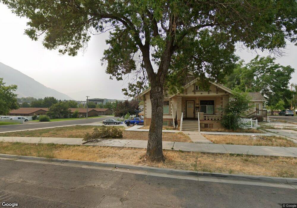
388 E 500 S Provo, UT 84606
Provost NeighborhoodEstimated Value: $712,000 - $731,000
7
Beds
4
Baths
4,255
Sq Ft
$169/Sq Ft
Est. Value
About This Home
This home is located at 388 E 500 S, Provo, UT 84606 and is currently estimated at $718,666, approximately $168 per square foot. 388 E 500 S is a home located in Utah County with nearby schools including Provo Peaks School, Centennial Middle School, and Timpview High School.
Ownership History
Date
Name
Owned For
Owner Type
Purchase Details
Closed on
Feb 26, 2016
Sold by
Jackson Md Scott Taylor and Jackson Ruthane
Bought by
Kemp Parker J and Kemp Elizabeth A
Current Estimated Value
Home Financials for this Owner
Home Financials are based on the most recent Mortgage that was taken out on this home.
Original Mortgage
$325,000
Outstanding Balance
$259,521
Interest Rate
3.92%
Mortgage Type
Commercial
Estimated Equity
$459,145
Purchase Details
Closed on
Nov 21, 2003
Sold by
Hale Forrest H and Hale Melinda B
Bought by
Kemp Parker J and Kemp Elizabeth A
Purchase Details
Closed on
Nov 4, 1998
Sold by
Hale Forrest Brent and Hale Maren Hardy
Bought by
Hale Forrest H and Hale Melinda B
Home Financials for this Owner
Home Financials are based on the most recent Mortgage that was taken out on this home.
Original Mortgage
$116,950
Interest Rate
9.65%
Mortgage Type
Commercial
Create a Home Valuation Report for This Property
The Home Valuation Report is an in-depth analysis detailing your home's value as well as a comparison with similar homes in the area
Home Values in the Area
Average Home Value in this Area
Purchase History
| Date | Buyer | Sale Price | Title Company |
|---|---|---|---|
| Kemp Parker J | -- | Founders Title Co | |
| Kemp Parker J | -- | Title West Title Company | |
| Hale Forrest H | -- | Fidelity Land & Title |
Source: Public Records
Mortgage History
| Date | Status | Borrower | Loan Amount |
|---|---|---|---|
| Open | Kemp Parker J | $325,000 | |
| Previous Owner | Hale Forrest H | $116,950 |
Source: Public Records
Tax History
| Year | Tax Paid | Tax Assessment Tax Assessment Total Assessment is a certain percentage of the fair market value that is determined by local assessors to be the total taxable value of land and additions on the property. | Land | Improvement |
|---|---|---|---|---|
| 2025 | $3,660 | $331,595 | -- | -- |
| 2024 | $3,660 | $360,250 | $0 | $0 |
| 2023 | $3,676 | $356,675 | $0 | $0 |
| 2022 | $3,472 | $339,680 | $0 | $0 |
| 2021 | $2,895 | $494,100 | $172,900 | $321,200 |
| 2020 | $2,758 | $441,200 | $154,400 | $286,800 |
| 2019 | $2,467 | $410,400 | $134,900 | $275,500 |
| 2018 | $2,115 | $356,900 | $189,400 | $167,500 |
| 2017 | $2,045 | $189,640 | $0 | $0 |
| 2016 | $1,867 | $161,370 | $0 | $0 |
| 2015 | $1,679 | $146,685 | $0 | $0 |
| 2014 | $1,439 | $131,065 | $0 | $0 |
Source: Public Records
Map
Nearby Homes
Your Personal Tour Guide
Ask me questions while you tour the home.