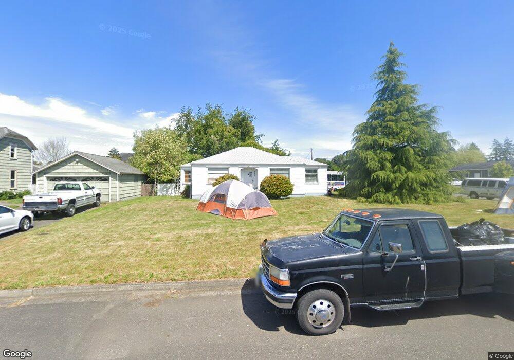
388 E St Blaine, WA 98230
Estimated Value: $402,000 - $438,000
3
Beds
2
Baths
1,142
Sq Ft
$372/Sq Ft
Est. Value
About This Home
This home is located at 388 E St, Blaine, WA 98230 and is currently estimated at $424,781, approximately $371 per square foot. 388 E St is a home located in Whatcom County with nearby schools including Blaine Primary School, Blaine Elementary School, and Blaine Middle School.
Ownership History
Date
Name
Owned For
Owner Type
Purchase Details
Closed on
Jun 19, 2024
Sold by
Canaan Patricia I
Bought by
Patricia I Canaan Living Trust and Jones
Current Estimated Value
Purchase Details
Closed on
Nov 6, 2002
Sold by
Sand Larry and Sand John
Bought by
Canaan Milton L and Canaan Patricia I
Home Financials for this Owner
Home Financials are based on the most recent Mortgage that was taken out on this home.
Original Mortgage
$69,680
Interest Rate
6%
Create a Home Valuation Report for This Property
The Home Valuation Report is an in-depth analysis detailing your home's value as well as a comparison with similar homes in the area
Purchase History
| Date | Buyer | Sale Price | Title Company |
|---|---|---|---|
| Patricia I Canaan Living Trust | $313 | None Listed On Document | |
| Canaan Milton L | $87,100 | Chicago Title Insurance |
Source: Public Records
Mortgage History
| Date | Status | Borrower | Loan Amount |
|---|---|---|---|
| Previous Owner | Canaan Milton L | $69,680 |
Source: Public Records
Tax History
| Year | Tax Paid | Tax Assessment Tax Assessment Total Assessment is a certain percentage of the fair market value that is determined by local assessors to be the total taxable value of land and additions on the property. | Land | Improvement |
|---|---|---|---|---|
| 2025 | $2,429 | $360,072 | $145,743 | $214,329 |
| 2024 | $2,402 | $356,506 | $144,300 | $212,206 |
| 2023 | $2,402 | $356,506 | $144,300 | $212,206 |
| 2022 | $2,255 | $321,177 | $130,000 | $191,177 |
| 2021 | $2,151 | $258,423 | $107,341 | $151,082 |
| 2020 | $2,047 | $224,715 | $93,340 | $131,375 |
| 2019 | $1,906 | $205,780 | $85,475 | $120,305 |
| 2018 | $1,771 | $187,002 | $77,675 | $109,327 |
| 2017 | $1,579 | $156,487 | $65,000 | $91,487 |
| 2016 | $1,433 | $156,487 | $65,000 | $91,487 |
| 2015 | $1,404 | $137,005 | $55,204 | $81,801 |
| 2014 | -- | $131,109 | $52,828 | $78,281 |
| 2013 | -- | $129,678 | $52,250 | $77,428 |
Source: Public Records
Map
Nearby Homes
- 456 D St
- 319 6th St
- 240 G St
- 652 H St
- 241 9th St
- 978 Peace Portal Dr
- 954 Garfield Ave
- 259 11th St
- 1061 Peace Portal Dr Unit 6
- 0 xxx H St
- 452 11th St
- 1116 Peace Portal Dr
- 1260 Harrison Ave
- 369 14th St
- 1300 Peace Portal Dr Unit 106
- 1301 Mitchell Ave
- 850 Ludwick Ave
- 4475 D St
- 1625 Bayview Ave
- 811 Odell St
Your Personal Tour Guide
Ask me questions while you tour the home.