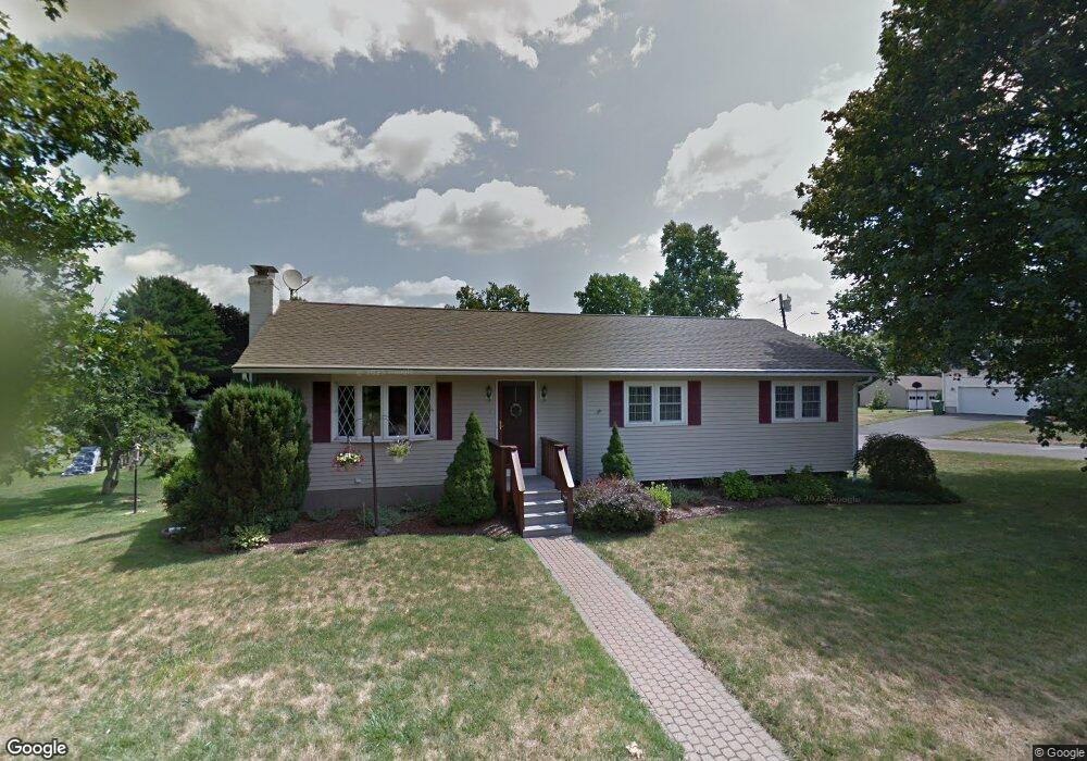
388 Farm Hill Rd Middletown, CT 06457
Estimated Value: $346,000 - $355,890
3
Beds
3
Baths
1,302
Sq Ft
$271/Sq Ft
Est. Value
About This Home
This home is located at 388 Farm Hill Rd, Middletown, CT 06457 and is currently estimated at $352,723, approximately $270 per square foot. 388 Farm Hill Rd is a home located in Middlesex County with nearby schools including Farm Hill School, Middletown High School, and St John Paul II School.
Ownership History
Date
Name
Owned For
Owner Type
Purchase Details
Closed on
Nov 24, 1998
Sold by
Curkin Harold and Curkin Katherine A
Bought by
Wilcox Lawrence E and Wilcox Dianne M
Current Estimated Value
Home Financials for this Owner
Home Financials are based on the most recent Mortgage that was taken out on this home.
Original Mortgage
$92,000
Outstanding Balance
$19,905
Interest Rate
6.49%
Estimated Equity
$332,818
Create a Home Valuation Report for This Property
The Home Valuation Report is an in-depth analysis detailing your home's value as well as a comparison with similar homes in the area
Home Values in the Area
Average Home Value in this Area
Purchase History
| Date | Buyer | Sale Price | Title Company |
|---|---|---|---|
| Wilcox Lawrence E | $115,000 | -- |
Source: Public Records
Mortgage History
| Date | Status | Borrower | Loan Amount |
|---|---|---|---|
| Open | Wilcox Lawrence E | $92,000 |
Source: Public Records
Tax History Compared to Growth
Tax History
| Year | Tax Paid | Tax Assessment Tax Assessment Total Assessment is a certain percentage of the fair market value that is determined by local assessors to be the total taxable value of land and additions on the property. | Land | Improvement |
|---|---|---|---|---|
| 2025 | $5,918 | $159,890 | $62,770 | $97,120 |
| 2024 | $5,662 | $159,890 | $62,770 | $97,120 |
| 2023 | $5,374 | $159,890 | $62,770 | $97,120 |
| 2022 | $4,785 | $115,980 | $41,850 | $74,130 |
| 2021 | $6,031 | $115,980 | $41,850 | $74,130 |
| 2020 | $5,923 | $115,980 | $41,850 | $74,130 |
| 2019 | $5,824 | $115,980 | $41,850 | $74,130 |
| 2018 | $5,233 | $131,530 | $41,850 | $89,680 |
| 2017 | $4,955 | $128,090 | $48,030 | $80,060 |
| 2016 | $4,855 | $128,090 | $48,030 | $80,060 |
| 2015 | $4,748 | $128,090 | $48,030 | $80,060 |
| 2014 | $4,743 | $128,090 | $48,030 | $80,060 |
Source: Public Records
Map
Nearby Homes
- 347 Farm Hill Rd
- 0 Arbutus St Unit 24065180
- 50 Garfield Ave
- 77 Lindsey Rd
- 55 Lorelei Cir
- 10 Lorelei Cir
- 498 Pine St
- 66 Durant Terrace
- 73 Durant St
- 58 Durant Terrace
- 44 Trailside Crossing
- 1 Russell St Unit 15
- 1 Russell St Unit 11
- Lot 3 Coleman Rd
- 4 Hillside Ct
- 37 Front St
- 56 Bidwell Terrace
- 42 Saybrook Rd
- 17 Mckenna Dr
- 10 Wall St
- 239 Clover St
- 372 Farm Hill Rd
- 185 Clover St
- 393 Farm Hill Rd
- 391 Farm Hill Rd
- 190 Clover St
- 387 Farm Hill Rd
- 368 Farm Hill Rd
- 399 Farm Hill Rd
- 175 Clover St
- 69 Gowin Rd
- 414 Farm Hill Rd
- 414 Farm Hill Rd Unit RD
- 411 Farm Hill Rd
- 180 Clover St
- 354 Farm Hill Rd
- 355 Farm Hill Rd
- 165 Clover St
- 59 Gowin Rd
- 170 Clover St