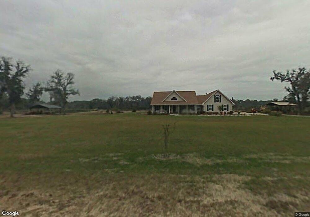
388 Lake No No Rd Midway, GA 31320
Estimated Value: $320,000 - $412,000
--
Bed
6
Baths
2,364
Sq Ft
$155/Sq Ft
Est. Value
About This Home
This home is located at 388 Lake No No Rd, Midway, GA 31320 and is currently estimated at $365,616, approximately $154 per square foot. 388 Lake No No Rd is a home located in Liberty County with nearby schools including Liberty Elementary School, Midway Middle School, and Liberty County High School.
Ownership History
Date
Name
Owned For
Owner Type
Purchase Details
Closed on
Aug 5, 2024
Sold by
Williams Ronald
Bought by
Wozniak Jeffrey D
Current Estimated Value
Home Financials for this Owner
Home Financials are based on the most recent Mortgage that was taken out on this home.
Original Mortgage
$490,000
Outstanding Balance
$484,540
Interest Rate
6.95%
Mortgage Type
New Conventional
Estimated Equity
-$118,924
Purchase Details
Closed on
Sep 4, 2018
Sold by
Cummings Scott J
Bought by
Williams Ronald and Williams Chelsea Morales
Home Financials for this Owner
Home Financials are based on the most recent Mortgage that was taken out on this home.
Original Mortgage
$331,987
Interest Rate
4.5%
Purchase Details
Closed on
Jul 21, 2000
Bought by
Cummings Scott J and Cummings J
Create a Home Valuation Report for This Property
The Home Valuation Report is an in-depth analysis detailing your home's value as well as a comparison with similar homes in the area
Home Values in the Area
Average Home Value in this Area
Purchase History
| Date | Buyer | Sale Price | Title Company |
|---|---|---|---|
| Wozniak Jeffrey D | $245,000 | -- | |
| Wozniak Jeffrey D | $245,000 | -- | |
| Williams Ronald | $325,000 | -- | |
| Cummings Scott J | $22,500 | -- |
Source: Public Records
Mortgage History
| Date | Status | Borrower | Loan Amount |
|---|---|---|---|
| Open | Wozniak Jeffrey D | $490,000 | |
| Previous Owner | Williams Ronald | $331,987 |
Source: Public Records
Tax History Compared to Growth
Tax History
| Year | Tax Paid | Tax Assessment Tax Assessment Total Assessment is a certain percentage of the fair market value that is determined by local assessors to be the total taxable value of land and additions on the property. | Land | Improvement |
|---|---|---|---|---|
| 2024 | $4,409 | $102,614 | $4,037 | $98,577 |
| 2023 | $4,409 | $90,654 | $4,037 | $86,617 |
| 2022 | $3,094 | $75,869 | $4,037 | $71,832 |
| 2021 | $2,852 | $69,832 | $4,037 | $65,795 |
| 2020 | $2,888 | $70,741 | $4,037 | $66,704 |
| 2019 | $2,848 | $71,568 | $4,037 | $67,531 |
| 2018 | $2,554 | $64,531 | $4,037 | $60,494 |
| 2017 | $2,149 | $65,267 | $4,037 | $61,230 |
| 2016 | $1,890 | $66,002 | $4,037 | $61,965 |
| 2015 | $2,606 | $65,889 | $3,924 | $61,965 |
| 2014 | $2,606 | $85,943 | $20,960 | $64,983 |
| 2013 | -- | $75,443 | $14,018 | $61,424 |
Source: Public Records
Map
Nearby Homes
- 0 Seabrook Ln Unit SA333136
- 42 Greenwood
- Lots 227-231 Greenwood
- 1411 Seabrook Island Dr
- 18 Wild Heron Dr
- 378 Myrtle Dr
- 93 2nd Ave
- 580 Dogwood Ln
- 87 Oak Dr
- 44 Caraway Ct
- 0 Oak Ct Unit 160688
- 0 Oak Ct
- 169 Blue Jay Dr
- 132 Caraway Ct
- 23 Sycamore Way
- 42 Kinlock Ct
- 11 Kinlock Ct
- 42 Autumn Rift Rd
- 0 Tideland Dr Unit 163173
- 0 Tideland Dr Unit SA333584
- 388 Lake No Rd
- 330 Lake No No Rd
- 330 Lake No No Rd
- 534 Lake No No Rd
- 213 Lake No No Rd
- XXX Lake No Rd
- 535 Lake No No Rd
- 217 Lake No No Rd
- 53 Pelican Cove Rd
- 194 Lake No No Rd
- 0 Pelican Cove Unit 41884
- 0 Pelican Cove Unit 81083
- 0 Pelican Cove Unit 83210
- 0 Pelican Cove Unit 118526
- 0 Pelican Cove Unit 137655
- 0 Pelican Cove Unit 178307
- 0 Pelican Cove Unit 40831
- 0 Pelican Cove Unit 38679
- 0 Pelican Cove Unit 208099
- 0 Pelican Cove Unit 208009