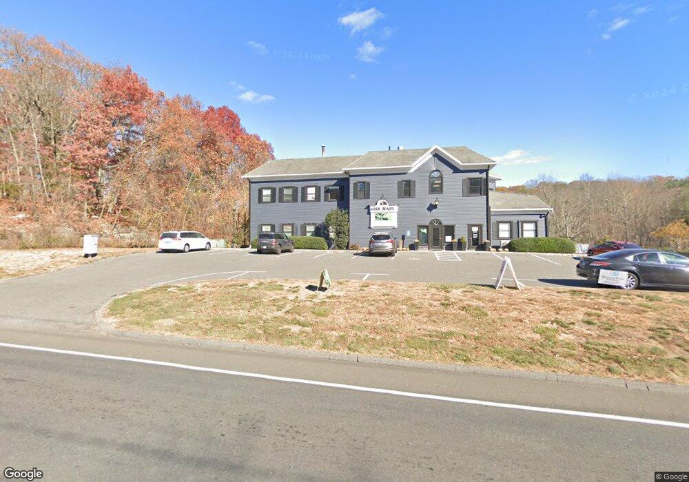
388 Main St Monroe, CT 06468
Estimated Value: $1,396,044
3
Beds
2
Baths
8,356
Sq Ft
$167/Sq Ft
Est. Value
About This Home
This home is located at 388 Main St, Monroe, CT 06468 and is currently estimated at $1,396,044, approximately $167 per square foot. 388 Main St is a home located in Fairfield County with nearby schools including Stepney Elementary School, Jockey Hollow Middle School, and Masuk High School.
Ownership History
Date
Name
Owned For
Owner Type
Purchase Details
Closed on
Dec 27, 2022
Sold by
388 Office Park Llc
Bought by
388 Main Monroe Llc
Current Estimated Value
Purchase Details
Closed on
Apr 30, 1998
Sold by
Antonico Joseph H and Marshall James W
Bought by
388 Main St Assoc Llc
Home Financials for this Owner
Home Financials are based on the most recent Mortgage that was taken out on this home.
Original Mortgage
$320,000
Interest Rate
7.04%
Mortgage Type
Commercial
Purchase Details
Closed on
Dec 22, 1992
Sold by
Gtt Corp
Bought by
Antonico Joseph and Marshall James
Home Financials for this Owner
Home Financials are based on the most recent Mortgage that was taken out on this home.
Original Mortgage
$125,000
Interest Rate
8.3%
Mortgage Type
Commercial
Create a Home Valuation Report for This Property
The Home Valuation Report is an in-depth analysis detailing your home's value as well as a comparison with similar homes in the area
Home Values in the Area
Average Home Value in this Area
Purchase History
| Date | Buyer | Sale Price | Title Company |
|---|---|---|---|
| 388 Main Monroe Llc | -- | None Available | |
| 388 Main Monroe Llc | -- | None Available | |
| 388 Main St Assoc Llc | $440,000 | -- | |
| 388 Main St Assoc Llc | $440,000 | -- | |
| Antonico Joseph | $500,000 | -- | |
| Antonico Joseph | $500,000 | -- |
Source: Public Records
Mortgage History
| Date | Status | Borrower | Loan Amount |
|---|---|---|---|
| Previous Owner | Antonico Joseph | $320,000 | |
| Previous Owner | Antonico Joseph | $125,000 |
Source: Public Records
Tax History Compared to Growth
Tax History
| Year | Tax Paid | Tax Assessment Tax Assessment Total Assessment is a certain percentage of the fair market value that is determined by local assessors to be the total taxable value of land and additions on the property. | Land | Improvement |
|---|---|---|---|---|
| 2025 | $13,799 | $481,310 | $183,610 | $297,700 |
| 2024 | $17,669 | $461,700 | $183,600 | $278,100 |
| 2023 | $17,337 | $461,700 | $183,600 | $278,100 |
| 2022 | $17,018 | $461,700 | $183,600 | $278,100 |
| 2021 | $9,579 | $461,700 | $183,600 | $278,100 |
| 2020 | $9,438 | $461,700 | $183,600 | $278,100 |
| 2019 | $11,670 | $328,000 | $240,100 | $87,900 |
| 2018 | $8,868 | $328,000 | $240,100 | $87,900 |
| 2017 | $8,736 | $328,000 | $240,100 | $87,900 |
| 2016 | $11,480 | $328,000 | $240,100 | $87,900 |
| 2015 | $11,267 | $328,000 | $240,100 | $87,900 |
| 2014 | $18,451 | $595,000 | $184,450 | $410,550 |
Source: Public Records
Map
Nearby Homes
- 26 Freedman Ln
- 30 Wintergreen Rd
- 302 Fairmount Dr Unit B
- 26 Edgehill Cir
- 73 Hannah Ln
- 24 Maple Terrace
- 41 Ridge Dale Rd
- 271 Hattertown Rd
- 33 Williams Rd
- 20 Blanket Meadow Rd
- 80 Woodlawn Rd
- 21 Field Rock Rd
- 12 Wiltan Dr
- 318 Purdy Hill Rd
- 41 Alpine Rd
- 60 Red Barn Rd
- 31 Country Ridge Dr
- 5299 Madison Ave
- 5288 Madison Ave
- 161 Jockey Hollow Rd