388 N Beach Rd Pentwater, MI 49449
Estimated Value: $501,000
--
Bed
--
Bath
--
Sq Ft
0.4
Acres
About This Home
This home is located at 388 N Beach Rd, Pentwater, MI 49449 and is currently estimated at $501,000. 388 N Beach Rd is a home with nearby schools including Pentwater Public School.
Ownership History
Date
Name
Owned For
Owner Type
Purchase Details
Closed on
Jul 16, 2024
Sold by
Cornish Alison
Bought by
Squatriti-Cornish Family Trust and Squatriti
Current Estimated Value
Purchase Details
Closed on
May 19, 2024
Sold by
Cornish Christine Ames and Cornish Judson E
Bought by
Cornish Alison
Purchase Details
Closed on
Apr 19, 2024
Sold by
Ames Damaris and Lloyd Peter
Bought by
Cornish Christine Ames
Purchase Details
Closed on
Jan 29, 2024
Sold by
Cornish Judson A
Bought by
Squatriti Cornish
Create a Home Valuation Report for This Property
The Home Valuation Report is an in-depth analysis detailing your home's value as well as a comparison with similar homes in the area
Home Values in the Area
Average Home Value in this Area
Purchase History
| Date | Buyer | Sale Price | Title Company |
|---|---|---|---|
| Squatriti-Cornish Family Trust | -- | None Listed On Document | |
| Cornish Alison | -- | None Listed On Document | |
| Cornish Christine Ames | -- | None Listed On Document | |
| Squatriti Cornish | $261,628 | Attorney Only | |
| Cornish Alison | -- | None Listed On Document |
Source: Public Records
Tax History Compared to Growth
Tax History
| Year | Tax Paid | Tax Assessment Tax Assessment Total Assessment is a certain percentage of the fair market value that is determined by local assessors to be the total taxable value of land and additions on the property. | Land | Improvement |
|---|---|---|---|---|
| 2025 | $6,061 | $413,100 | $413,100 | $0 |
| 2024 | $3,364 | $371,900 | $371,900 | $0 |
| 2023 | $5,497 | $332,700 | $332,700 | $0 |
| 2022 | $7,033 | $311,700 | $0 | $0 |
| 2021 | $6,845 | $318,600 | $318,600 | $0 |
| 2020 | $6,800 | $292,700 | $292,700 | $0 |
| 2019 | $6,652 | $281,700 | $0 | $0 |
| 2018 | $6,233 | $282,600 | $0 | $0 |
| 2017 | $6,233 | $285,200 | $0 | $0 |
| 2016 | -- | $277,100 | $0 | $0 |
| 2013 | -- | $270,100 | $0 | $0 |
Source: Public Records
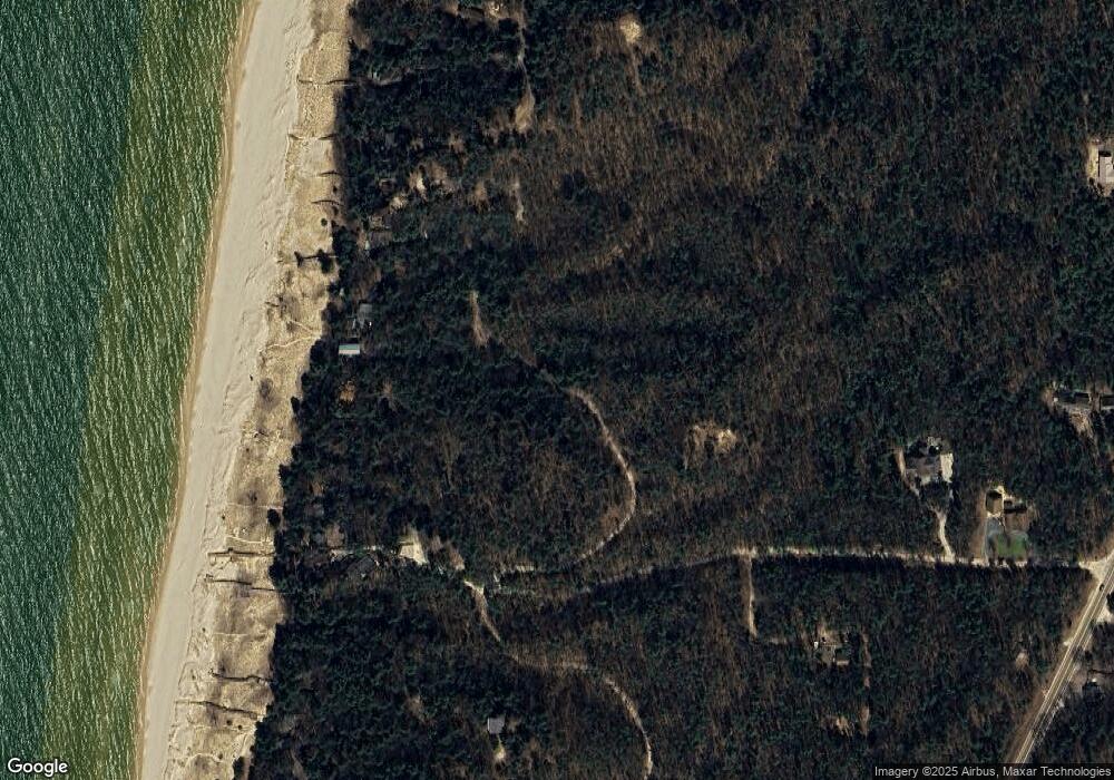
Map
Nearby Homes
- 921 N Hancock St
- 340 E Hanover St
- 559 Sands St
- 0 Morris St - Lot B Unit 25010940
- 0 Sands St - Lot A
- 0 Sands Street - Vacant
- vl 3rd Ave
- 90 S Clymer St
- 1112 2nd St
- 0 N 56th Ave Unit Parcel A 25010626
- 8705 W Oceana Dr
- 8641 N Perry Ave
- 517 S Wythe St
- 0 W Branch St
- 935 6th St
- 1209 6th St
- 5921 W Longbridge Rd
- 0 4 39 Acres Br Us 31
- 0 Longbridge Rd
- LOT 38 Longbridge Rd
- 354 N Beach Rd
- 440 N Beach Rd
- 310 N Beach Rd
- 270 N Beach St
- 234 N Beach Rd
- 170 N Beach Rd
- 8031 N Perry Ave
- 8047 N Perry Ave
- 0 Greenway Ln Unit M18026231
- 0 Greenway Ln Unit M20013321
- 0 Greenway Ln Unit D 71018026235
- 0 Greenway Ln Unit A 71018026229
- 0 Greenway Ln Unit 71020013321
- 0 Greenway Ln Unit 71020013322
- 0 Greenway Ln Unit 71018026232
- 0 Greenway Ln Unit 71018026231
- 0 Greenway Ln Unit D 20013322
- 0 Greenway Ln Unit A 20013321
- 0 Greenway Ln Unit C 18026232
- 0 Greenway Ln Unit A 18026229