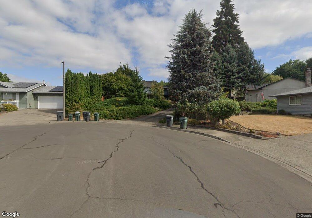
388 NW Jason Ct Hillsboro, OR 97124
West Hillsboro NeighborhoodEstimated Value: $473,000 - $613,109
3
Beds
3
Baths
2,840
Sq Ft
$201/Sq Ft
Est. Value
About This Home
This home is located at 388 NW Jason Ct, Hillsboro, OR 97124 and is currently estimated at $570,777, approximately $200 per square foot. 388 NW Jason Ct is a home located in Washington County with nearby schools including W Verne McKinney Elementary School, Evergreen Jr High School, and Glencoe High School.
Ownership History
Date
Name
Owned For
Owner Type
Purchase Details
Closed on
Dec 22, 2014
Sold by
The Secretary Of Veterans Affairs
Bought by
Lux David and Lux Jean
Current Estimated Value
Purchase Details
Closed on
Sep 9, 2014
Sold by
Wells Fargo Bank Na
Bought by
Secretary Of Veterans Affairs
Purchase Details
Closed on
Aug 28, 2014
Sold by
Macmillan Malcolm D and Macmillan Robin
Bought by
Wells Fargo Bank Na
Purchase Details
Closed on
May 15, 2009
Sold by
Corey Wilfred and Corey Helen A
Bought by
Macmillan Malcolm D and Macmillan Robin
Home Financials for this Owner
Home Financials are based on the most recent Mortgage that was taken out on this home.
Original Mortgage
$247,920
Interest Rate
4.71%
Mortgage Type
VA
Create a Home Valuation Report for This Property
The Home Valuation Report is an in-depth analysis detailing your home's value as well as a comparison with similar homes in the area
Home Values in the Area
Average Home Value in this Area
Purchase History
| Date | Buyer | Sale Price | Title Company |
|---|---|---|---|
| Lux David | $187,500 | First American | |
| Secretary Of Veterans Affairs | -- | None Available | |
| Wells Fargo Bank Na | $204,120 | None Available | |
| Macmillan Malcolm D | $240,000 | Fidelity Natl Title Co Of Or |
Source: Public Records
Mortgage History
| Date | Status | Borrower | Loan Amount |
|---|---|---|---|
| Previous Owner | Macmillan Malcolm D | $247,920 |
Source: Public Records
Tax History Compared to Growth
Tax History
| Year | Tax Paid | Tax Assessment Tax Assessment Total Assessment is a certain percentage of the fair market value that is determined by local assessors to be the total taxable value of land and additions on the property. | Land | Improvement |
|---|---|---|---|---|
| 2025 | $3,859 | $236,090 | -- | -- |
| 2024 | $3,749 | $229,220 | -- | -- |
| 2023 | $3,749 | $222,550 | $0 | $0 |
| 2022 | $3,648 | $222,550 | $0 | $0 |
| 2021 | $3,574 | $209,780 | $0 | $0 |
| 2020 | $3,497 | $203,670 | $0 | $0 |
| 2019 | $3,397 | $197,740 | $0 | $0 |
| 2018 | $3,252 | $191,990 | $0 | $0 |
| 2017 | $3,134 | $186,400 | $0 | $0 |
| 2016 | $3,048 | $180,980 | $0 | $0 |
| 2015 | $2,925 | $175,710 | $0 | $0 |
| 2014 | $2,909 | $170,600 | $0 | $0 |
Source: Public Records
Map
Nearby Homes
- 1055 NW Jackson St
- 932 NW Garibaldi St
- 202 NW Quail Gardens Place
- 437 NW Freeman Ave
- 1195 NW Garibaldi St
- 456 NW Dennis Ave
- 457 NW Forest St
- 711 NW Connell Ave
- 1079 NW Alma Ct
- 865 NW Val Ct
- 154 NW Garibaldi St
- 635 NW Queens Ct
- 856 NW Val Ct
- 660 NW Ledum Ln
- 923 NW Brookhill St
- 807 NW Brookhill St
- 342 SW Oak St
- 341 NE 3rd Ave
- 528 NW Celtis Ln
- 665 NE 3rd Ave
- 1020 NW Rachel St
- 384 NW Jason Ct
- 382 NW Jason Ct
- 381 NW Jason Ct
- 1004 NW Rachel St
- 386 NW Jason Ct
- 1030 NW Rachel St
- 376 NW Jason Ct
- 365 NW Jason Ct
- 379 NW Treglown Ct
- 450 NW Yonia Ct
- 1050 NW Rachel St
- 377 NW Treglown Ct
- 988 NW Garibaldi St
- 362 NW Jason Ct
- 1005 NW Rachel St
- 357 NW Jason Ct
- 1051 NW Jackson St
- 1037 NW Rachel St
- 451 NW Yonia Ct