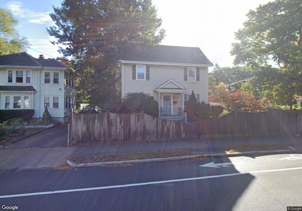
388 Parker St Unit 390 Newton Center, MA 02459
Thompsonville NeighborhoodEstimated Value: $1,471,000 - $1,726,000
5
Beds
3
Baths
2,729
Sq Ft
$573/Sq Ft
Est. Value
About This Home
This home is located at 388 Parker St Unit 390, Newton Center, MA 02459 and is currently estimated at $1,562,774, approximately $572 per square foot. 388 Parker St Unit 390 is a home located in Middlesex County with nearby schools including Countryside Elementary School, Bowen School, and Charles E Brown Middle School.
Ownership History
Date
Name
Owned For
Owner Type
Purchase Details
Closed on
Mar 25, 2016
Sold by
Obrien Timothy R and Obrien Nancy E
Bought by
Parker Street Rt
Current Estimated Value
Purchase Details
Closed on
Aug 9, 2001
Sold by
Trainin Vladimir and Trainin Anastasia L
Bought by
Obrien Timothy R and Obrien Nancy E
Home Financials for this Owner
Home Financials are based on the most recent Mortgage that was taken out on this home.
Original Mortgage
$470,900
Interest Rate
7.1%
Mortgage Type
Purchase Money Mortgage
Purchase Details
Closed on
May 28, 1991
Sold by
Schry James L
Bought by
Trainin Vladimir and Trainin Anastasia L
Create a Home Valuation Report for This Property
The Home Valuation Report is an in-depth analysis detailing your home's value as well as a comparison with similar homes in the area
Home Values in the Area
Average Home Value in this Area
Purchase History
| Date | Buyer | Sale Price | Title Company |
|---|---|---|---|
| Parker Street Rt | -- | -- | |
| Obrien Timothy R | $554,000 | -- | |
| Trainin Vladimir | $196,500 | -- | |
| Schry James L | $196,500 | -- |
Source: Public Records
Mortgage History
| Date | Status | Borrower | Loan Amount |
|---|---|---|---|
| Previous Owner | Schry James L | $470,900 | |
| Previous Owner | Schry James L | $73,000 |
Source: Public Records
Tax History Compared to Growth
Tax History
| Year | Tax Paid | Tax Assessment Tax Assessment Total Assessment is a certain percentage of the fair market value that is determined by local assessors to be the total taxable value of land and additions on the property. | Land | Improvement |
|---|---|---|---|---|
| 2025 | $11,736 | $1,197,600 | $737,200 | $460,400 |
| 2024 | $11,348 | $1,162,700 | $715,700 | $447,000 |
| 2023 | $11,103 | $1,090,700 | $577,000 | $513,700 |
| 2022 | $10,624 | $1,009,900 | $534,300 | $475,600 |
| 2021 | $9,969 | $926,500 | $490,200 | $436,300 |
| 2020 | $9,673 | $926,500 | $490,200 | $436,300 |
| 2019 | $9,049 | $865,900 | $458,100 | $407,800 |
| 2018 | $9,241 | $854,100 | $432,400 | $421,700 |
| 2017 | $8,714 | $783,600 | $396,700 | $386,900 |
| 2016 | $8,181 | $718,900 | $363,900 | $355,000 |
| 2015 | $7,801 | $671,900 | $340,100 | $331,800 |
Source: Public Records
Map
Nearby Homes
- 45 Brandeis Rd
- 19 Selwyn Rd
- 24 Parker Ave
- 250 Woodcliff Rd
- 36 Cannon St
- 21 Philbrick Rd
- 87 Parker Ave
- 628 Boylston St
- 151 Woodcliff Rd
- 625 Boylston St
- 671 Boylston St Unit 671
- 671 Boylston St
- 125 Oakdale Rd
- 15 Buff Cir
- 58 Country Club Rd
- 42 Sunhill Ln
- 1308 Walnut St
- 415 Dedham St Unit D
- 65 Levbert Rd
- 85 Dudley Rd
- 388-390 Parker St
- 384 Parker St Unit 386
- 386 Parker St Unit 386
- 384 Parker St Unit 384
- 12 Roosevelt Rd
- 398 Parker St
- 16 Roosevelt Rd
- 16 Roosevelt Rd Unit 4
- 380 Parker St
- 11 Roosevelt Rd
- 402 Parker St
- 402 Parker St
- 402 Parker St Unit 402
- 402 Parker St Unit 1
- 385 Parker St
- 393 Parker St Unit 395
- 22 Roosevelt Rd
- 15 Roosevelt Rd
- 6 Truman Rd
- 408 Parker St Unit 410