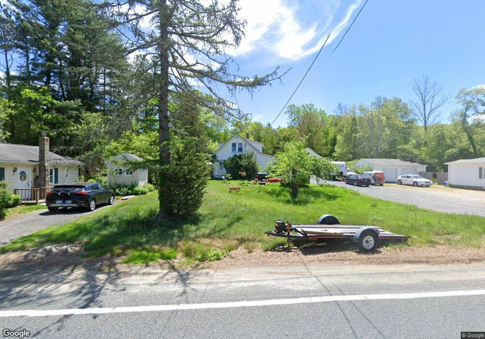
388 Rockland Rd North Scituate, RI 02857
Estimated Value: $417,566 - $511,000
5
Beds
2
Baths
1,338
Sq Ft
$349/Sq Ft
Est. Value
About This Home
This home is located at 388 Rockland Rd, North Scituate, RI 02857 and is currently estimated at $467,392, approximately $349 per square foot. 388 Rockland Rd is a home located in Providence County with nearby schools including North Scituate School, Scituate Middle School, and Scituate High School.
Ownership History
Date
Name
Owned For
Owner Type
Purchase Details
Closed on
Mar 13, 2001
Sold by
Robertson Real Estate
Bought by
Sartini Charles
Current Estimated Value
Home Financials for this Owner
Home Financials are based on the most recent Mortgage that was taken out on this home.
Original Mortgage
$146,718
Interest Rate
7.15%
Create a Home Valuation Report for This Property
The Home Valuation Report is an in-depth analysis detailing your home's value as well as a comparison with similar homes in the area
Home Values in the Area
Average Home Value in this Area
Purchase History
| Date | Buyer | Sale Price | Title Company |
|---|---|---|---|
| Sartini Charles | $148,000 | -- |
Source: Public Records
Mortgage History
| Date | Status | Borrower | Loan Amount |
|---|---|---|---|
| Open | Sartini Charles | $139,000 | |
| Closed | Sartini Charles | $176,000 | |
| Closed | Sartini Charles | $146,376 | |
| Closed | Sartini Charles | $146,718 |
Source: Public Records
Tax History Compared to Growth
Tax History
| Year | Tax Paid | Tax Assessment Tax Assessment Total Assessment is a certain percentage of the fair market value that is determined by local assessors to be the total taxable value of land and additions on the property. | Land | Improvement |
|---|---|---|---|---|
| 2025 | $4,852 | $280,000 | $123,100 | $156,900 |
| 2024 | $4,852 | $280,000 | $123,100 | $156,900 |
| 2023 | $4,693 | $280,000 | $123,100 | $156,900 |
| 2022 | $4,586 | $280,000 | $123,100 | $156,900 |
| 2021 | $4,080 | $218,300 | $105,200 | $113,100 |
| 2020 | $3,988 | $218,300 | $105,200 | $113,100 |
| 2019 | $3,905 | $218,300 | $105,200 | $113,100 |
| 2018 | $3,876 | $199,900 | $96,500 | $103,400 |
| 2017 | $3,762 | $199,900 | $96,500 | $103,400 |
| 2016 | $3,606 | $199,900 | $96,500 | $103,400 |
| 2015 | $3,476 | $181,400 | $82,600 | $98,800 |
| 2014 | $3,443 | $181,400 | $82,600 | $98,800 |
Source: Public Records
Map
Nearby Homes
- 109 Gentry Way
- 30 Ashland Rd
- 737 Danielson Pike
- 0 Dexter Rd
- 20 Gleaner Chapel Rd
- 785 Danielson Pike
- 34 Highland Terrace
- 607 Elmdale Rd
- 58 Highland Terrace
- 0 Quaker Ln
- 1101 Danielson Pike
- 261 Quaker Ln
- 196 William Henry Rd
- 955 Chopmist Hill Rd
- 0 Danielson Pike Unit 1347736
- 0 Country View Ln
- 20 Country View Ln
- 0 Byron Randall Rd
- 1224 Hartford Pike
- 1240 Hartford Pike
- 384 Rockland Rd
- 392 Rockland Rd
- 0 Rockland Rd
- 382 Rockland Rd
- 385 Rockland Rd
- 400 Rockland Rd
- 374 Rockland Rd
- 379 Rockland Rd
- 395 Rockland Rd
- 393 Rockland Rd
- 371 Rockland Rd
- 408 Rockland Rd
- 366 Rockland Rd
- 363 Rockland Rd
- 415 Rockland Rd
- 362 Rockland Rd
- 410 Rockland Rd
- 359 Rockland Rd
- 412 Rockland Rd
- 351 Rockland Rd