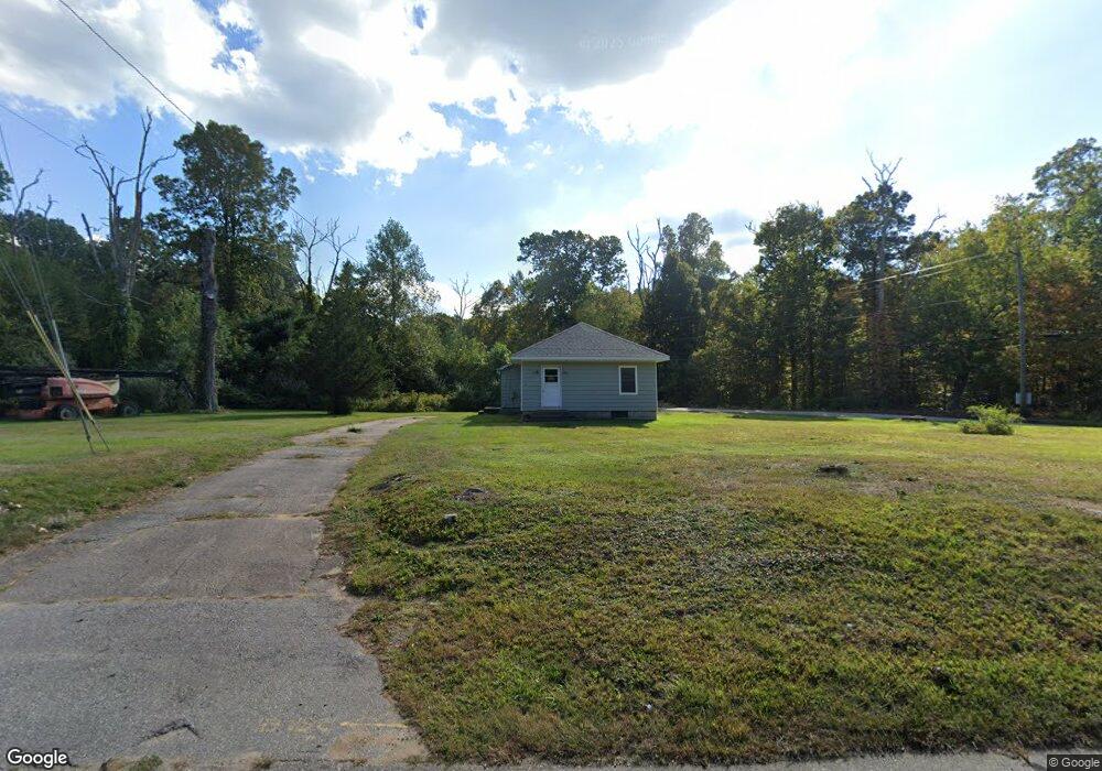
388 Route 2 Preston, CT 06365
Estimated Value: $101,903 - $266,000
2
Beds
1
Bath
660
Sq Ft
$267/Sq Ft
Est. Value
About This Home
This home is located at 388 Route 2, Preston, CT 06365 and is currently estimated at $176,226, approximately $267 per square foot. 388 Route 2 is a home located in New London County.
Ownership History
Date
Name
Owned For
Owner Type
Purchase Details
Closed on
Sep 15, 2022
Sold by
Yovino Agnes E
Bought by
William E & T A Coon Llc
Current Estimated Value
Create a Home Valuation Report for This Property
The Home Valuation Report is an in-depth analysis detailing your home's value as well as a comparison with similar homes in the area
Home Values in the Area
Average Home Value in this Area
Purchase History
| Date | Buyer | Sale Price | Title Company |
|---|---|---|---|
| William E & T A Coon Llc | $60,000 | None Available |
Source: Public Records
Tax History
| Year | Tax Paid | Tax Assessment Tax Assessment Total Assessment is a certain percentage of the fair market value that is determined by local assessors to be the total taxable value of land and additions on the property. | Land | Improvement |
|---|---|---|---|---|
| 2025 | $2,457 | $97,860 | $44,660 | $53,200 |
| 2024 | $2,287 | $97,860 | $44,660 | $53,200 |
| 2023 | $2,246 | $97,860 | $44,660 | $53,200 |
| 2022 | $2,487 | $89,200 | $49,400 | $39,800 |
| 2021 | $2,403 | $89,200 | $49,400 | $39,800 |
| 2020 | $2,399 | $89,200 | $49,400 | $39,800 |
| 2019 | $2,358 | $89,200 | $49,400 | $39,800 |
| 2018 | $2,322 | $89,200 | $49,400 | $39,800 |
| 2017 | $2,081 | $86,700 | $43,900 | $42,800 |
| 2016 | $2,085 | $87,800 | $43,900 | $43,900 |
| 2015 | $2,019 | $87,800 | $43,900 | $43,900 |
| 2014 | $2,032 | $87,800 | $43,900 | $43,900 |
Source: Public Records
Map
Nearby Homes
- 381 Route 2
- 991 Shewville Rd
- 16 Abbey Rd
- 14 Abbey Rd
- 31 Branch Hill Rd
- 25 Coachman Pike
- 6 Lake of Isles Rd
- 4 Lake of Isles Rd
- 121 Watson Rd
- 15 Paster Rd
- 36 Route 2a
- 104 Route 2a
- 0 Lake of Isles Rd Unit 170371521
- 11 Willow Ln
- 36 NW Corner Rd
- 57 NW Corner Rd
- 3 Hilltop Dr
- 16 Marlene Dr
- 24 Fairway Dr Unit 9
- 717 Norwich Westerly Rd
Your Personal Tour Guide
Ask me questions while you tour the home.