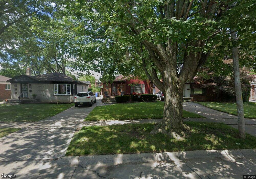
388 Sunningdale Dr Inkster, MI 48141
Estimated Value: $135,831 - $156,000
3
Beds
2
Baths
999
Sq Ft
$142/Sq Ft
Est. Value
About This Home
This home is located at 388 Sunningdale Dr, Inkster, MI 48141 and is currently estimated at $141,708, approximately $141 per square foot. 388 Sunningdale Dr is a home located in Wayne County with nearby schools including David Hicks School, Marshall Upper Elementary School, and John Glenn High School.
Ownership History
Date
Name
Owned For
Owner Type
Purchase Details
Closed on
Sep 26, 2016
Sold by
Smith Renata T
Bought by
Cmp Management Llc
Current Estimated Value
Purchase Details
Closed on
Mar 8, 2011
Sold by
Us Bank National Association
Bought by
Smith Renata T
Purchase Details
Closed on
Jun 17, 2010
Sold by
Mitchell Deloris
Bought by
Us Bank National Association
Purchase Details
Closed on
Feb 14, 2004
Sold by
Mitchell Johnny Kenneth
Bought by
Mitchell Deloris
Create a Home Valuation Report for This Property
The Home Valuation Report is an in-depth analysis detailing your home's value as well as a comparison with similar homes in the area
Home Values in the Area
Average Home Value in this Area
Purchase History
| Date | Buyer | Sale Price | Title Company |
|---|---|---|---|
| Cmp Management Llc | -- | None Available | |
| Smith Renata T | $12,700 | Rels Title | |
| Us Bank National Association | $17,000 | None Available | |
| Mitchell Deloris | -- | -- |
Source: Public Records
Tax History Compared to Growth
Tax History
| Year | Tax Paid | Tax Assessment Tax Assessment Total Assessment is a certain percentage of the fair market value that is determined by local assessors to be the total taxable value of land and additions on the property. | Land | Improvement |
|---|---|---|---|---|
| 2025 | $1,596 | $57,800 | $0 | $0 |
| 2024 | $1,596 | $48,300 | $0 | $0 |
| 2023 | $3,635 | $38,400 | $0 | $0 |
| 2022 | $1,838 | $31,000 | $0 | $0 |
| 2021 | $2,914 | $28,000 | $0 | $0 |
| 2020 | $1,876 | $23,700 | $0 | $0 |
| 2019 | $2,046 | $19,800 | $0 | $0 |
| 2018 | $1,425 | $18,800 | $0 | $0 |
| 2017 | $607 | $18,600 | $0 | $0 |
| 2016 | $2,360 | $18,800 | $0 | $0 |
| 2015 | $2,470 | $24,700 | $0 | $0 |
| 2013 | $3,340 | $33,400 | $0 | $0 |
| 2012 | $2,272 | $35,200 | $3,400 | $31,800 |
Source: Public Records
Map
Nearby Homes
- 420 Fairwood St
- 391 Arcola St
- 256 Brentwood St
- 375 Arcola St
- VACANT LOT Tromley St
- 201 Cardwell St
- 622 Tromley St
- 148 Rosemary St
- 742 Arlington St
- 27455 Avondale St
- 811 Arlington St
- 1014 Arlington St
- 9 Canfield Cir
- 1144 Center St
- 1088 Arlington St
- 26508 Monticello St
- 6 Canfield Cir
- 251 Helen St
- 212 Shadowlawn St
- 120 Lathers St
- 396 Sunningdale Dr
- 378 Sunningdale Dr
- 404 Sunningdale Dr
- 368 Sunningdale Dr
- 412 Sunningdale Dr
- 373 Sherbourne St
- 383 Sherbourne St
- 363 Sherbourne St
- 358 Sunningdale Dr
- 393 Sherbourne St
- 353 Sherbourne St
- 403 Sherbourne St
- 369 Sunningdale Dr
- 420 Sunningdale Dr
- 343 Sherbourne St
- 415 Sherbourne St
- 389 Sunningdale Dr
- 379 Sunningdale Dr
- 399 Sunningdale Dr
- 428 Sunningdale Dr