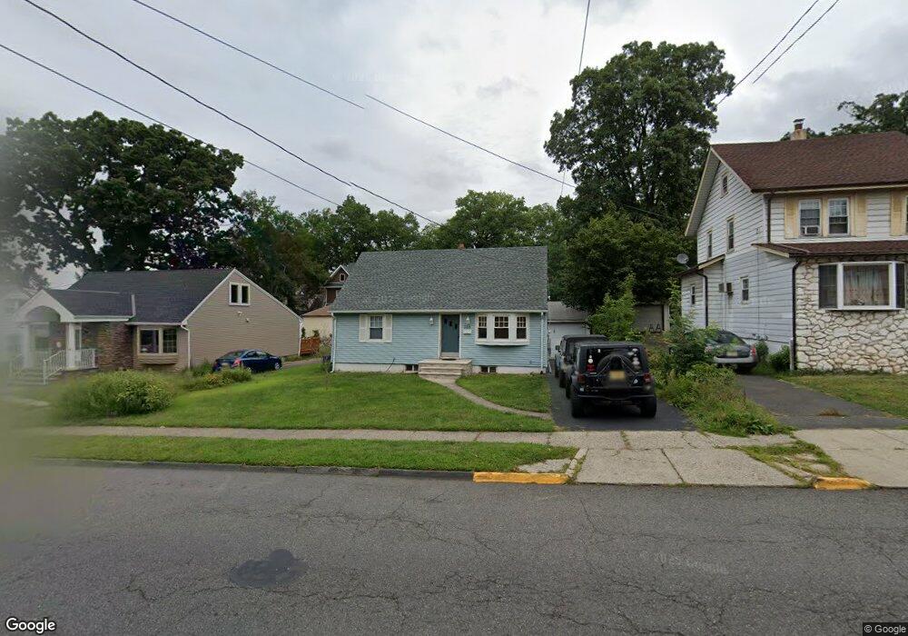
388 Union Ave Rutherford, NJ 07070
Estimated Value: $554,000 - $648,964
4
Beds
1
Bath
1,104
Sq Ft
$533/Sq Ft
Est. Value
About This Home
This home is located at 388 Union Ave, Rutherford, NJ 07070 and is currently estimated at $588,491, approximately $533 per square foot. 388 Union Ave is a home located in Bergen County with nearby schools including Rutherford High School, Yeshiva Ktana Of Passaic Boys, and The Academy at Saint Mary.
Ownership History
Date
Name
Owned For
Owner Type
Purchase Details
Closed on
Apr 28, 2006
Sold by
Muldoon Diane
Bought by
Papa David and Farmer Susan
Current Estimated Value
Home Financials for this Owner
Home Financials are based on the most recent Mortgage that was taken out on this home.
Original Mortgage
$360,000
Outstanding Balance
$207,781
Interest Rate
6.34%
Estimated Equity
$380,710
Purchase Details
Closed on
Nov 30, 1998
Sold by
Assenheimer Charles
Bought by
Muldoon Diane M
Home Financials for this Owner
Home Financials are based on the most recent Mortgage that was taken out on this home.
Original Mortgage
$115,000
Interest Rate
6.8%
Create a Home Valuation Report for This Property
The Home Valuation Report is an in-depth analysis detailing your home's value as well as a comparison with similar homes in the area
Home Values in the Area
Average Home Value in this Area
Purchase History
| Date | Buyer | Sale Price | Title Company |
|---|---|---|---|
| Papa David | $400,000 | -- | |
| Muldoon Diane M | $157,000 | Lawyers Title Insurance Corp |
Source: Public Records
Mortgage History
| Date | Status | Borrower | Loan Amount |
|---|---|---|---|
| Open | Papa David | $360,000 | |
| Previous Owner | Muldoon Diane M | $115,000 |
Source: Public Records
Tax History Compared to Growth
Tax History
| Year | Tax Paid | Tax Assessment Tax Assessment Total Assessment is a certain percentage of the fair market value that is determined by local assessors to be the total taxable value of land and additions on the property. | Land | Improvement |
|---|---|---|---|---|
| 2025 | $10,337 | $331,200 | $243,600 | $87,600 |
| 2024 | $10,075 | $331,200 | $243,600 | $87,600 |
| 2023 | $9,833 | $331,200 | $243,600 | $87,600 |
| 2022 | $9,833 | $331,200 | $243,600 | $87,600 |
| 2021 | $9,701 | $331,200 | $243,600 | $87,600 |
| 2020 | $9,443 | $331,200 | $243,600 | $87,600 |
| 2019 | $9,072 | $331,200 | $243,600 | $87,600 |
| 2018 | $8,946 | $331,200 | $243,600 | $87,600 |
| 2017 | $8,820 | $331,200 | $243,600 | $87,600 |
| 2016 | $8,624 | $331,200 | $243,600 | $87,600 |
| 2015 | $8,389 | $331,200 | $243,600 | $87,600 |
| 2014 | $8,128 | $331,200 | $243,600 | $87,600 |
Source: Public Records
Map
Nearby Homes
- 151 Jackson Ave
- 47 Vanderburgh Ave
- 25 Hastings Ave Unit B
- 171 Jackson Ave
- 150 Vanderburgh Ave Unit AA
- 63 Wingra Ave
- 415 Washington Ave
- 24 Sunderland Ave
- 110 Darwin Ave
- 141 Francisco Ave
- 106 Hobart Ave
- 237 Washington Ave
- 15 Insley Ave
- 230 Springfield Ave
- 57 Clark Ct Unit 57
- 314 W Passaic Ave
- 38 Triumph Ct Unit B
- 254 Springfield Ave
- 20 Walnut St
- 204 River Oaks Dr