3880 Nc 126 Unit 3884 Morganton, NC 28655
Lake James NeighborhoodEstimated Value: $91,000 - $276,000
3
Beds
1
Bath
980
Sq Ft
$180/Sq Ft
Est. Value
About This Home
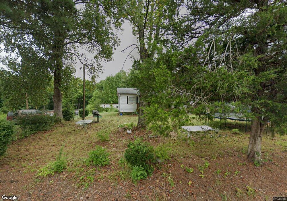
This home is located at 3880 Nc 126 Unit 3884, Morganton, NC 28655 and is currently estimated at $176,884, approximately $180 per square foot. 3880 Nc 126 Unit 3884 is a home located in Burke County with nearby schools including Oak Hill Elementary School, Table Rock Middle School, and Freedom High School.
Ownership History
Date
Name
Owned For
Owner Type
Purchase Details
Closed on
Sep 18, 2024
Sold by
Caldwell Betty J
Bought by
Caldwell Betty J and Bowie Lakeirria
Current Estimated Value
Purchase Details
Closed on
Feb 27, 2019
Sold by
Corpening Annie B
Bought by
Corpenning Annie B and Caldwell Betty J
Home Financials for this Owner
Home Financials are based on the most recent Mortgage that was taken out on this home.
Original Mortgage
$47,895
Interest Rate
4.4%
Mortgage Type
New Conventional
Create a Home Valuation Report for This Property
The Home Valuation Report is an in-depth analysis detailing your home's value as well as a comparison with similar homes in the area
Home Values in the Area
Average Home Value in this Area
Purchase History
| Date | Buyer | Sale Price | Title Company |
|---|---|---|---|
| Caldwell Betty J | -- | None Listed On Document | |
| Caldwell Betty J | -- | None Listed On Document | |
| Corpenning Annie B | -- | Timios Inc |
Source: Public Records
Mortgage History
| Date | Status | Borrower | Loan Amount |
|---|---|---|---|
| Previous Owner | Corpenning Annie B | $47,895 |
Source: Public Records
Tax History Compared to Growth
Tax History
| Year | Tax Paid | Tax Assessment Tax Assessment Total Assessment is a certain percentage of the fair market value that is determined by local assessors to be the total taxable value of land and additions on the property. | Land | Improvement |
|---|---|---|---|---|
| 2025 | $548 | $71,826 | $26,475 | $45,351 |
| 2024 | $295 | $71,826 | $26,475 | $45,351 |
| 2023 | $295 | $71,826 | $26,475 | $45,351 |
| 2022 | $208 | $46,556 | $13,642 | $32,914 |
| 2021 | $205 | $46,556 | $13,642 | $32,914 |
| 2020 | $203 | $46,556 | $13,642 | $32,914 |
| 2019 | $203 | $46,556 | $13,642 | $32,914 |
| 2018 | $193 | $45,205 | $13,845 | $31,360 |
| 2017 | $192 | $45,205 | $13,845 | $31,360 |
| 2016 | $187 | $45,205 | $13,845 | $31,360 |
| 2015 | $185 | $45,205 | $13,845 | $31,360 |
| 2014 | $184 | $45,205 | $13,845 | $31,360 |
| 2013 | $184 | $45,205 | $13,845 | $31,360 |
Source: Public Records
Map
Nearby Homes
- 2033 Starlight Ln Unit 111
- 2018 Starlight Ln
- 130 Hawksbill Dr Unit 47
- 1060 Hawksbill Dr
- 2108 E Bluewater Dr
- 2148 E Bluewater Dr
- 3100 E Moonlight Place Unit 42
- 3107 Channel View Cove
- 3375 Nc 126
- 0 Boyd Moore Ave Unit CAR3848175
- 1441 Southpointe Dr Unit 249
- 1416 Southpointe Dr
- 4625 Boyd Moore Ave
- 1387 Cedar Branch Ln
- 1441 Pheasant Run Ct
- 1277 Northview Dr
- 4617 Harbor View Terrace
- 5619 Channel View Cove
- 1003 Glory Dr Unit 60
- 1504 Brentwood Place