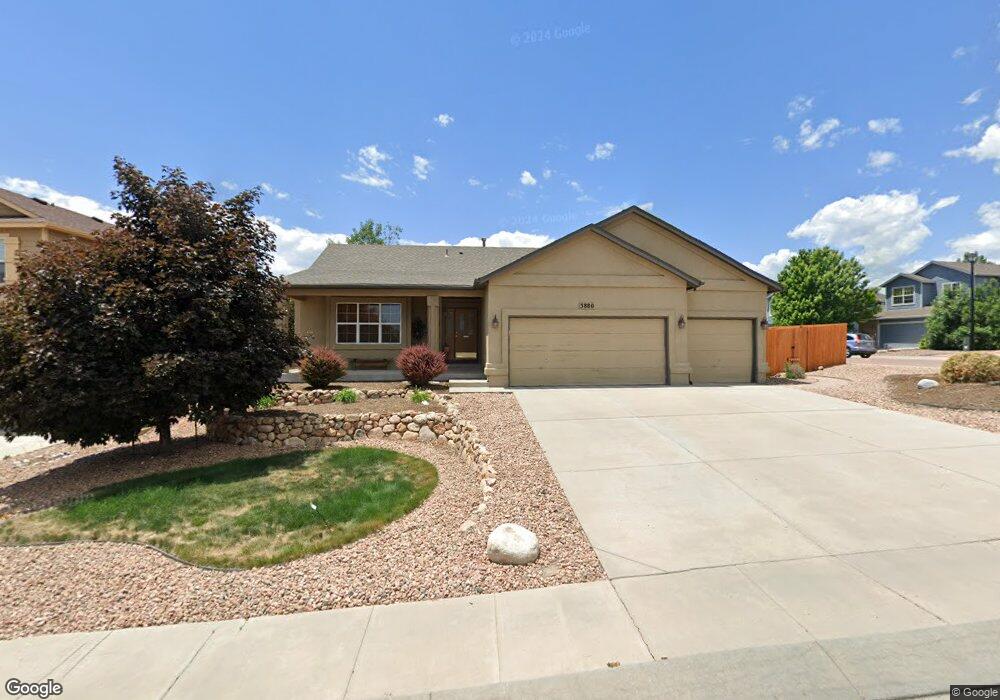
3880 Roan Dr Colorado Springs, CO 80922
Estimated Value: $451,627 - $532,000
3
Beds
2
Baths
1,506
Sq Ft
$327/Sq Ft
Est. Value
About This Home
This home is located at 3880 Roan Dr, Colorado Springs, CO 80922 and is currently estimated at $492,407, approximately $326 per square foot. 3880 Roan Dr is a home located in El Paso County with nearby schools including Springs Ranch Elementary School, Horizon Middle School, and Sand Creek High School.
Ownership History
Date
Name
Owned For
Owner Type
Purchase Details
Closed on
Mar 28, 2023
Sold by
Jones Frances Sanchez
Bought by
Sanchez-Jones Living Trust
Current Estimated Value
Purchase Details
Closed on
May 28, 2010
Sold by
Buxton Russell J and Buxton Jody E
Bought by
Jones Frances Sanchez
Home Financials for this Owner
Home Financials are based on the most recent Mortgage that was taken out on this home.
Original Mortgage
$264,900
Interest Rate
5%
Mortgage Type
VA
Purchase Details
Closed on
Sep 15, 2006
Sold by
Hallmark Building Co Ltd I
Bought by
Buxton Russell J and Buxton Jody E
Home Financials for this Owner
Home Financials are based on the most recent Mortgage that was taken out on this home.
Original Mortgage
$263,150
Interest Rate
6.55%
Mortgage Type
VA
Create a Home Valuation Report for This Property
The Home Valuation Report is an in-depth analysis detailing your home's value as well as a comparison with similar homes in the area
Home Values in the Area
Average Home Value in this Area
Purchase History
| Date | Buyer | Sale Price | Title Company |
|---|---|---|---|
| Sanchez-Jones Living Trust | -- | -- | |
| Jones Frances Sanchez | $264,900 | Ticor Title | |
| Buxton Russell J | $257,600 | Stewart Title Co Springs Inc |
Source: Public Records
Mortgage History
| Date | Status | Borrower | Loan Amount |
|---|---|---|---|
| Previous Owner | Jones Frances Sanchez | $264,900 | |
| Previous Owner | Buxton Russell J | $263,150 |
Source: Public Records
Tax History Compared to Growth
Tax History
| Year | Tax Paid | Tax Assessment Tax Assessment Total Assessment is a certain percentage of the fair market value that is determined by local assessors to be the total taxable value of land and additions on the property. | Land | Improvement |
|---|---|---|---|---|
| 2025 | $2,025 | $33,060 | -- | -- |
| 2024 | $1,921 | $32,740 | $4,620 | $28,120 |
| 2023 | $1,921 | $32,740 | $4,620 | $28,120 |
| 2022 | $1,682 | $24,600 | $4,170 | $20,430 |
| 2021 | $1,751 | $25,310 | $4,290 | $21,020 |
| 2020 | $1,547 | $22,270 | $3,580 | $18,690 |
| 2019 | $1,533 | $22,270 | $3,580 | $18,690 |
| 2018 | $1,368 | $19,550 | $3,020 | $16,530 |
| 2017 | $1,252 | $19,550 | $3,020 | $16,530 |
| 2016 | $1,308 | $20,150 | $2,950 | $17,200 |
| 2015 | $1,309 | $20,150 | $2,950 | $17,200 |
| 2014 | $1,249 | $18,860 | $2,790 | $16,070 |
Source: Public Records
Map
Nearby Homes
- 4013 Pronghorn Meadows Cir
- Trinity Plan at Windermere - 3500 Series
- 4029 Ryedale Way
- 3944 Ryedale Way
- 4144 Poplar Brook Dr
- 4013 Patterdale Place
- 4307 Addax Ct
- 4174 Gray Fox Heights
- 3707 Reindeer Cir
- 4481 Kingfisher Point
- 4157 Gray Fox Heights
- 4325 Crow Creek Dr
- 4491 Blue Grouse Point
- 4479 Blue Grouse Point
- 3617 Vineyard Cir
- 4352 Canteen Trail
- 4404 Poplar Brook Dr
- 7215 Amber Ridge Dr
- 4379 Gray Fox Heights
- 7775 Grizzly Bear Point