3881 Lane Spit Dr Lummi Island, WA 98262
Estimated Value: $518,000 - $699,000
1
Bed
1
Bath
926
Sq Ft
$634/Sq Ft
Est. Value
About This Home
This home is located at 3881 Lane Spit Dr, Lummi Island, WA 98262 and is currently estimated at $586,670, approximately $633 per square foot. 3881 Lane Spit Dr is a home located in Whatcom County with nearby schools including Beach Elementary School, Vista Middle School, and Ferndale High School.
Ownership History
Date
Name
Owned For
Owner Type
Purchase Details
Closed on
Oct 7, 2010
Sold by
Peterson James P
Bought by
Jamal Karim and Jamal Mariella
Current Estimated Value
Purchase Details
Closed on
Mar 5, 2003
Sold by
Granger Dale E
Bought by
Peterson James P and Peterson Lori R
Home Financials for this Owner
Home Financials are based on the most recent Mortgage that was taken out on this home.
Original Mortgage
$172,000
Interest Rate
5.85%
Mortgage Type
Seller Take Back
Create a Home Valuation Report for This Property
The Home Valuation Report is an in-depth analysis detailing your home's value as well as a comparison with similar homes in the area
Home Values in the Area
Average Home Value in this Area
Purchase History
| Date | Buyer | Sale Price | Title Company |
|---|---|---|---|
| Jamal Karim | $317,280 | Whatcom Land Title | |
| Peterson James P | -- | Whatcom Land Title |
Source: Public Records
Mortgage History
| Date | Status | Borrower | Loan Amount |
|---|---|---|---|
| Previous Owner | Peterson James P | $172,000 |
Source: Public Records
Tax History Compared to Growth
Tax History
| Year | Tax Paid | Tax Assessment Tax Assessment Total Assessment is a certain percentage of the fair market value that is determined by local assessors to be the total taxable value of land and additions on the property. | Land | Improvement |
|---|---|---|---|---|
| 2024 | $3,550 | $487,301 | $310,260 | $177,041 |
| 2023 | $3,550 | $469,560 | $298,965 | $170,595 |
| 2022 | $3,152 | $392,946 | $250,185 | $142,761 |
| 2021 | $2,708 | $316,896 | $201,765 | $115,131 |
| 2020 | $2,704 | $259,741 | $165,375 | $94,366 |
| 2019 | $2,158 | $235,593 | $150,000 | $85,593 |
| 2018 | $2,361 | $216,573 | $138,600 | $77,973 |
| 2017 | $2,213 | $181,709 | $116,300 | $65,409 |
| 2016 | $2,174 | $178,868 | $114,500 | $64,368 |
| 2015 | $2,014 | $173,638 | $111,500 | $62,138 |
| 2014 | -- | $158,822 | $102,000 | $56,822 |
| 2013 | -- | $154,795 | $100,000 | $54,795 |
Source: Public Records
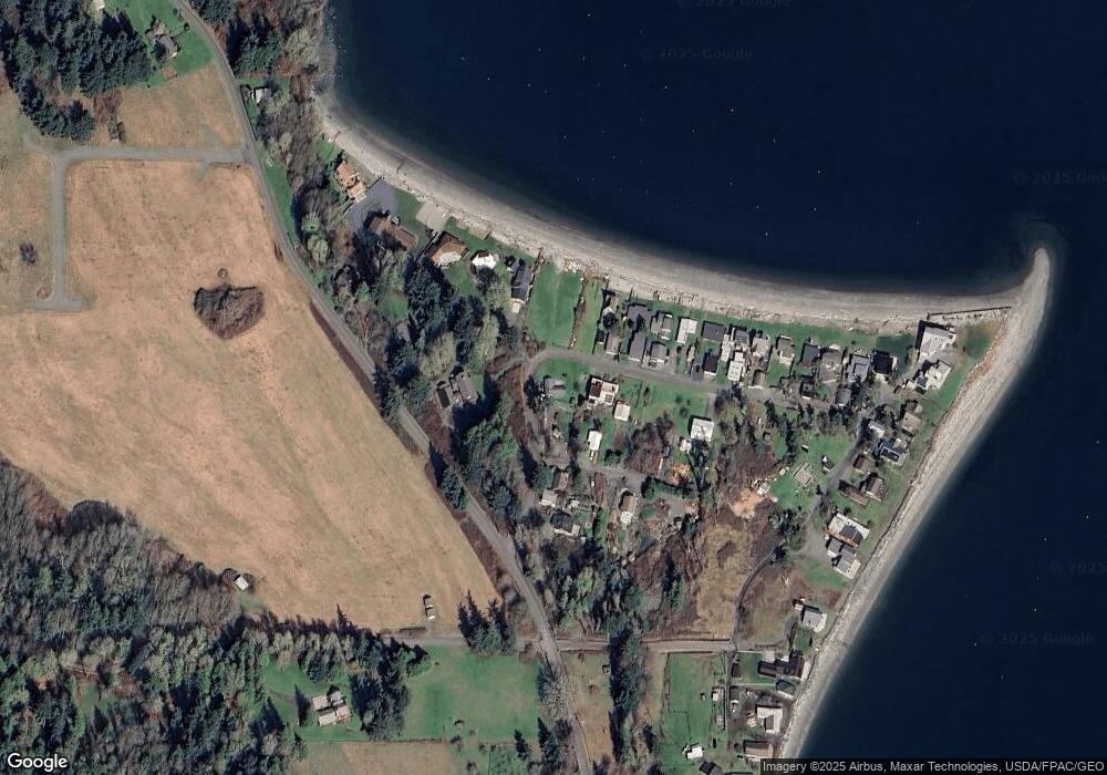
Map
Nearby Homes
- 2798 N Nugent Rd
- 2589 Lummi View Dr
- 2619 Lummi View Dr
- 2824 N Nugent Rd
- 3456 Emma Rd
- 2625 Lummi View Dr
- 3455 Velma Rd
- 3440 Emma Rd
- 2560 Lummi View Dr
- 2879 N Nugent Rd Unit H8
- 2093 Granger Way
- 2552 Lummi View Dr
- 3421 Lena Rd
- 2877 N Nugent Rd Unit M4
- 2877 N Nugent Rd Unit M3
- 2591 Taft Dr
- 2579 W Shore Dr
- 4372 Melcher Ave
- 2383 W Shore Dr
- 2553 Mackenzie Rd
- 3879 Lane Spit Dr
- 3889 Lane Spit Dr
- 3878 Lane Spit Dr
- 3898 Lane Spit Dr
- 3891 Lane Spit Dr
- 3896 Lane Spit Dr
- 3858 Lane Spit Dr
- 3873 Dorothy Way
- 3880 Lane Spit Dr
- 3893 Lane Spit Dr
- 3856 Lane Spit Dr
- 3923 Midden Ln
- 3852 Lane Spit Dr
- 3919 Midden Ln
- 3848 Lane Spit Dr
- 3844 Lane Spit Dr
- 3840 Lane Spit Dr
- 2562 N Nugent Rd
- 3909 Midden Ln
- 3838 Lane Spit Dr