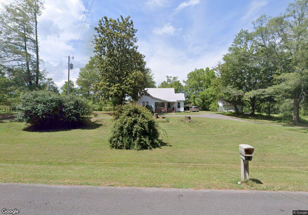
3883 Brock Rd SE Dalton, GA 30721
Estimated Value: $297,000 - $438,941
4
Beds
1
Bath
2,097
Sq Ft
$175/Sq Ft
Est. Value
About This Home
This home is located at 3883 Brock Rd SE, Dalton, GA 30721 and is currently estimated at $367,971, approximately $175 per square foot. 3883 Brock Rd SE is a home located in Whitfield County with nearby schools including Cedar Ridge Elementary School, Eastbrook Middle School, and Southeast Whitfield County High School.
Ownership History
Date
Name
Owned For
Owner Type
Purchase Details
Closed on
Sep 28, 2005
Sold by
Gibson Jetty Sue
Bought by
Kidd Betty L
Current Estimated Value
Home Financials for this Owner
Home Financials are based on the most recent Mortgage that was taken out on this home.
Original Mortgage
$234,000
Outstanding Balance
$120,595
Interest Rate
5.66%
Mortgage Type
New Conventional
Estimated Equity
$247,376
Create a Home Valuation Report for This Property
The Home Valuation Report is an in-depth analysis detailing your home's value as well as a comparison with similar homes in the area
Purchase History
| Date | Buyer | Sale Price | Title Company |
|---|---|---|---|
| Kidd Betty L | -- | -- |
Source: Public Records
Mortgage History
| Date | Status | Borrower | Loan Amount |
|---|---|---|---|
| Open | Kidd Betty L | $234,000 |
Source: Public Records
Tax History
| Year | Tax Paid | Tax Assessment Tax Assessment Total Assessment is a certain percentage of the fair market value that is determined by local assessors to be the total taxable value of land and additions on the property. | Land | Improvement |
|---|---|---|---|---|
| 2025 | -- | $156,657 | $86,737 | $69,920 |
| 2024 | -- | $156,657 | $86,737 | $69,920 |
| 2023 | $429 | $118,890 | $82,878 | $36,012 |
| 2022 | $370 | $90,387 | $58,912 | $31,475 |
| 2021 | $364 | $90,387 | $58,912 | $31,475 |
| 2020 | $735 | $90,387 | $58,912 | $31,475 |
| 2019 | $734 | $90,387 | $58,912 | $31,475 |
| 2018 | $1,391 | $90,387 | $58,912 | $31,475 |
| 2017 | $1,371 | $90,387 | $58,912 | $31,475 |
| 2016 | $1,229 | $87,630 | $58,912 | $28,718 |
| 2014 | $1,099 | $87,454 | $58,736 | $28,718 |
| 2013 | -- | $87,454 | $58,736 | $28,717 |
Source: Public Records
Map
Nearby Homes
- 4322 Banks Dr SE
- 1129 Mobley Mill Rd SE
- 185 Cedar Ridge Rd
- 0 SE Betty Ave
- 654 Keith Mill Rd SE
- 01 Headrick Cir SE
- 3657 Airport Rd
- 0 Tibbs Bridge Rd SE
- 1142 Ben Hill Rd SE
- 3407 Airport Rd SE
- 0 Ridge Rd SE Unit 1528911
- 404 Lakeview Dr SE
- 0 Old Grade Rd
- 129 Hillwood Dr
- 112 Gillespie Dr
- 00 Hill Rd
- 165 Stanley St Unit 560-561
- 118 Hill Rd
- 1401 Eastbrook Dr SE
- 0 Cheree Way Unit 129259
- 208 Payton Way
- 3887 Brock Rd SE
- 3853 Brock Rd SE
- 3851 Brock Rd SE
- 0 Brock Rd SE Unit 3267602
- 0 Brock Rd SE Unit 5050366
- 0 Brock Rd SE Unit 80018
- 00 Brock Rd SE
- 3849 Brock Rd SE
- 3847 Brock Rd SE
- 166 Jericho Way
- 3843 Brock Rd SE
- 3937 Brock Rd SE
- 3839 Brock Rd SE
- 3835 Brock Rd SE
- 310 Jericho Way
- 3831 Brock Rd SE
- 791 Keith Rd SE
- 4316 Banks Dr SE
- 772 Keith Rd SE
Your Personal Tour Guide
Ask me questions while you tour the home.