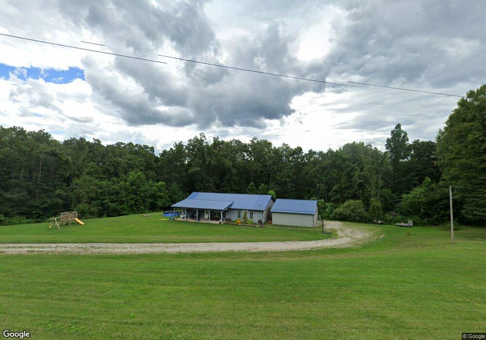
3885 State Route 676 Stockport, OH 43787
Estimated Value: $201,856 - $306,000
3
Beds
1
Bath
1,920
Sq Ft
$128/Sq Ft
Est. Value
About This Home
This home is located at 3885 State Route 676, Stockport, OH 43787 and is currently estimated at $246,214, approximately $128 per square foot. 3885 State Route 676 is a home located in Morgan County with nearby schools including Morgan High School.
Ownership History
Date
Name
Owned For
Owner Type
Purchase Details
Closed on
Mar 24, 2014
Sold by
Zumbro Jesse C
Bought by
Thompson Kyle L and Thompson Andreal
Current Estimated Value
Home Financials for this Owner
Home Financials are based on the most recent Mortgage that was taken out on this home.
Original Mortgage
$112,500
Outstanding Balance
$84,124
Interest Rate
3.99%
Mortgage Type
Adjustable Rate Mortgage/ARM
Estimated Equity
$162,090
Create a Home Valuation Report for This Property
The Home Valuation Report is an in-depth analysis detailing your home's value as well as a comparison with similar homes in the area
Home Values in the Area
Average Home Value in this Area
Purchase History
| Date | Buyer | Sale Price | Title Company |
|---|---|---|---|
| Thompson Kyle L | $117,467 | None Available |
Source: Public Records
Mortgage History
| Date | Status | Borrower | Loan Amount |
|---|---|---|---|
| Open | Thompson Kyle L | $112,500 |
Source: Public Records
Tax History Compared to Growth
Tax History
| Year | Tax Paid | Tax Assessment Tax Assessment Total Assessment is a certain percentage of the fair market value that is determined by local assessors to be the total taxable value of land and additions on the property. | Land | Improvement |
|---|---|---|---|---|
| 2024 | $1,626 | $50,540 | $8,000 | $42,540 |
| 2023 | $1,410 | $44,240 | $6,520 | $37,720 |
| 2022 | $1,050 | $32,900 | $6,520 | $26,380 |
| 2021 | $1,061 | $32,900 | $6,520 | $26,380 |
| 2019 | $1,010 | $29,930 | $5,930 | $24,000 |
| 2018 | $971 | $29,930 | $5,930 | $24,000 |
| 2017 | $959 | $28,833 | $5,117 | $23,716 |
| 2016 | $962 | $28,833 | $5,117 | $23,716 |
| 2015 | $962 | $28,833 | $5,117 | $23,716 |
| 2014 | $992 | $28,833 | $5,117 | $23,716 |
| 2013 | $981 | $28,833 | $5,117 | $23,716 |
Source: Public Records
Map
Nearby Homes
- 4000 C206
- Lot 1 Shinn Rd
- Lot 2 Shinn Rd
- Lot 2 Shinn Rd
- 4660 E J Ross Ln
- 0 Kosky Dr
- 3291 Kosky Dr
- 3111 Big Bottom Ln
- 5174 Lightner Ridge Rd
- 3439 Columbus St
- 0 Meadow St Unit Lot 9 5158299
- 0 Meadow St Unit Lot 9 225008020
- 3130 Ohio 266
- 1960 Broadway St
- 1715 South St
- 1770 Broadway St
- 1920 North St
- 3020 State Route 376
- 3265 Tieber Rd
- 2712 Sycamore Ln
- 3885 Rt 676
- 3870 State Route 676
- 3940 State Route 676
- 3940 Rt 676
- 4080 State Route 676
- 4201 State Route 676
- 5450 Patten Mills Rd
- 5230 Patten Mills Rd
- 5345 Patten Mills Rd
- 4900 State Route 676
- 6875 Dale Rd
- 6870 Dale Rd
- 5605 Patten Mills Rd
- 5750 Patten Mills Rd
- 7040 Dale Rd
- 5715 Patten Mills Rd
- 7188 Dale Rd
- 5645 Patten Mills Rd
- Spears Hill Rd
- 5765 Patten Mills Rd