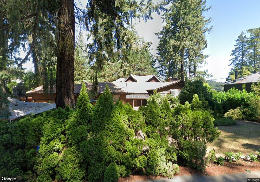
3889 Southshore Blvd Lake Oswego, OR 97035
Bryant NeighborhoodEstimated Value: $5,109,031 - $7,772,000
4
Beds
7
Baths
8,554
Sq Ft
$702/Sq Ft
Est. Value
About This Home
This home is located at 3889 Southshore Blvd, Lake Oswego, OR 97035 and is currently estimated at $6,008,010, approximately $702 per square foot. 3889 Southshore Blvd is a home located in Clackamas County with nearby schools including Lakeridge Middle School, Lakeridge High School, and The Children's Hour Academy.
Ownership History
Date
Name
Owned For
Owner Type
Purchase Details
Closed on
May 21, 2007
Sold by
Westlund Morris R
Bought by
Johnson Richard J and Johnson Janene K
Current Estimated Value
Home Financials for this Owner
Home Financials are based on the most recent Mortgage that was taken out on this home.
Original Mortgage
$1,000,000
Outstanding Balance
$603,628
Interest Rate
6.12%
Mortgage Type
Purchase Money Mortgage
Estimated Equity
$5,404,382
Create a Home Valuation Report for This Property
The Home Valuation Report is an in-depth analysis detailing your home's value as well as a comparison with similar homes in the area
Home Values in the Area
Average Home Value in this Area
Purchase History
| Date | Buyer | Sale Price | Title Company |
|---|---|---|---|
| Johnson Richard J | $5,250,000 | Fidelity Natl Title Co Of Or |
Source: Public Records
Mortgage History
| Date | Status | Borrower | Loan Amount |
|---|---|---|---|
| Open | Johnson Richard J | $1,000,000 |
Source: Public Records
Tax History Compared to Growth
Tax History
| Year | Tax Paid | Tax Assessment Tax Assessment Total Assessment is a certain percentage of the fair market value that is determined by local assessors to be the total taxable value of land and additions on the property. | Land | Improvement |
|---|---|---|---|---|
| 2025 | $83,434 | $4,344,585 | -- | -- |
| 2024 | $81,209 | $4,218,044 | -- | -- |
| 2023 | $81,209 | $4,095,189 | $0 | $0 |
| 2022 | $76,485 | $3,975,912 | $0 | $0 |
| 2021 | $70,643 | $3,860,109 | $0 | $0 |
| 2020 | $68,868 | $3,747,679 | $0 | $0 |
| 2019 | $67,173 | $3,638,524 | $0 | $0 |
| 2018 | $63,880 | $3,532,548 | $0 | $0 |
| 2017 | $61,638 | $3,429,658 | $0 | $0 |
| 2016 | $56,116 | $3,329,765 | $0 | $0 |
| 2015 | $54,215 | $3,232,782 | $0 | $0 |
| 2014 | $53,513 | $3,138,623 | $0 | $0 |
Source: Public Records
Map
Nearby Homes
- 17367 Canal Cir
- 16755 Graef Cir
- 4160 Westbay Rd
- 16636 Maple Cir
- 4264 Westbay Rd
- 4368 Lakeview Blvd
- 4241 Cobb Way
- 17210 Cedar Rd
- 3600 Lakeview Blvd
- 4470 Lakeview Blvd
- 3548 Lakeview Blvd
- 3730 Upper Dr
- 4224 Haven St
- 4480 Upper Dr
- 4610 Lower Dr
- 17035 Westview Dr
- 17810 Sarah Hill Ln
- 3850 Lake Grove Ave
- 3884 Lake Grove Ave
- 4280 Bernard St
- 3915 Southshore Blvd
- 16833 Allen Rd
- 3867 Southshore Blvd
- 3867 S Shore Blvd
- 3815 South Shore
- 3815 S Shore Bl
- 3815 Southshore Blvd
- 3917 Southshore Blvd
- 16819 Allen Rd
- 3805 Southshore Blvd
- 16903 Allen Rd
- 3931 Southshore Blvd
- 16931 Allen Rd
- 3919 Southshore Blvd
- 3951 Southshore Blvd
- 16820 Allen Rd
- 16842 Allen Rd
- 3814 Southshore Blvd
- 16806 Allen Rd
- 16874 Allen Rd