389 Anderson Rd Georgetown, KY 40324
Muddy Ford NeighborhoodEstimated Value: $639,000 - $1,081,000
4
Beds
5
Baths
5,429
Sq Ft
$156/Sq Ft
Est. Value
About This Home
This home is located at 389 Anderson Rd, Georgetown, KY 40324 and is currently estimated at $846,543, approximately $155 per square foot. 389 Anderson Rd is a home located in Scott County with nearby schools including Creekside Elementary School, Northern Elementary School, and Scott County Middle School.
Ownership History
Date
Name
Owned For
Owner Type
Purchase Details
Closed on
May 12, 2023
Sold by
Tadapp32 Llc
Bought by
Long Parr Management Llc
Current Estimated Value
Purchase Details
Closed on
Nov 19, 2009
Sold by
Arrowood Robert and Arrowood Stephanie
Bought by
Furlong Kristopher M and Furlong Grant D
Home Financials for this Owner
Home Financials are based on the most recent Mortgage that was taken out on this home.
Original Mortgage
$62,900
Interest Rate
4.92%
Mortgage Type
Purchase Money Mortgage
Create a Home Valuation Report for This Property
The Home Valuation Report is an in-depth analysis detailing your home's value as well as a comparison with similar homes in the area
Home Values in the Area
Average Home Value in this Area
Purchase History
| Date | Buyer | Sale Price | Title Company |
|---|---|---|---|
| Long Parr Management Llc | $95,000 | Bluegrass Land Title | |
| Furlong Kristopher M | $74,000 | None Available |
Source: Public Records
Mortgage History
| Date | Status | Borrower | Loan Amount |
|---|---|---|---|
| Previous Owner | Furlong Kristopher M | $62,900 |
Source: Public Records
Tax History Compared to Growth
Tax History
| Year | Tax Paid | Tax Assessment Tax Assessment Total Assessment is a certain percentage of the fair market value that is determined by local assessors to be the total taxable value of land and additions on the property. | Land | Improvement |
|---|---|---|---|---|
| 2024 | $5,165 | $574,300 | $0 | $0 |
| 2023 | $5,101 | $562,600 | $65,000 | $497,600 |
| 2022 | $4,784 | $562,600 | $65,000 | $497,600 |
| 2021 | $4,697 | $535,600 | $60,000 | $475,600 |
| 2020 | $4,556 | $530,292 | $60,000 | $470,292 |
| 2019 | $4,628 | $530,292 | $0 | $0 |
| 2018 | $4,602 | $530,292 | $0 | $0 |
| 2017 | $4,386 | $502,992 | $0 | $0 |
| 2016 | $4,050 | $502,992 | $0 | $0 |
| 2015 | $4,025 | $503,000 | $0 | $0 |
| 2014 | $3,607 | $472,100 | $0 | $0 |
| 2011 | $2,119 | $291,437 | $0 | $0 |
Source: Public Records
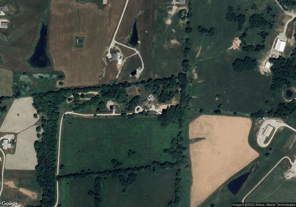
Map
Nearby Homes
- 155 Blackberry Ln
- 173 Blackberry Ln
- 163 Blackberry Ln
- 161 Blackberry Ln
- 154 Blackberry Ln
- 165 Blackberry Ln
- 167 Blackberry Ln
- 157 Blackberry Ln
- 769 Anderson Rd
- 768 Gunnell Rd
- 2491 Oxford Village Ln
- 1090 Gunnell Rd
- 943 Sims Pike
- 139 Nuthatch Trail
- 141 Nuthatch Trail
- Martha Plan at Barkley Meadows
- Elizabeth Plan at Barkley Meadows
- Barbara Plan at Barkley Meadows
- Eleanor Plan at Barkley Meadows
- Nancy Plan at Barkley Meadows
- 385 Anderson Rd
- 579 Anderson Rd
- 571 Anderson Rd
- 453 Anderson Rd
- 381 Anderson Rd
- 361 Anderson Rd
- 551 Anderson Rd
- 455 Anderson Rd
- 519 Anderson Rd
- 459 Anderson Rd
- 451 Anderson Rd
- 555 Anderson Rd
- 113 Juniper Path Unit 203
- 113 Juniper Path Unit 103
- 112 Compass Trail
- 113 Juniper Path Unit 202
- 158 Blackberry Ln
- 150 Blackberry Ln
- 148 Blackberry Ln
- 429 Anderson Rd