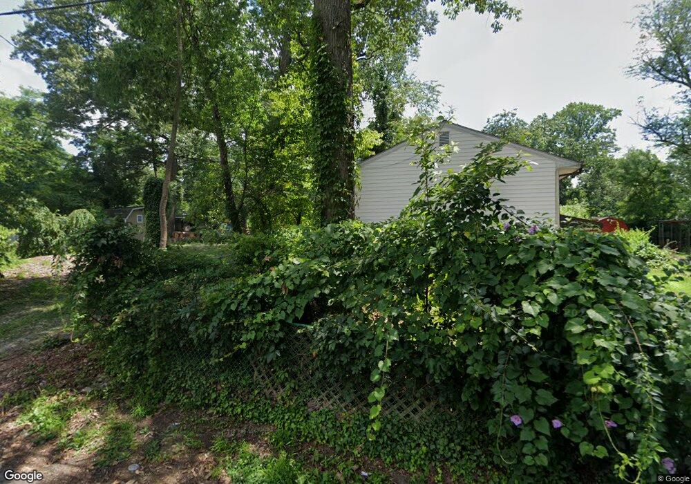
389 Chestnut Trail Crownsville, MD 21032
Herald Harbor NeighborhoodEstimated Value: $188,000 - $415,000
--
Bed
2
Baths
698
Sq Ft
$390/Sq Ft
Est. Value
About This Home
This home is located at 389 Chestnut Trail, Crownsville, MD 21032 and is currently estimated at $272,318, approximately $390 per square foot. 389 Chestnut Trail is a home located in Anne Arundel County with nearby schools including South Shore Elementary School and Old Mill High School.
Ownership History
Date
Name
Owned For
Owner Type
Purchase Details
Closed on
May 23, 2025
Sold by
North Avery R
Bought by
Umstead Shane
Current Estimated Value
Home Financials for this Owner
Home Financials are based on the most recent Mortgage that was taken out on this home.
Original Mortgage
$50,000
Outstanding Balance
$49,916
Interest Rate
6.86%
Mortgage Type
Seller Take Back
Estimated Equity
$222,403
Create a Home Valuation Report for This Property
The Home Valuation Report is an in-depth analysis detailing your home's value as well as a comparison with similar homes in the area
Home Values in the Area
Average Home Value in this Area
Purchase History
| Date | Buyer | Sale Price | Title Company |
|---|---|---|---|
| Umstead Shane | $190,000 | None Listed On Document | |
| Umstead Shane | $190,000 | None Listed On Document |
Source: Public Records
Mortgage History
| Date | Status | Borrower | Loan Amount |
|---|---|---|---|
| Open | Umstead Shane | $50,000 | |
| Closed | Umstead Shane | $50,000 | |
| Open | Umstead Shane | $175,000 | |
| Closed | Umstead Shane | $175,000 |
Source: Public Records
Tax History Compared to Growth
Tax History
| Year | Tax Paid | Tax Assessment Tax Assessment Total Assessment is a certain percentage of the fair market value that is determined by local assessors to be the total taxable value of land and additions on the property. | Land | Improvement |
|---|---|---|---|---|
| 2025 | $2,252 | $300,500 | $238,000 | $62,500 |
| 2024 | $2,252 | $285,233 | $0 | $0 |
| 2023 | $1,700 | $269,967 | $0 | $0 |
| 2022 | $2,020 | $254,700 | $208,000 | $46,700 |
| 2021 | $1,020 | $242,267 | $0 | $0 |
| 2020 | $1,900 | $229,833 | $0 | $0 |
| 2019 | $1,863 | $217,400 | $150,500 | $66,900 |
| 2018 | $2,190 | $215,933 | $0 | $0 |
| 2017 | $1,772 | $214,467 | $0 | $0 |
| 2016 | -- | $213,000 | $0 | $0 |
| 2015 | -- | $209,867 | $0 | $0 |
| 2014 | -- | $206,733 | $0 | $0 |
Source: Public Records
Map
Nearby Homes
- 0 Beech Trail
- 366 Walnut Trail
- 0 Elm Trail
- 0 Redwood Trail Unit MDAA2111808
- 0 Redwood Trail Unit MDAA2111804
- 0 Whitewood Trail
- 330 S Riverside Dr
- 355 Kyle Rd
- 1116 Ridge Place
- Lots 25 and 26 Redwood Trail
- Lots 27 and 28 Redwood Trail
- Lots 23 and 24 Redwood Trail
- 1013 Plum Creek Dr
- 0 Herald Harbor Rd Unit MDAA2123892
- 852 Birch Trail
- 872 Redwood Trail
- 478 Mountain Rd
- 359 Hall Rd
- 1001 Omar Dr
- 902 Hine Trail
- 390 Holly Trail
- 385 Chestnut Trail
- 391 Chestnut Trail
- 765 Valentine Rd
- 392 Chestnut Trail
- 390 Chestnut Trail
- 388 Holly Trail
- 388 Chestnut Trail
- 396 Chestnut Trail
- 386 Chestnut Trail
- 753 Valentine Rd
- 763 Valentine Rd
- 386 Holly Trail
- 383 Chestnut Trail
- 395 Holly Trail
- 383 Walnut Trail
- 385 Walnut Trail
- 381 Walnut Trail
- 391 Holly Trail
- 389 000 Holly Trail